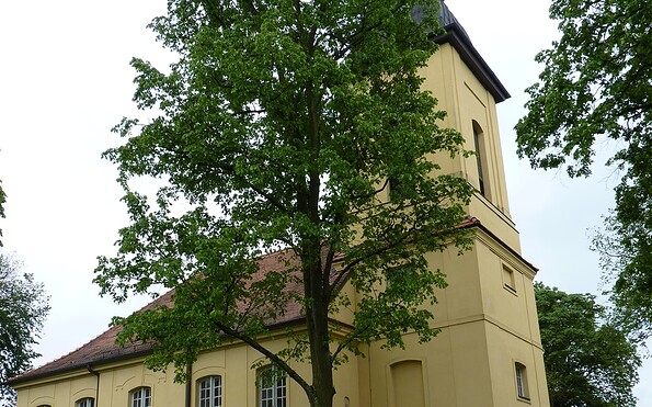
Circular walk through Töpchin

Hiking tours
Length: 8 km
0 Ratings of 5 (0)
0
0
0
0
0
How did you like your stay? You have already rated your stay.
Hiking tours
Length: 8 km
From €
Show availability & price

p.P. = per person, p.P./N = per person / night, p.E./N = per unit / night, EZ = Single room, DZ = double room, FeWo = holiday home, App. = apartment, Suite = suite, FR = Breakfast, HP = half board, VP = full board
The hike leads through and around the village of Töpchin. It starts at the church and leads through Töpchin-Siedlung. Clay pits and former brick-making sites are contemporary witnesses of the intensive clay mining and brick-making industry in the region. The bricks were largely used to build Berlin.
Continue readingcollapse
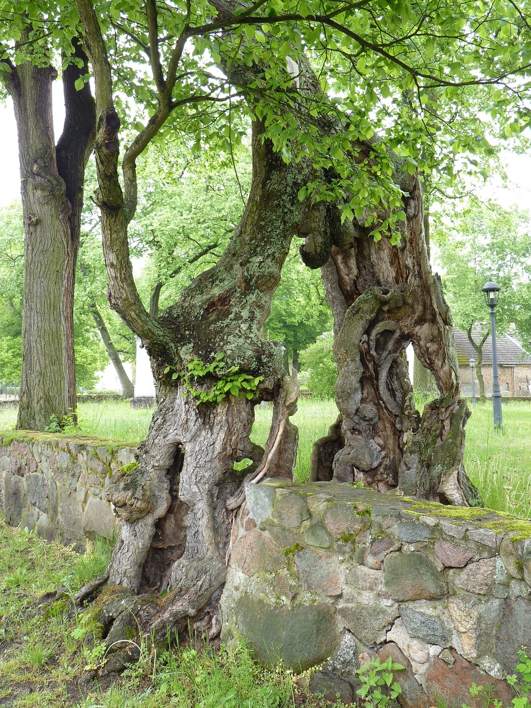
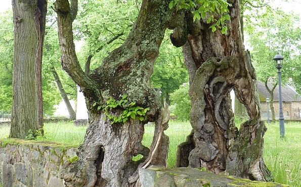
  • Ulme an der Kirchemauer, Foto: Petra Förster, Lizenz: Tourismusverband Dahme-Seenland e.V.
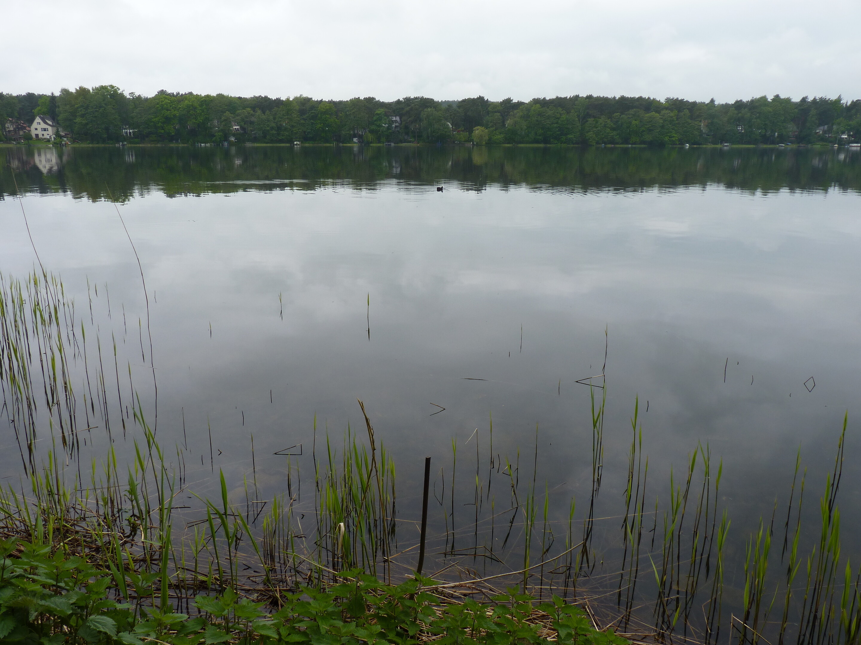
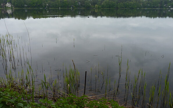
  • Motzener See, Foto: Petra Förster, Lizenz: Tourismusverband Dahme-Seenland e.V.
  • Kirche Motzen, Foto: Petra Förster, Lizenz: Tourismusverband Dahme-Seenland e.V.
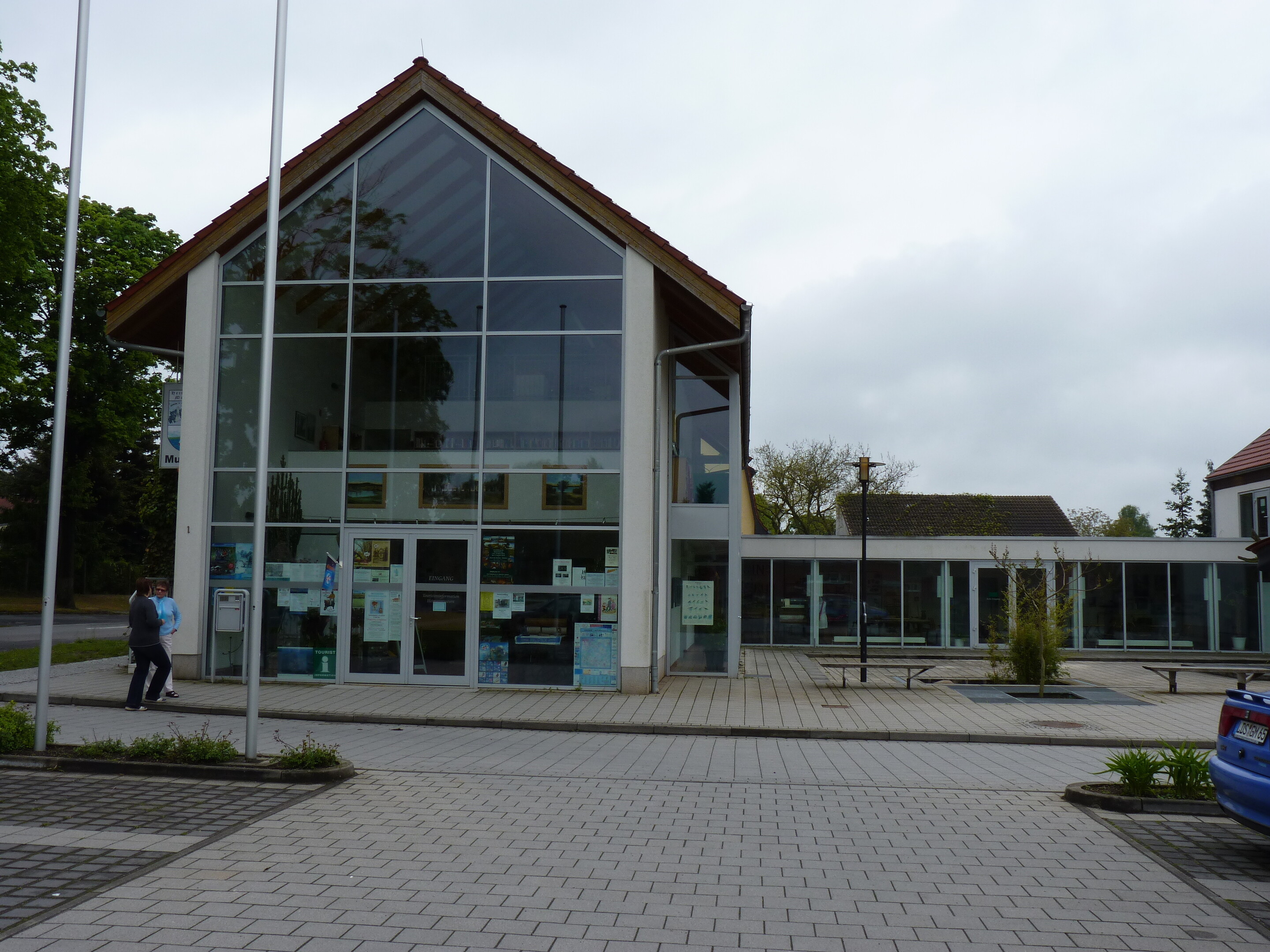
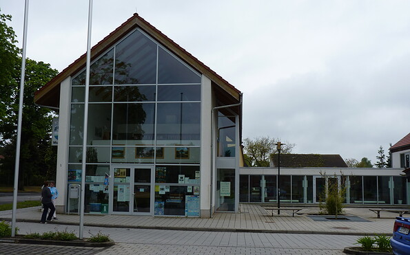
  • Haus des Gastes, Foto: Petra Förster, Lizenz: Tourismusverband Dahme-Seenland e.V.
Part of the trail leads through the "Töpchiner Seen" nature reserve. Especially here, the hiking trails should not be left, as the area was also used as a military training area in the course of its eventful history.

Length:

    8 km, 2 to 3 hours

Start / Finish:

    Töpchin church

Route: Töpchin church - Töpchin/Siedlung - fields near Töpchin - Mühlenberg - Töpchin church

Waymarking: Red circle on white background

Arrival and departure by public transport:

     Regular bus connections to Königs Wusterhausen railway station.

Places of interest:

    Brickworks hiking trail with information boards

    Village church

    Nature reserve

Possible combinations:

    Paul Gerhardt Trail

    Fontanewanderweg

    Kahler Berg circular footpath

    Töpchin Lakes circular trail

    Motzen Golf Course circular trail

    Brickworks hiking trail

Map recommendations:
  • Rad-, Wander- & Gewässerkarte, Dahme-Seenland, Königs Wusterhausen, Teupitz, 1:35.000, Grünes Herz, ISBN: 978-3-86636-176-8, 4,95 Euro
  • Radwander- und Wanderkarte "Flutgrabenaue und Umgebung",

    1:35.000, Dr. Barthel Verlag, ISBN 978-3-89591-097-5, 4,90 Euro
  • Radwander- und Wanderkarte "Naturpark Dahme-Heideseen" Ausflüge zwischen Märkisch Buchholz, Teupitz, Königs Wusterhausen, Storkow (Mark),

    1:35.000, Dr. Barthel Verlag, ISBN 978-3-89591-092-0, 6,90 Euro

Continue readingcollapse
The hike leads through and around the village of Töpchin. It starts at the church and leads through Töpchin-Siedlung. Clay pits and former brick-making sites are contemporary witnesses of the intensive clay mining and brick-making industry in the region. The bricks were largely used to build Berlin.
Continue readingcollapse
  • Ulme an der Kirchemauer, Foto: Petra Förster, Lizenz: Tourismusverband Dahme-Seenland e.V.
  • Motzener See, Foto: Petra Förster, Lizenz: Tourismusverband Dahme-Seenland e.V.
  • Kirche Motzen, Foto: Petra Förster, Lizenz: Tourismusverband Dahme-Seenland e.V.
  • Haus des Gastes, Foto: Petra Förster, Lizenz: Tourismusverband Dahme-Seenland e.V.
Part of the trail leads through the "Töpchiner Seen" nature reserve. Especially here, the hiking trails should not be left, as the area was also used as a military training area in the course of its eventful history.

Length:

    8 km, 2 to 3 hours

Start / Finish:

    Töpchin church

Route: Töpchin church - Töpchin/Siedlung - fields near Töpchin - Mühlenberg - Töpchin church

Waymarking: Red circle on white background

Arrival and departure by public transport:

     Regular bus connections to Königs Wusterhausen railway station.

Places of interest:

    Brickworks hiking trail with information boards

    Village church

    Nature reserve

Possible combinations:

    Paul Gerhardt Trail

    Fontanewanderweg

    Kahler Berg circular footpath

    Töpchin Lakes circular trail

    Motzen Golf Course circular trail

    Brickworks hiking trail

Map recommendations:
  • Rad-, Wander- & Gewässerkarte, Dahme-Seenland, Königs Wusterhausen, Teupitz, 1:35.000, Grünes Herz, ISBN: 978-3-86636-176-8, 4,95 Euro
  • Radwander- und Wanderkarte "Flutgrabenaue und Umgebung",

    1:35.000, Dr. Barthel Verlag, ISBN 978-3-89591-097-5, 4,90 Euro
  • Radwander- und Wanderkarte "Naturpark Dahme-Heideseen" Ausflüge zwischen Märkisch Buchholz, Teupitz, Königs Wusterhausen, Storkow (Mark),

    1:35.000, Dr. Barthel Verlag, ISBN 978-3-89591-092-0, 6,90 Euro

Continue readingcollapse

Arrival planner

Waldecker Str. 11

15745 Mittenwalde OT Töpchin

Weather Today, 25. 7.

19 21
clear sky

  • Sunday
    15 26
  • Monday
    15 24

Tourist information

Tourismusverband Dahme Seenland e.V.

Bahnhofsvorplatz 5
15711 Königs Wusterhausen

Tel.: +49 (0) 3375-252025

Weather Today, 25. 7.

19 21
clear sky

  • Sunday
    15 26
  • Monday
    15 24

All information, times and prices are regularly checked and updated. Nevertheless, we can not guarantee the accuracy of the data. We recommend that you inquire about the current status by phone / e-mail or via the provider's website before your visit.