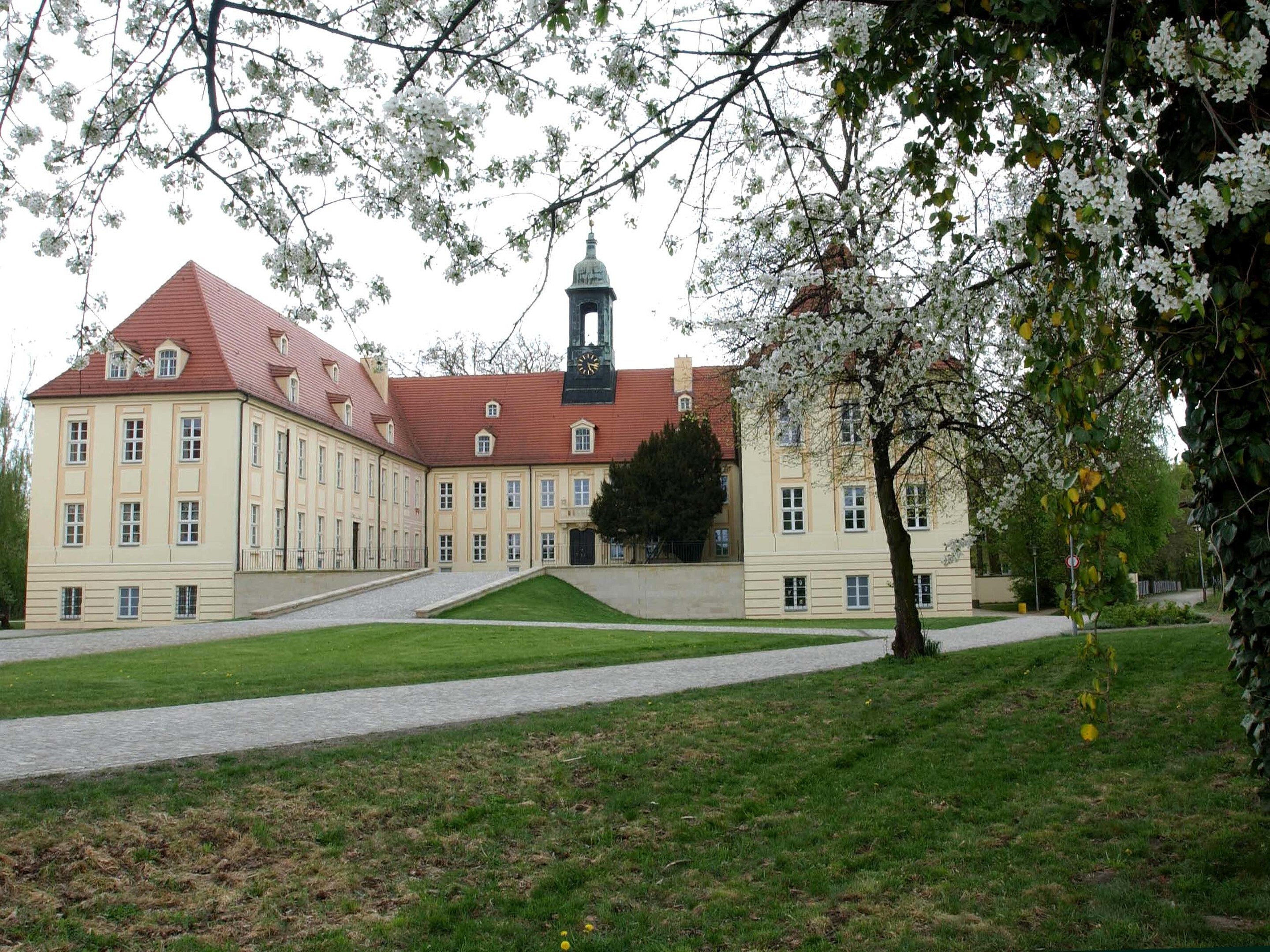
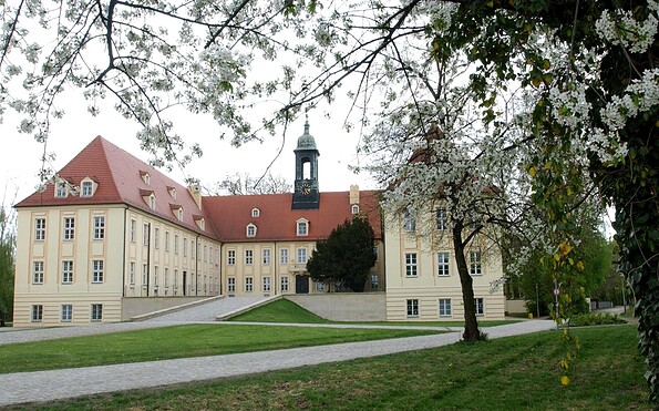
Address
Hauptstraße 12
04910 Elsterwerda
04910 Elsterwerda
Hauptstraße 12
04910 Elsterwerda
04910 Elsterwerda
Hauptstraße 12
04910 Elsterwerda
04910 Elsterwerda
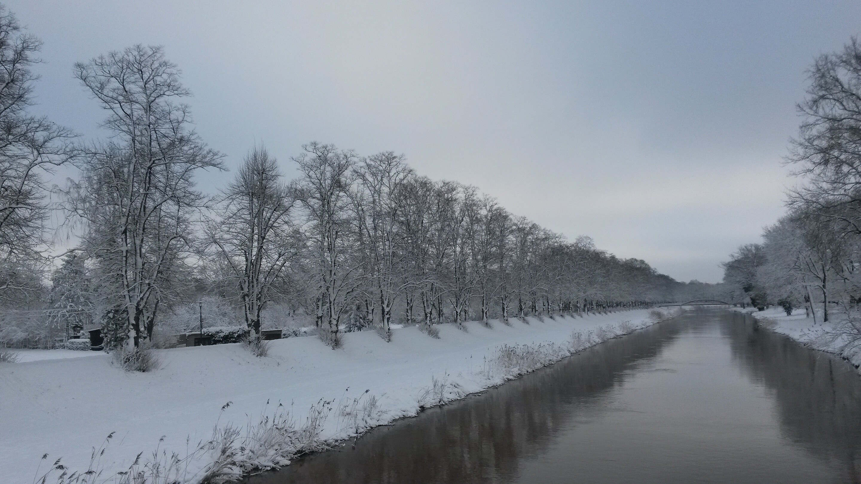
This tour leads through the region: Elbe-Elster-Land