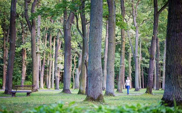
Spree floodplains from Hangelsberg to Fürstenwalde on the 66 lakes hiking trail (stage 13)

Hiking tours
Length: 14 km
0 Ratings of 5 (0)
0
0
0
0
0
How did you like your stay? You have already rated your stay.
Hiking tours
Length: 14 km
From €
Show availability & price

p.P. = per person, p.P./N = per person / night, p.E./N = per unit / night, EZ = Single room, DZ = double room, FeWo = holiday home, App. = apartment, Suite = suite, FR = Breakfast, HP = half board, VP = full board

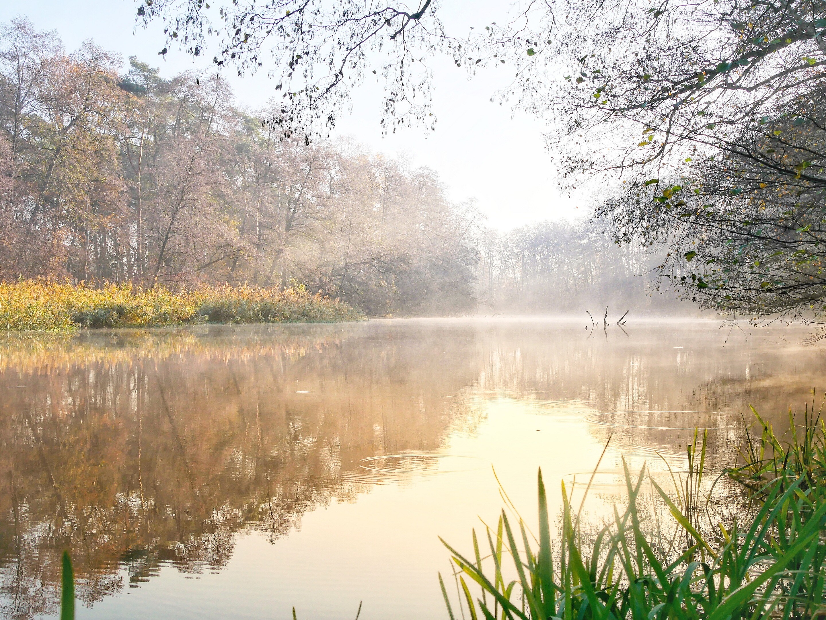
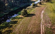
Along the green banks of the Spree, the route takes you from Hangelsberg to the cathedral town of Fürstenwalde. Time and again, detours through riverside meadows take you right up to the water’s edge – a delight on narrow paths, though depending on the weather, you may find the ground beneath your feet a little soggy. Vast floodplains and ancient oaks, a few bathing spots and rest areas invite you to take a breather. And if you keep your eyes open, you’ll be surprised here and there by art along the way.


Length: 14 km, duration: approx. 3:30 h

Start: Hangelsberg

Destination: Fürstenwalde

Logo / route marking: Blue point on a white background

Arrival by public transport: From Berlin main station with the RE1 (Frankfurt (Oder)) to Hangelsberg (approx. 40 min)

Departure public transport: From Fürstenwalde with the RE1 (Magdeburg) to Berlin Central Station (approx. 45 min)

Course: Hangelsberg, Große Tränke, Fürstenwalde


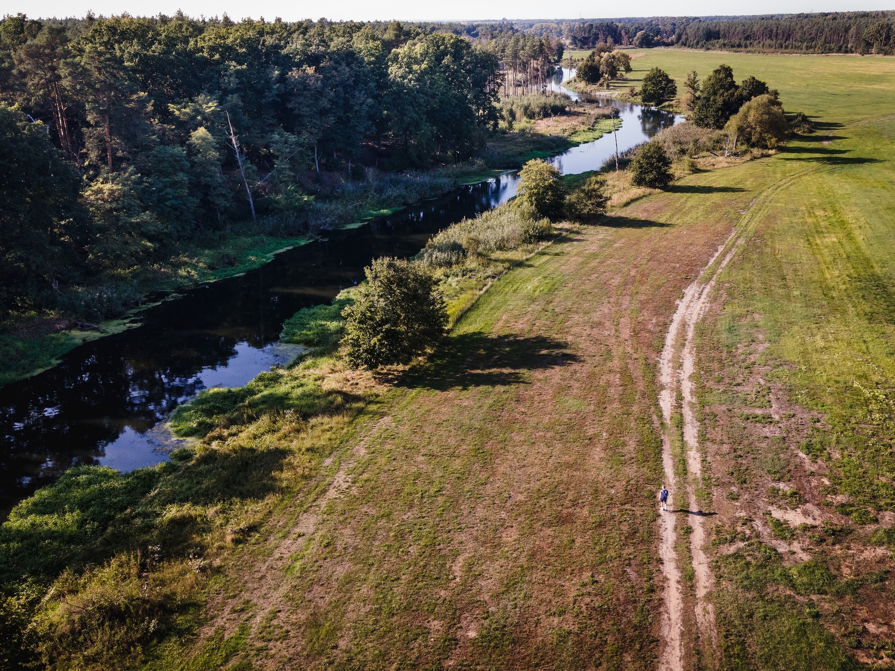
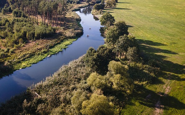
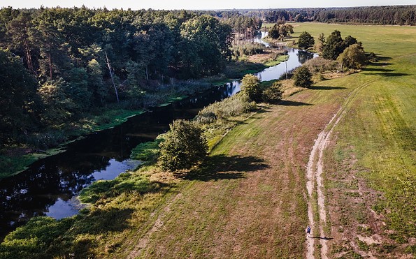
How to get there / Interesting facts: From Hangelsberg station, the 66 Lakes Trail leads through the village towards the outskirts. In dry weather, it’s worth taking a detour to the banks of the Spree, which flows in a wide arc around the village. You walk close to the water across meadows and narrow paths until you rejoin the 66 Lakes Trail. Beyond Hangelsberg, the trail shares the route with the Spree Cycle Path. If it has been dry for long enough, you can instead walk directly along the banks of the Spree on narrow paths in many places – closer to the river. Belts of reeds open up, and meadows and woodland stretch right down to the water’s edge.

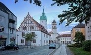
Every now and then, sculptures and carvings adorn the path. They were installed in 2013 as part of an artists’ workshop. At the former Große Tränke lock complex, where the Oder-Spree Canal flows into the Spree, a secluded spot invites you to take a break. Afterwards, the path continues, always close to the Spree, towards Fürstenwalde. The town park, cathedral and railway station are close together and mark the end of this peaceful, relaxed stage.


Sights:


  • Bank of the Spree
  • Oder-Spree-Canal at the Große Tränke lock

  • Fürstenwalde: Heimattiergarten, St. Mary's Cathedral, brewery museum, city museum, culture factory, old town hall, remains of the city wall, lighthouse

Route characteristics / route expansion: Mixture of paved and unpaved roads

Maps / literature:

  • "66-Seen-Weg, Hikeline hiking guide", publisher: Esterbauer GmbH, edition: 3 (2019), ISBN: 978-3-85000-760-3, 11.90 euros
  • "66-Seen-Wanderung, Zu den Naturschönheiten rund um Berlin", publisher: Trescher Verlag, edition: 10. (2024), ISBN 978-3-89794-623-1, 16.95 euros


Continue readingcollapse
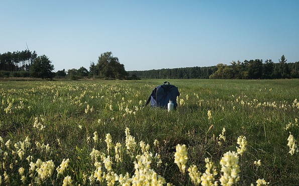
  • 66 lakes hiking trail break at Hangelsberg, Foto: Christoph Creutzburg, Lizenz: Seenland Oder-Spree
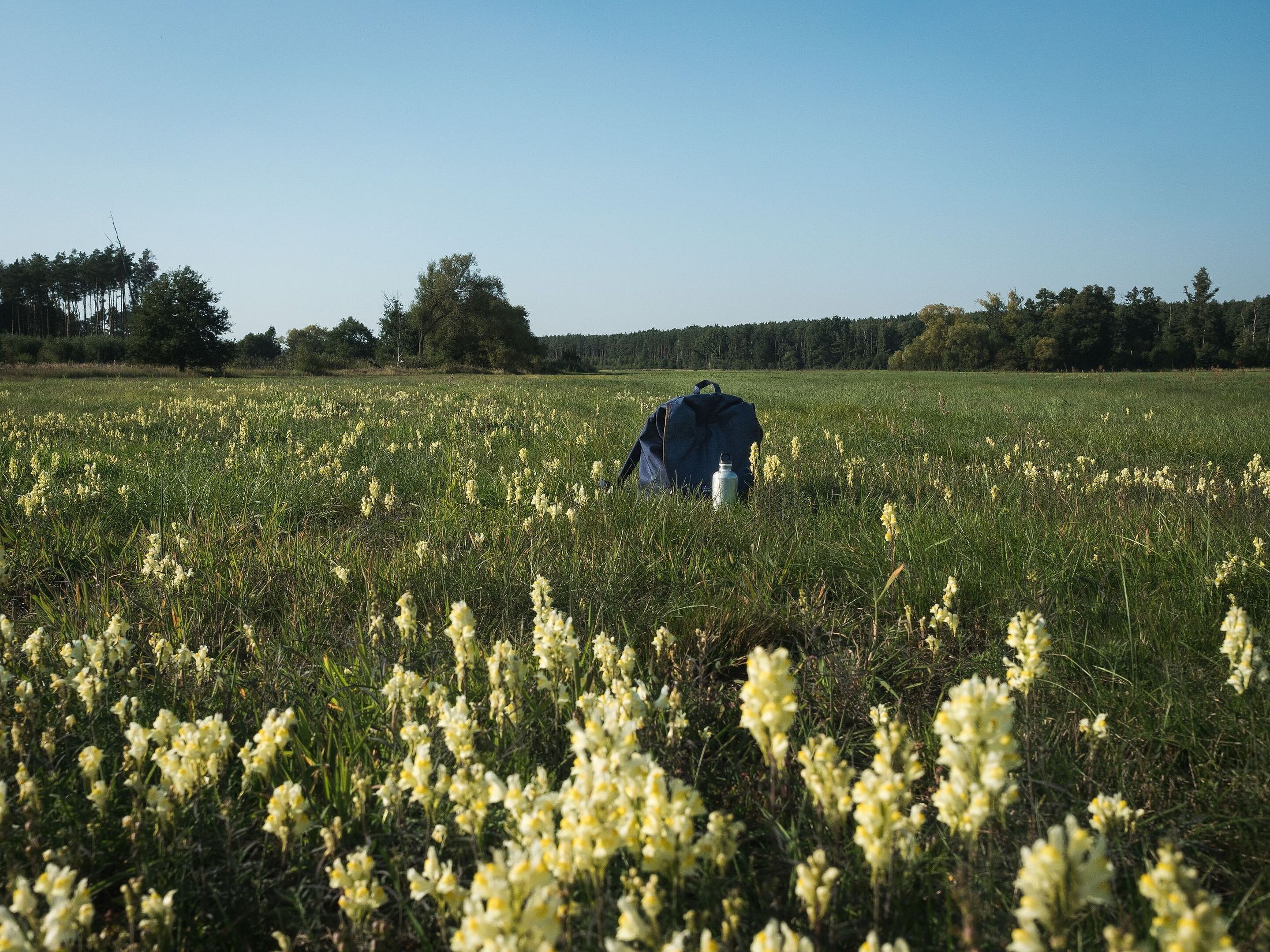
  • Müggelspree near Hangelsberg, Foto: Christoph Creutzburg, Lizenz: Seenland Oder-Spree
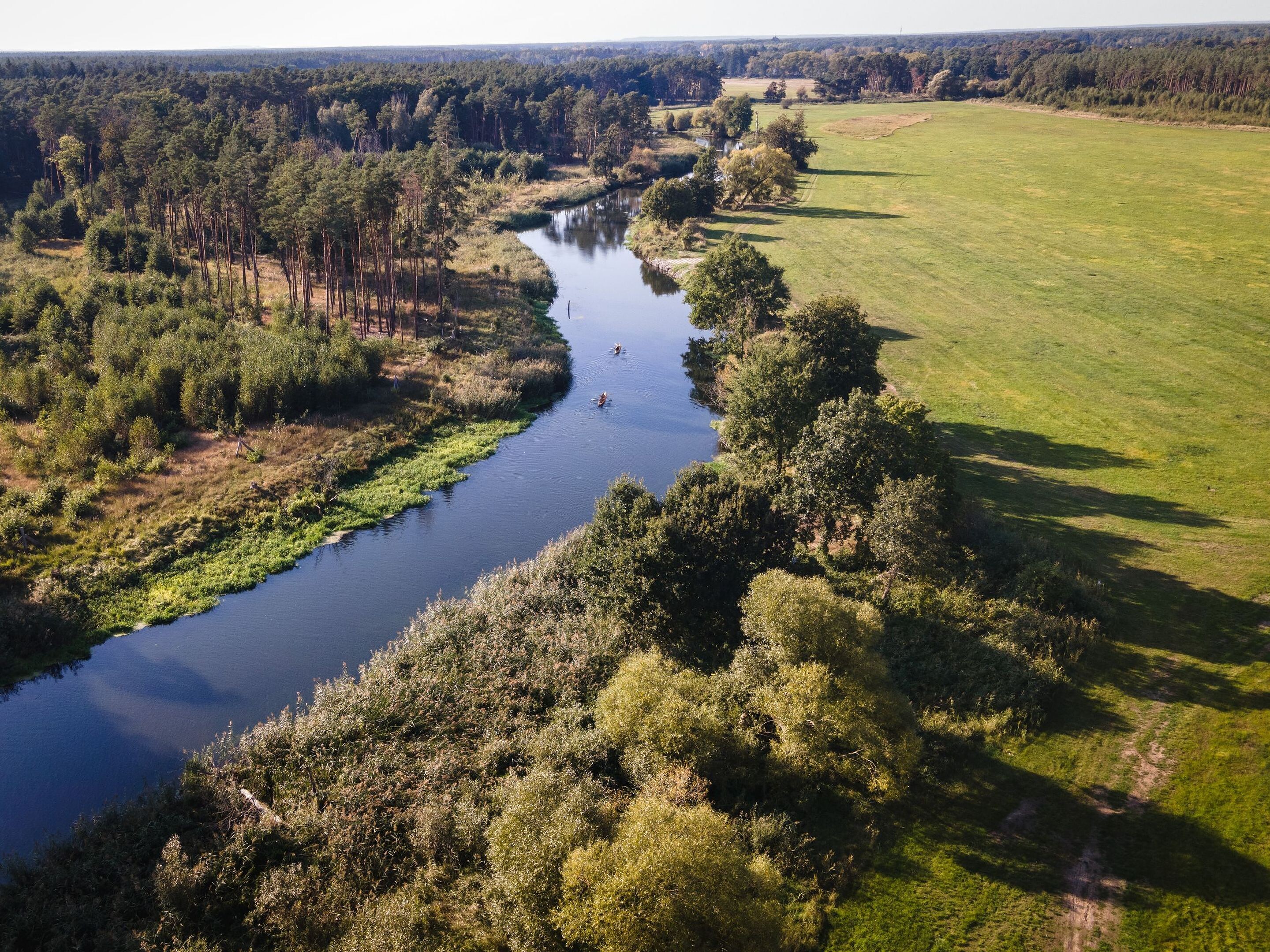
  • Müggelspree near Hangelsberg, Foto: Christoph Creutzburg, Lizenz: Seenland Oder-Spree
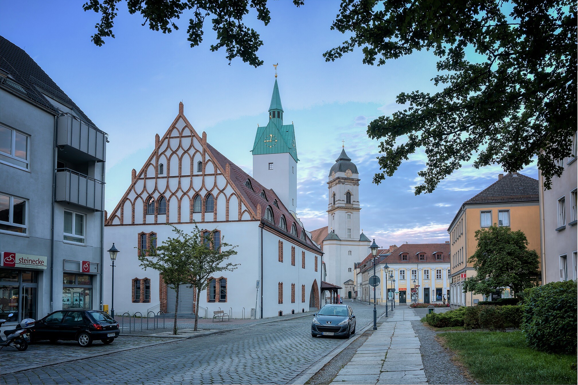
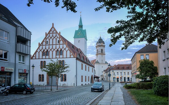
  • Fürstenwalde cathedral and old town hall, Foto: Florian Läufer, Lizenz: Seenland Oder-Spree
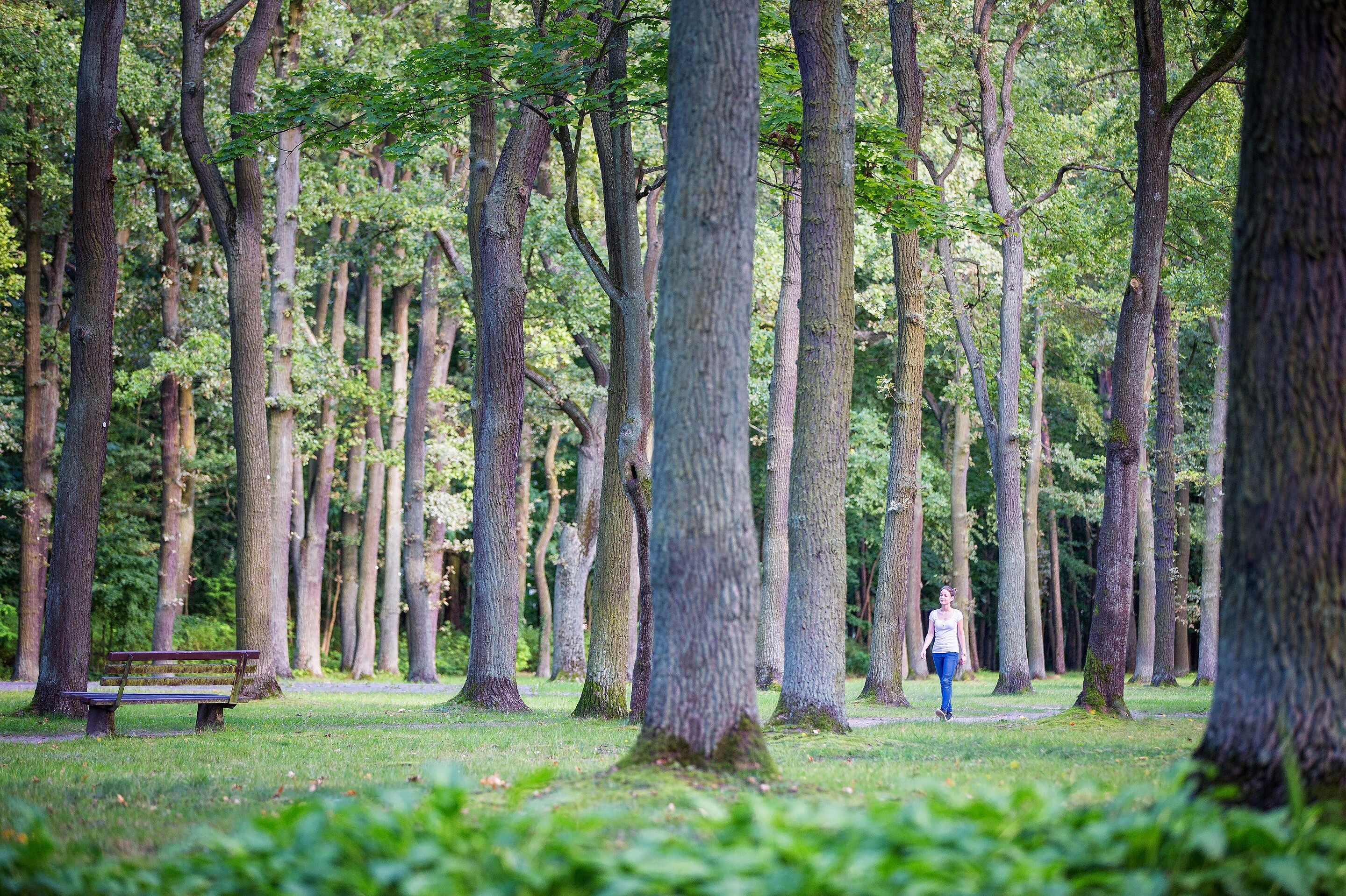
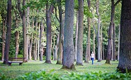
  • Fürstenwalde city park, Foto: Florian Läufer, Lizenz: Seenland Oder-Spree
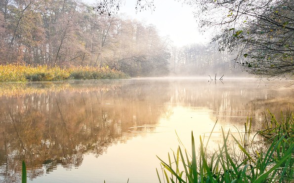
  • Spree near Fürstenwalde, Foto: Angelika Laslo, Lizenz: Seenland Oder-Spree

Along the green banks of the Spree, the route takes you from Hangelsberg to the cathedral town of Fürstenwalde. Time and again, detours through riverside meadows take you right up to the water’s edge – a delight on narrow paths, though depending on the weather, you may find the ground beneath your feet a little soggy. Vast floodplains and ancient oaks, a few bathing spots and rest areas invite you to take a breather. And if you keep your eyes open, you’ll be surprised here and there by art along the way.


Length: 14 km, duration: approx. 3:30 h

Start: Hangelsberg

Destination: Fürstenwalde

Logo / route marking: Blue point on a white background

Arrival by public transport: From Berlin main station with the RE1 (Frankfurt (Oder)) to Hangelsberg (approx. 40 min)

Departure public transport: From Fürstenwalde with the RE1 (Magdeburg) to Berlin Central Station (approx. 45 min)

Course: Hangelsberg, Große Tränke, Fürstenwalde


How to get there / Interesting facts: From Hangelsberg station, the 66 Lakes Trail leads through the village towards the outskirts. In dry weather, it’s worth taking a detour to the banks of the Spree, which flows in a wide arc around the village. You walk close to the water across meadows and narrow paths until you rejoin the 66 Lakes Trail. Beyond Hangelsberg, the trail shares the route with the Spree Cycle Path. If it has been dry for long enough, you can instead walk directly along the banks of the Spree on narrow paths in many places – closer to the river. Belts of reeds open up, and meadows and woodland stretch right down to the water’s edge.

Every now and then, sculptures and carvings adorn the path. They were installed in 2013 as part of an artists’ workshop. At the former Große Tränke lock complex, where the Oder-Spree Canal flows into the Spree, a secluded spot invites you to take a break. Afterwards, the path continues, always close to the Spree, towards Fürstenwalde. The town park, cathedral and railway station are close together and mark the end of this peaceful, relaxed stage.


Sights:


  • Bank of the Spree
  • Oder-Spree-Canal at the Große Tränke lock

  • Fürstenwalde: Heimattiergarten, St. Mary's Cathedral, brewery museum, city museum, culture factory, old town hall, remains of the city wall, lighthouse

Route characteristics / route expansion: Mixture of paved and unpaved roads

Maps / literature:

  • "66-Seen-Weg, Hikeline hiking guide", publisher: Esterbauer GmbH, edition: 3 (2019), ISBN: 978-3-85000-760-3, 11.90 euros
  • "66-Seen-Wanderung, Zu den Naturschönheiten rund um Berlin", publisher: Trescher Verlag, edition: 10. (2024), ISBN 978-3-89794-623-1, 16.95 euros


Continue readingcollapse
  • 66 lakes hiking trail break at Hangelsberg, Foto: Christoph Creutzburg, Lizenz: Seenland Oder-Spree
  • Müggelspree near Hangelsberg, Foto: Christoph Creutzburg, Lizenz: Seenland Oder-Spree
  • Müggelspree near Hangelsberg, Foto: Christoph Creutzburg, Lizenz: Seenland Oder-Spree
  • Fürstenwalde cathedral and old town hall, Foto: Florian Läufer, Lizenz: Seenland Oder-Spree
  • Fürstenwalde city park, Foto: Florian Läufer, Lizenz: Seenland Oder-Spree
  • Spree near Fürstenwalde, Foto: Angelika Laslo, Lizenz: Seenland Oder-Spree

Arrival planner

Straße der Befreiung

15537 Grünheide (Mark)

Weather Today, 26. 7.

15 27
light rain

  • Monday
    13 22
  • Tuesday
    12 22

Tourist information

Tourismusverband Seenland Oder-Spree e.V.

Ulmenstraße 15
15526 Bad Saarow

Tel.: +49 (0) 33631-868100
Fax: +49 (0) 33631-868102

Weather Today, 26. 7.

15 27
light rain

  • Monday
    13 22
  • Tuesday
    12 22

All information, times and prices are regularly checked and updated. Nevertheless, we can not guarantee the accuracy of the data. We recommend that you inquire about the current status by phone / e-mail or via the provider's website before your visit.