Address
Bahnhof
Bahnhofsvorplatz
16278 Angermünde
Bahnhofsvorplatz
16278 Angermünde
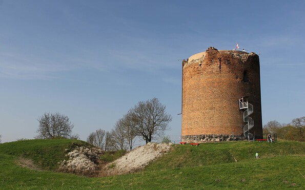
Bushaltestelle Stolpe Turm
Leonhard-von-Buch-Straße
16278 Stolpe
Leonhard-von-Buch-Straße
16278 Stolpe
tmu Tourismus Marketing Uckermark GmbH
Stettiner Straße 19
17291 Prenzlau
Stettiner Straße 19
17291 Prenzlau
This tour leads through the region: Uckermark