Hiking trail around the Tütschensee

Hiking tours
Length: 4 km
0 Ratings of 5 (0)
0
0
0
0
0
How did you like your stay? You have already rated your stay.
Length: 4 km
From €
Show availability & price

p.P. = per person, p.P./N = per person / night, p.E./N = per unit / night, EZ = Single room, DZ = double room, FeWo = holiday home, App. = apartment, Suite = suite, FR = Breakfast, HP = half board, VP = full board
At the restaurant and hotel "Schenk von Landsberg" with parking facilities and bus stop in front of the door, the circular hiking trail starts to lake Tütschensee. The lake and thze area around is a small natural monument. Past the Gesenberg, a former vineyard, the trail leads through the slightly undulating meadow landscape to a small forest area and finally to lake Tütschensee. There are several spots opening a view to the lake. After going around the lake, the route returns to the starting point. From there, a detour to the town with its pier and gastronomic offers as well as the passenger boat service from Lake Teupitz is highly recommended.
Continue readingcollapse
  • Teupitzer See, Foto: Juliane Frank, Lizenz: Tourismusverband Dahme-Seenland e.V.
  • Seebrücke Teupitz, Foto: Juliane Frank, Lizenz: Tourismusverband Dahme-Seenland e.V.
  • Teupitz Markt, Foto: Juliane Frank, Lizenz: Tourismusverband Dahme-Seenland e.V.
  • Wanderwegschild, Foto: Dana Klaus, Lizenz: Tourismusverband Dahme-Seenland e.V.
Length: 4.5 km / Duration: approx. 1.5...2.5 hours

Start / Finish: Teupitz bus stop, Station: School

Route: Bus stop Teupitz (school) - Schulweg - Tütschensee - Schwarzer Weg - Schulweg - Teupitz

Marking of the way: yellow cross on white ground

Arrival and departure:

    Public transport: bus connection from Königs Wusterhausen or Groß Köris

    Car: A13 freeway exit Teupitz (5a) in the direction of Teupitz

Places of interest:

    Tütschensee

    Teupitz with pier and church

Possible combinations:

    66-lake hiking trail

    Fontanewanderweg

    Schwerin circular hiking trail

    Mill & spring hike from Lake Teupitz to Klingespring

    Around the Nicolassee

Map recommendations:

"Dahme-Seengebiet - Topographische Freizeitkarte 1:25.000 im Sonderblattschnitt mit Wanderwegen", ISBN 978-3-7490-4078-0, Landesvermessung und Geobasisinformation Brandenburg, 7,- EURO
Continue readingcollapse
At the restaurant and hotel "Schenk von Landsberg" with parking facilities and bus stop in front of the door, the circular hiking trail starts to lake Tütschensee. The lake and thze area around is a small natural monument. Past the Gesenberg, a former vineyard, the trail leads through the slightly undulating meadow landscape to a small forest area and finally to lake Tütschensee. There are several spots opening a view to the lake. After going around the lake, the route returns to the starting point. From there, a detour to the town with its pier and gastronomic offers as well as the passenger boat service from Lake Teupitz is highly recommended.
Continue readingcollapse
  • Teupitzer See, Foto: Juliane Frank, Lizenz: Tourismusverband Dahme-Seenland e.V.
  • Seebrücke Teupitz, Foto: Juliane Frank, Lizenz: Tourismusverband Dahme-Seenland e.V.
  • Teupitz Markt, Foto: Juliane Frank, Lizenz: Tourismusverband Dahme-Seenland e.V.
Length: 4.5 km / Duration: approx. 1.5...2.5 hours

Start / Finish: Teupitz bus stop, Station: School

Route: Bus stop Teupitz (school) - Schulweg - Tütschensee - Schwarzer Weg - Schulweg - Teupitz

Marking of the way: yellow cross on white ground

Arrival and departure:

    Public transport: bus connection from Königs Wusterhausen or Groß Köris

    Car: A13 freeway exit Teupitz (5a) in the direction of Teupitz

Places of interest:

    Tütschensee

    Teupitz with pier and church

Possible combinations:

    66-lake hiking trail

    Fontanewanderweg

    Schwerin circular hiking trail

    Mill & spring hike from Lake Teupitz to Klingespring

    Around the Nicolassee

Map recommendations:

"Dahme-Seengebiet - Topographische Freizeitkarte 1:25.000 im Sonderblattschnitt mit Wanderwegen", ISBN 978-3-7490-4078-0, Landesvermessung und Geobasisinformation Brandenburg, 7,- EURO
Continue readingcollapse

Arrival planner

Lindenstraße 5

15755 Teupitz

Weather Today, 6. 5.

10 18
clear sky

  • Tuesday
    7 14
  • Wednesday
    8 18

Brochures

Tourist information

Tourismusverband Dahme Seenland e.V.

Bahnhofsvorplatz 5
15711 Königs Wusterhausen
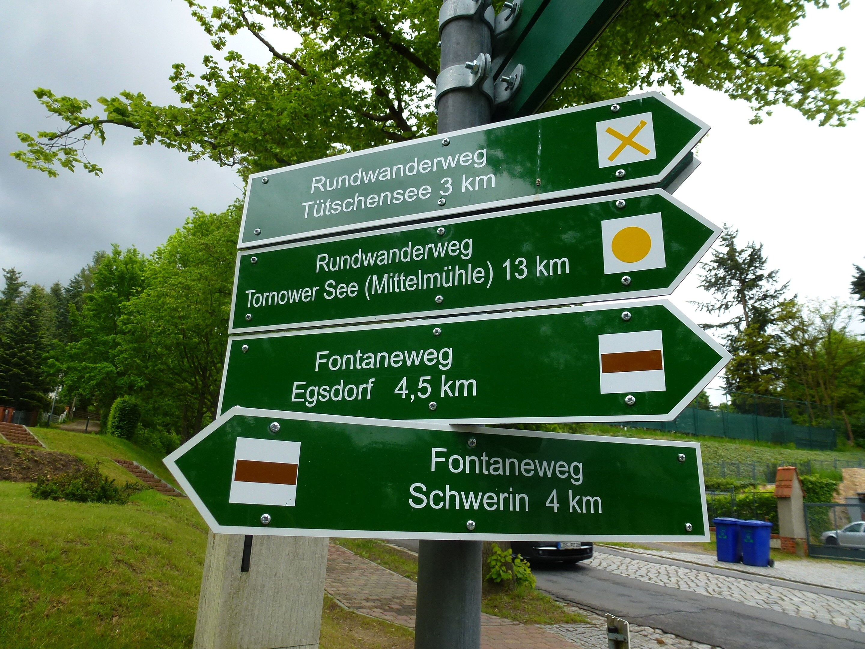
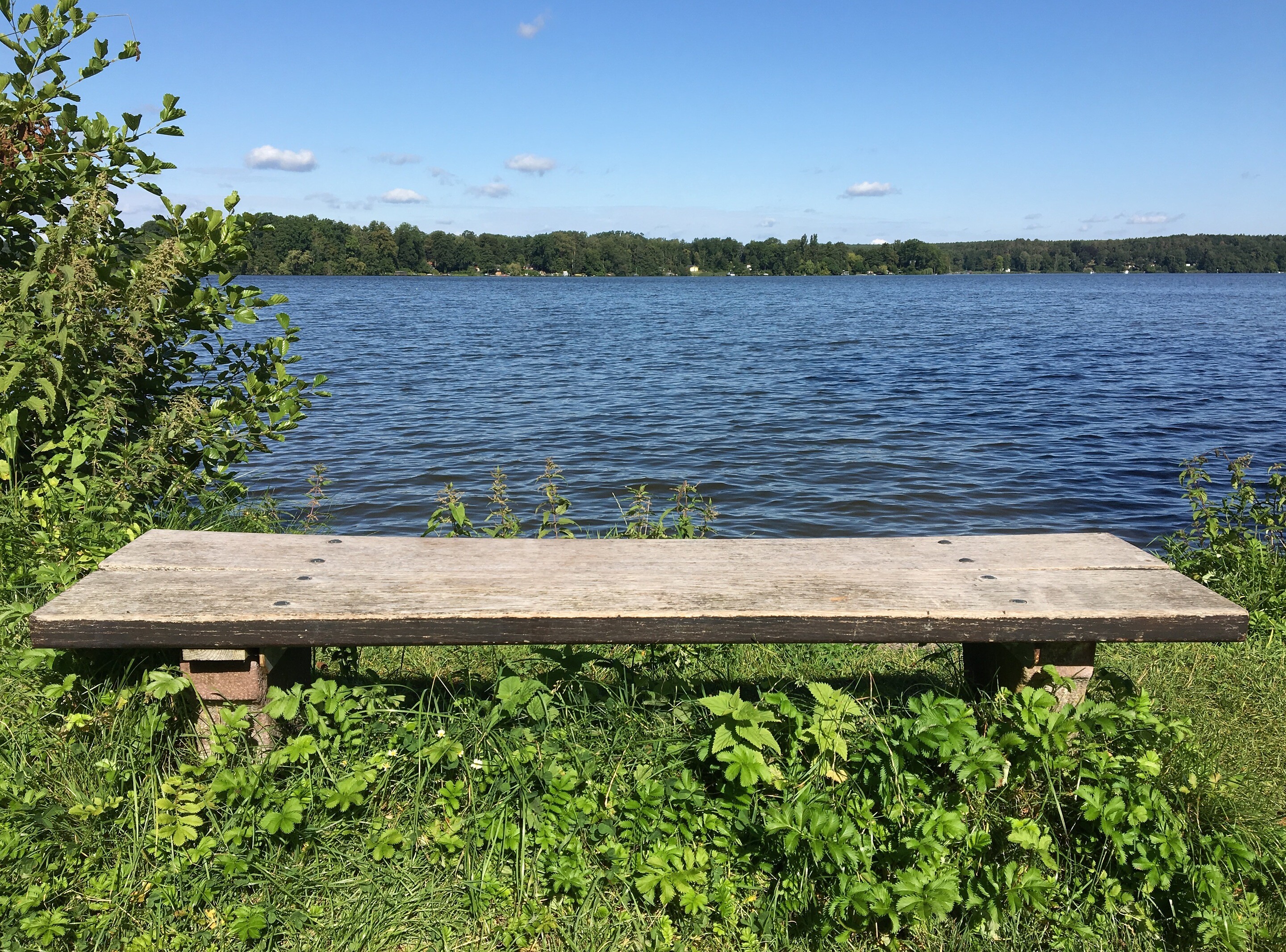
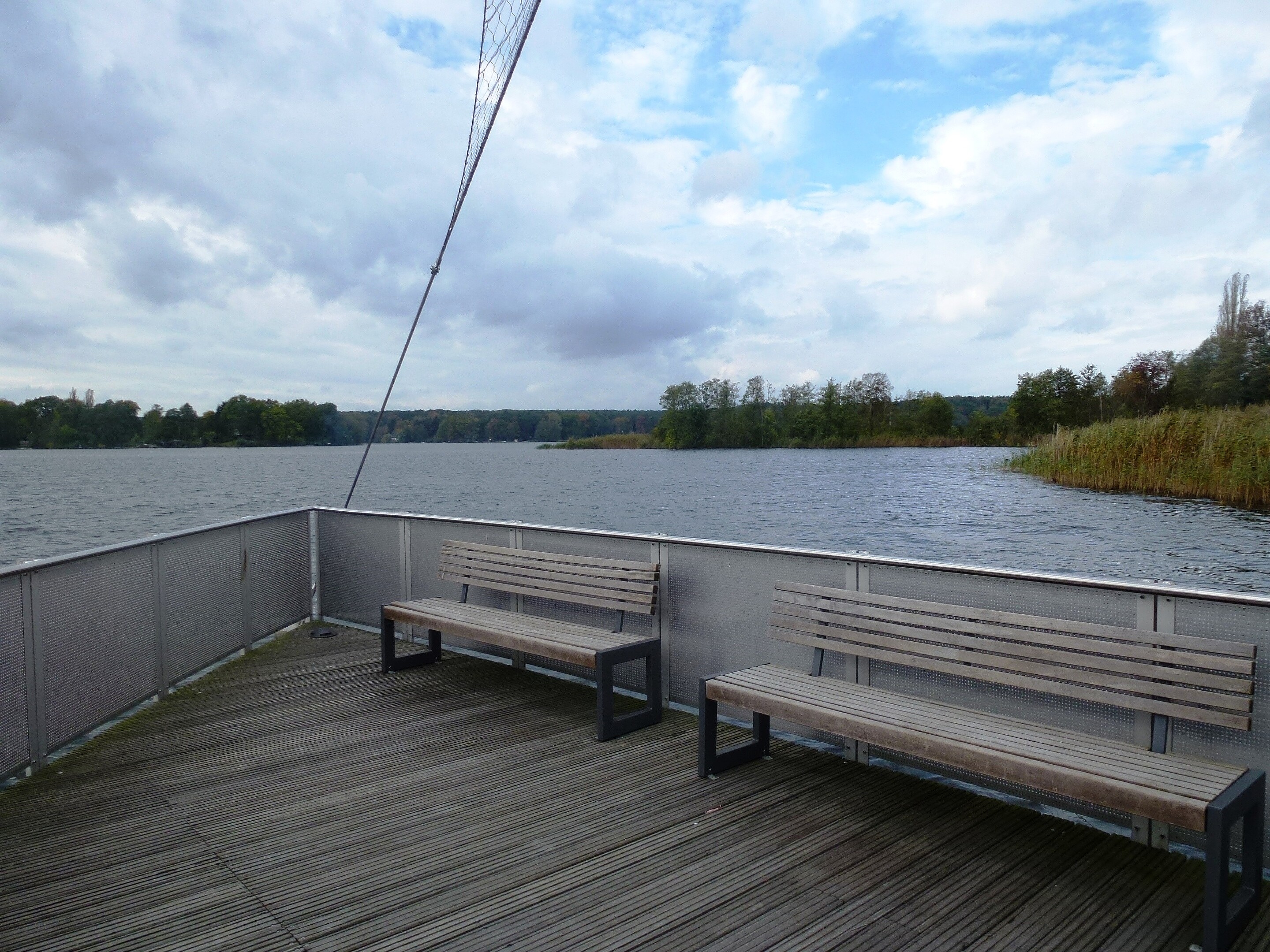
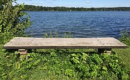
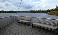
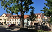
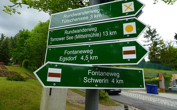
Tel.: +49 (0) 3375-252025

Weather Today, 6. 5.

10 18
clear sky

  • Tuesday
    7 14
  • Wednesday
    8 18

All information, times and prices are regularly checked and updated. Nevertheless, we can not guarantee the accuracy of the data. We recommend that you inquire about the current status by phone / e-mail or via the provider's website before your visit.

(+49) +49(0)331 2004747​ We are available for you via telephone: weekdays Mon – Fri 9 am – 1 pm and Oct. 31 from 9 am – 1 pm.

Thank you for your enquiry!

In case your enquiry did not result in a booking, we will be getting in touch with you as quickly as possible during our service hours from Monday to Friday from 9 a.m. - 6 p.m.

We are also glad to answer all of your questions surrounding the State of Brandenburg at (+49)(0)331- 200 47 47. Please send us an e-mail at service@reiseland-brandenburg.de.

Your information and travel agency service Brandenburg

Your request was not successful!

Please try again later. Thank you.

Your information and travel agency service Brandenburg

Online booking


Thank you for visiting www.brandenburg-tourism.com

This website has been developed with the latest technology. Unfortunately, you are using a browser that does not meet the latest technical requirements.

We therefore ask you to use an alternative browser (E.g. Google Chrome, Firefox or Edge) and we hope you enjoy browsing our website.