Address
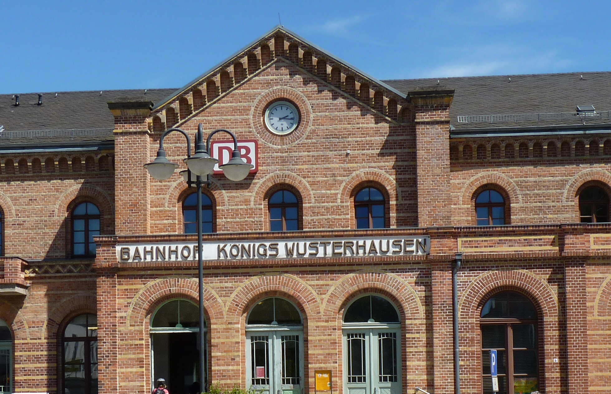
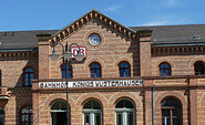
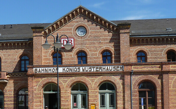
Bahnhof Königs Wusterhausen
Bahnhofsvorplatz
15711 Königs Wusterhausen
Bahnhofsvorplatz
15711 Königs Wusterhausen
Bahnhof Rangsdorf
Am Bahnhof
15834 Rangsdorf
Am Bahnhof
15834 Rangsdorf
Touristinformation Dahme-Seenland
Bahnhofsvorplatz 5
15711 Königs Wusterhausen
Bahnhofsvorplatz 5
15711 Königs Wusterhausen
This tour leads through the region: Dahme-Seenland