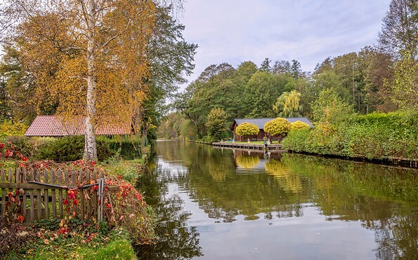




Paul-Gerhardt Path

Hiking tours
Length: 140 km
0 Ratings of 5 (0)
0
0
0
0
0
How did you like your stay? You have already rated your stay.
Hiking tours
Length: 140 km
From €
Show availability & price

p.P. = per person, p.P./N = per person / night, p.E./N = per unit / night, EZ = Single room, DZ = double room, FeWo = holiday home, App. = apartment, Suite = suite, FR = Breakfast, HP = half board, VP = full board
The Paul Gerhardt Trail combines nature, culture, and history as it follows in the footsteps of the hymn writer Paul Gerhardt. The hiking route leads from Berlin through the diverse landscapes of Brandenburg and connects places associated with his life and work. Along the way, nature trails, picturesque lake landscapes, and cultural attractions alternate. This allows you to discover the region step by step—from the big city out into the countryside. The trail invites you to experience history, consciously appreciate the landscape, and explore the diversity between Berlin and Brandenburg over several stages.
Continue readingcollapse
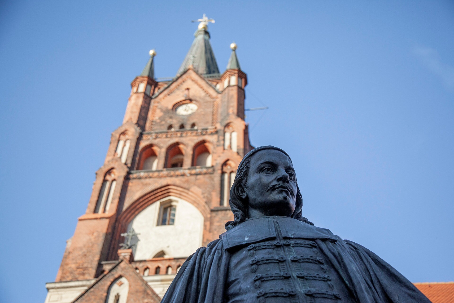
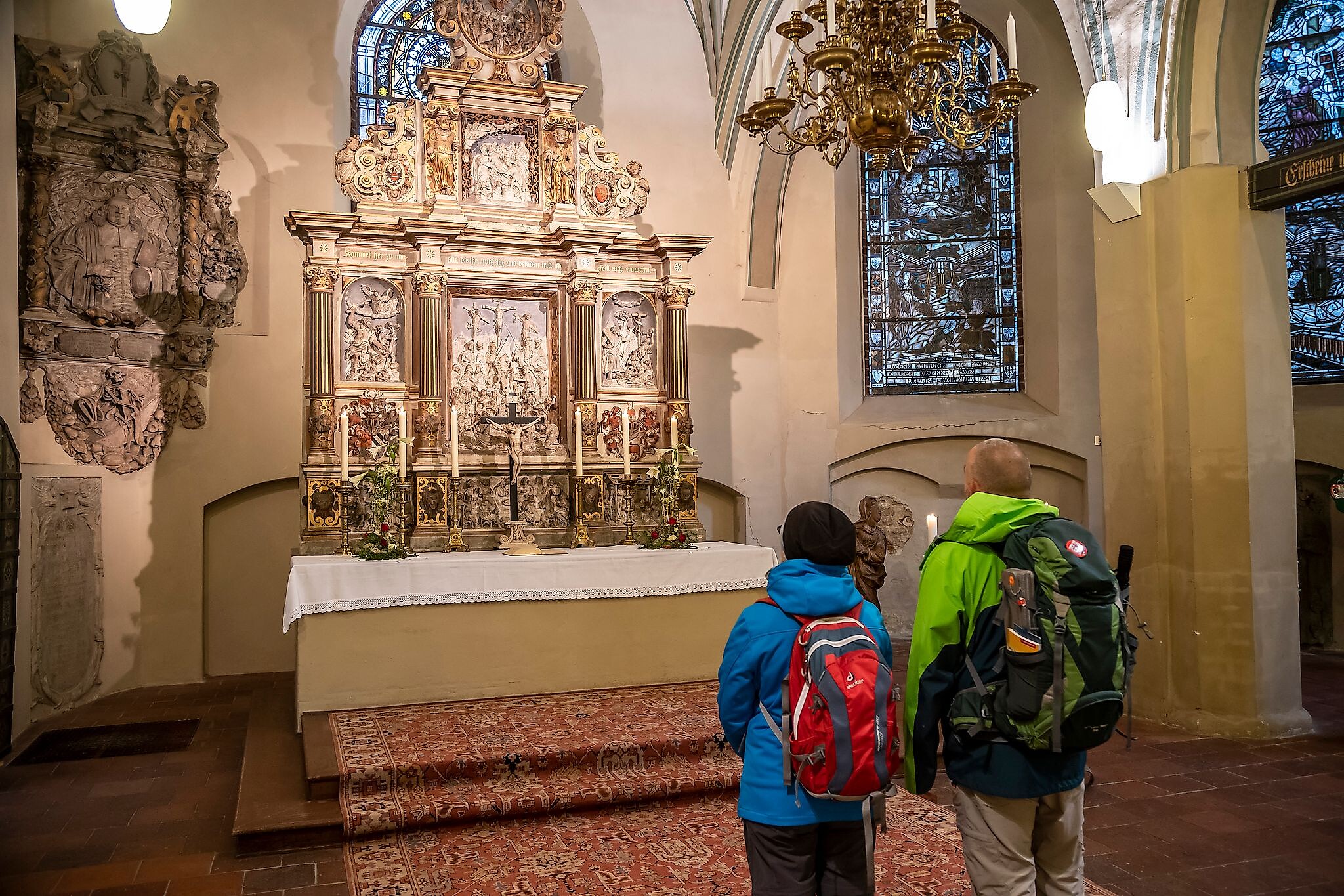
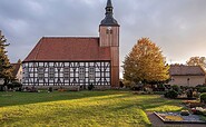
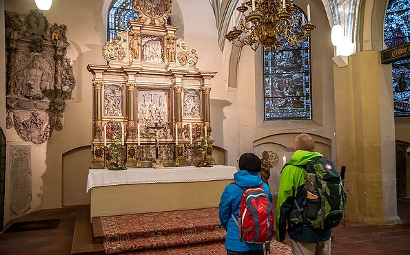
Church Lübben, Foto: Michael Zalewski, Lizenz: Landkreis Dahme-Spreewald
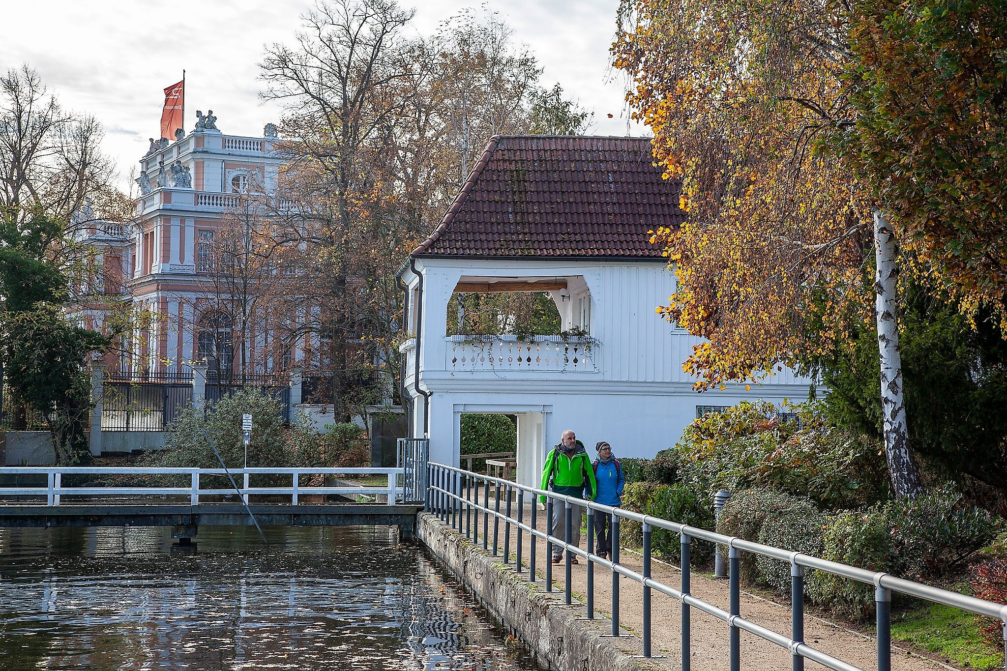
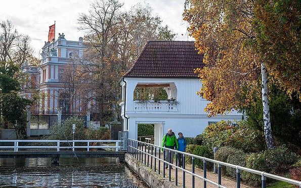
Promenade Zeuthen, Foto: Michael Zalewski, Lizenz: Landkreis Dahme-Spreewald
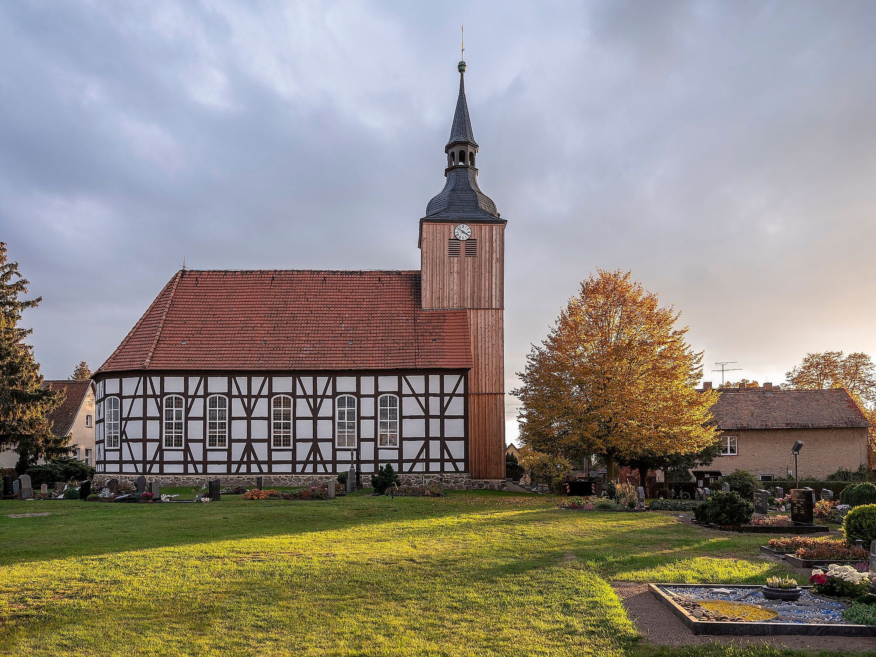
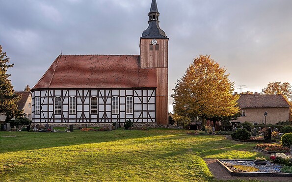
Church Schlepzig, Foto: Michael Zalewski, Lizenz: Landkreis Dahme-Spreewald
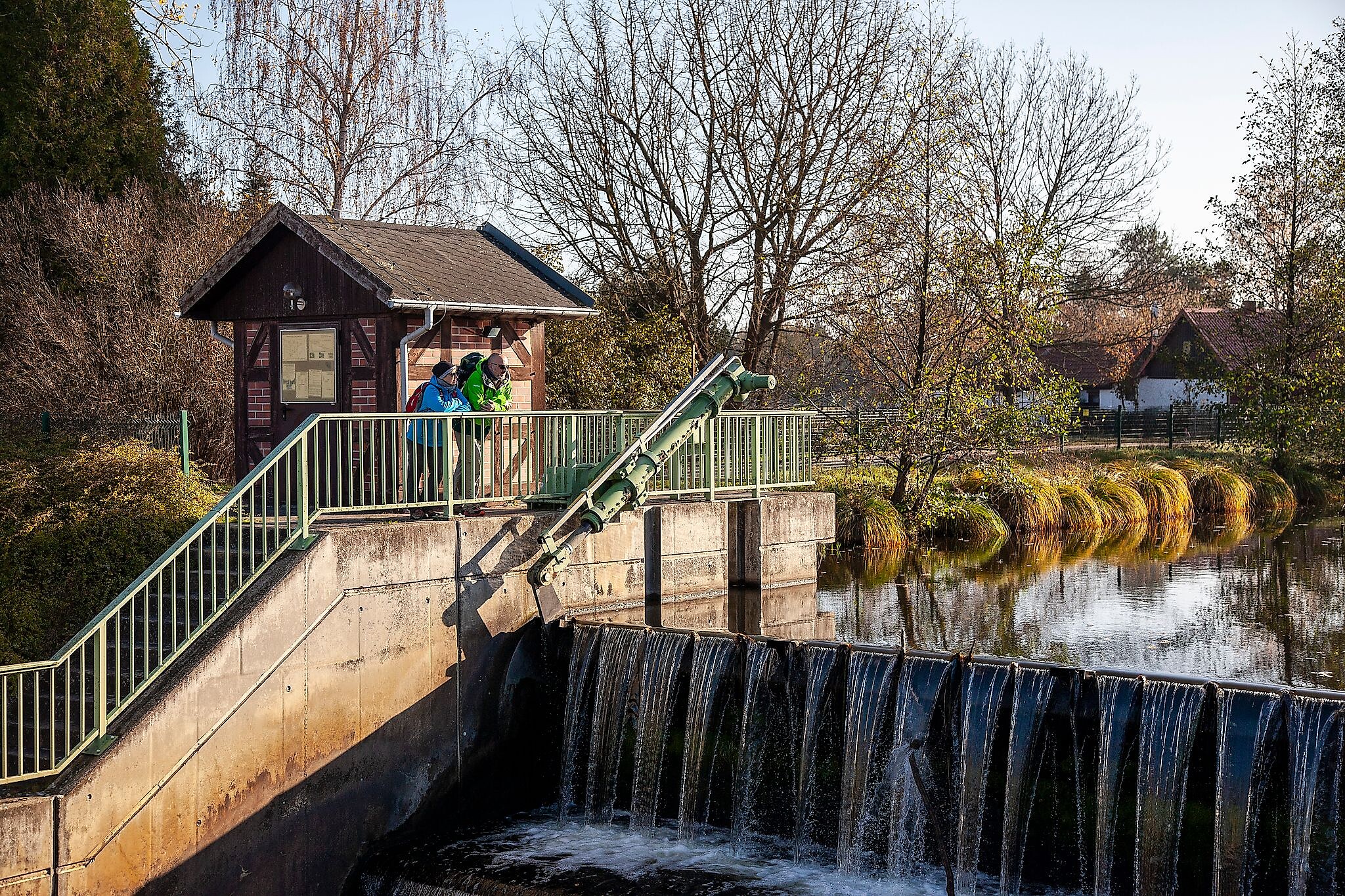
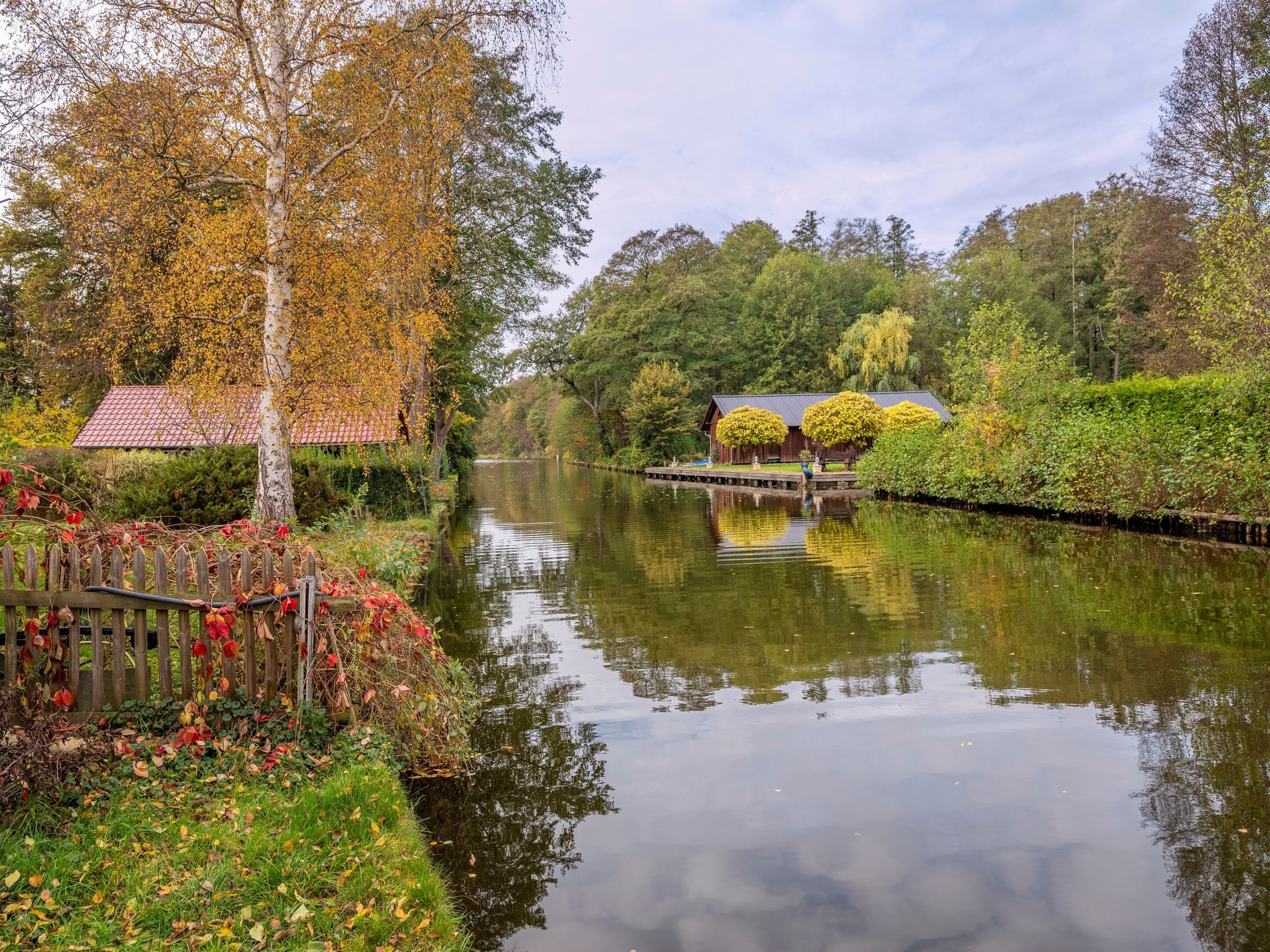
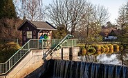
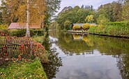
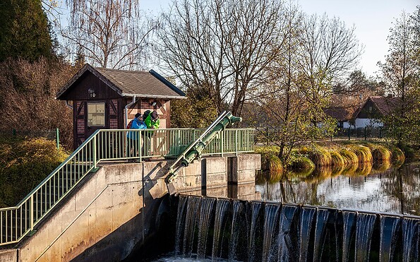
Cascade weir, Foto: Michael Zalewski, Lizenz: Landkreis Dahme-Spreewald
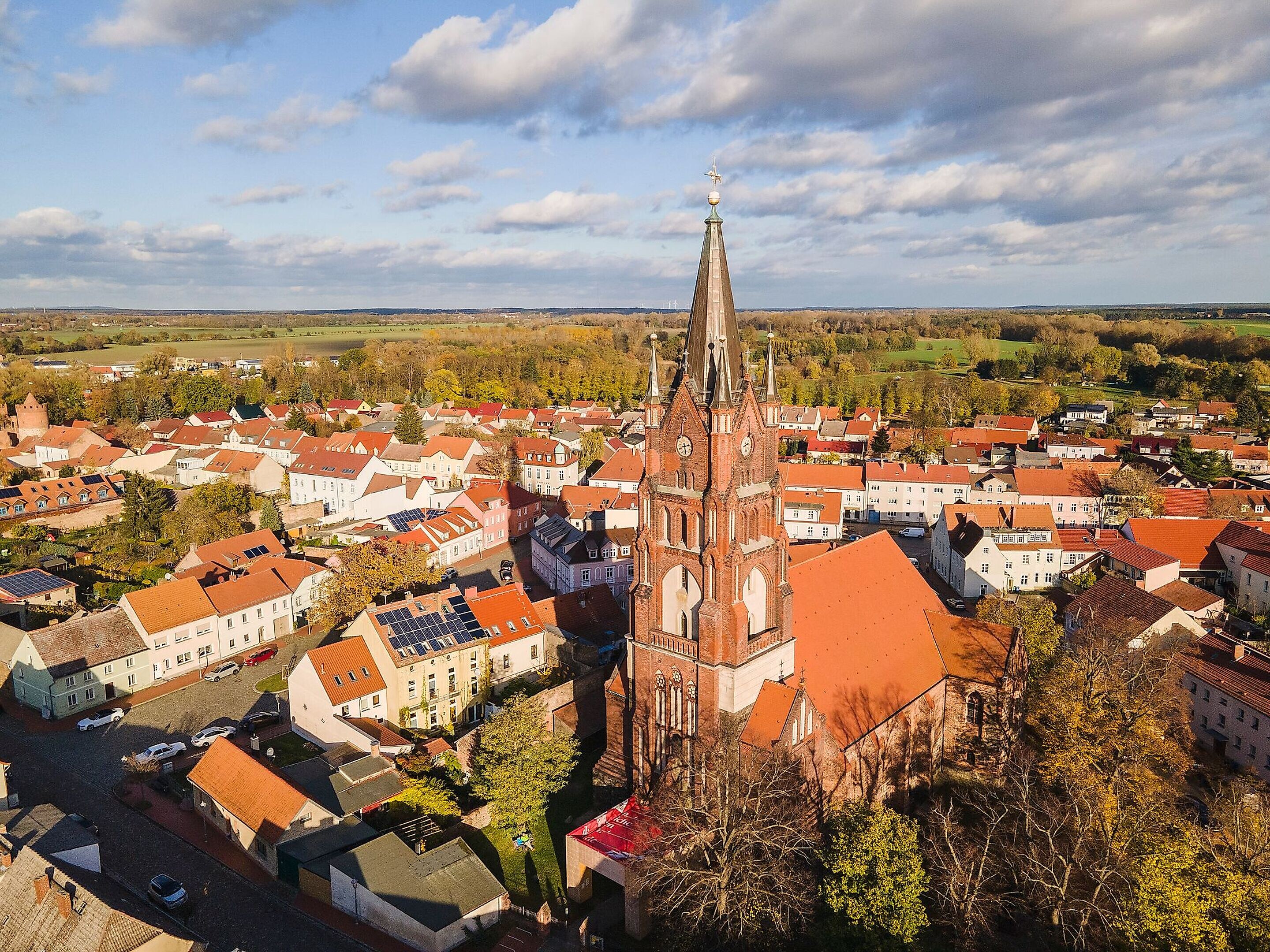
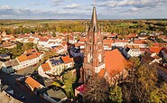
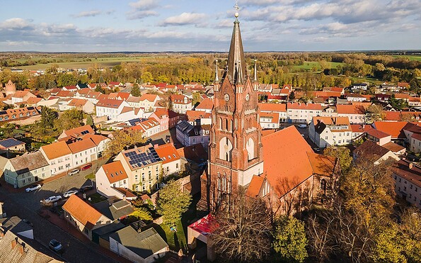
Aerial view of Mittenwalde, Foto: Michael Zalewski, Lizenz: Landkreis Dahme-Spreewald
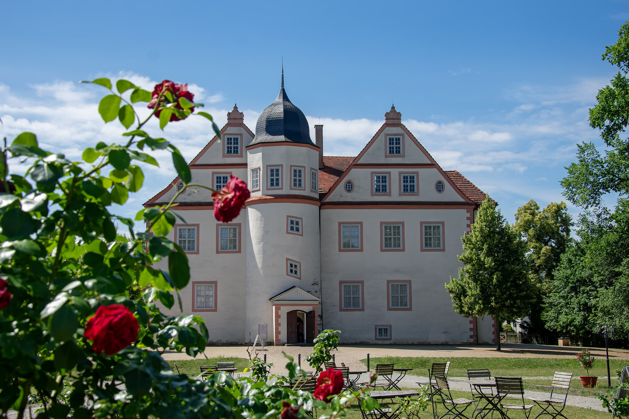
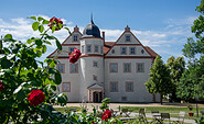
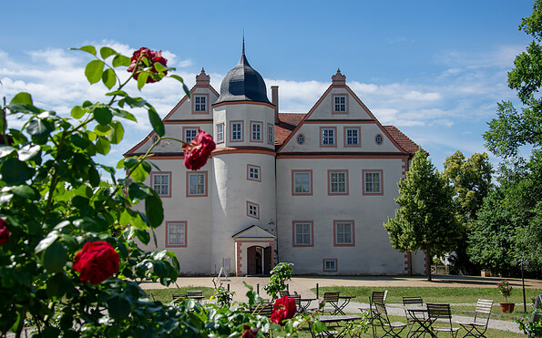
Palace Königs Wusterhausen, Foto: Sandra Fonarob, Lizenz: Tourismusverband Dahme-Seenland e.V.
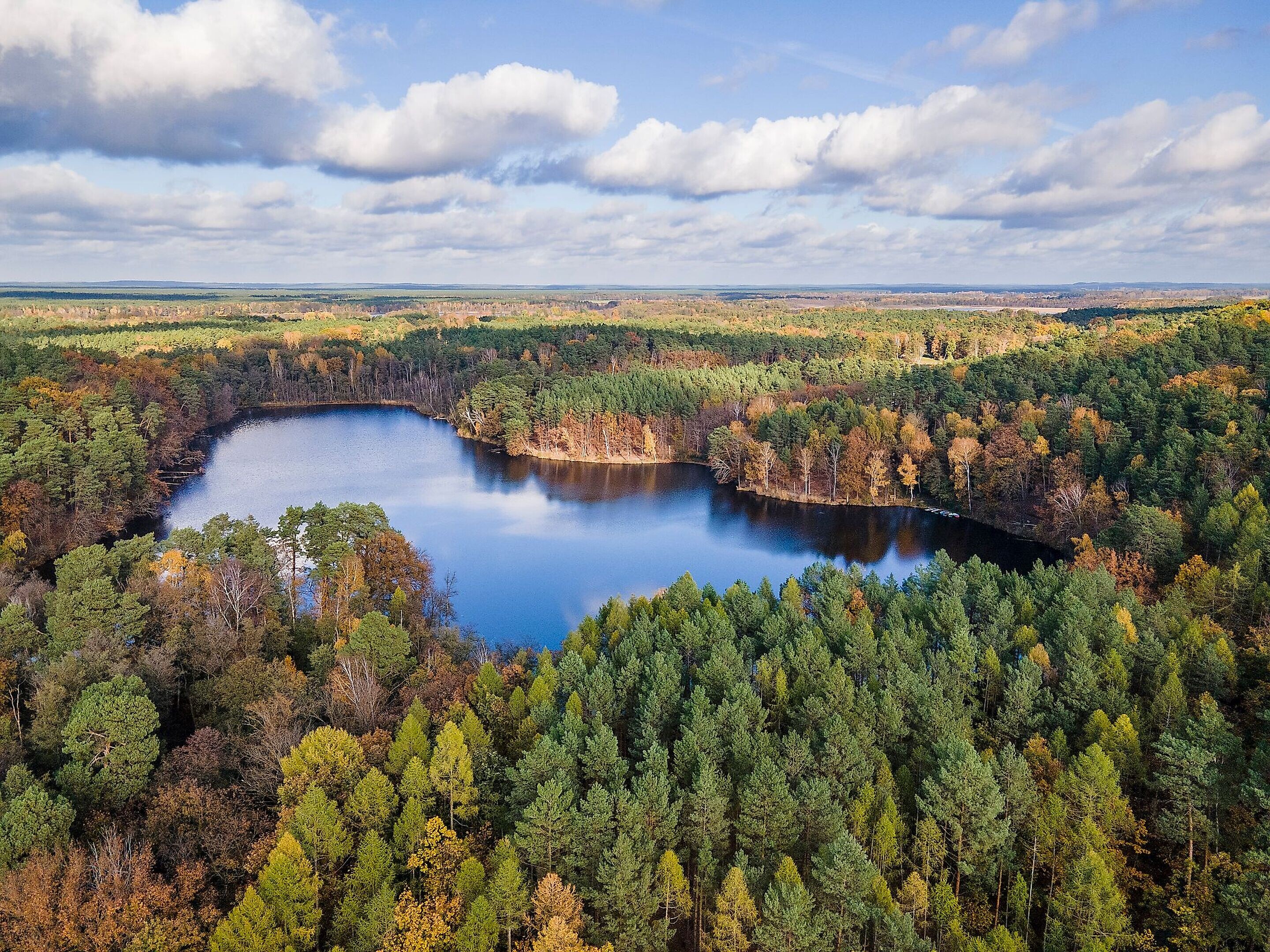
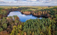
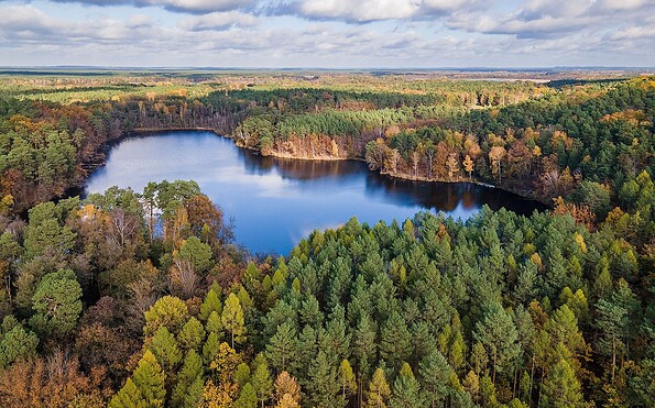
The Köthen Heath Lakes, Foto: Michael Zalewski, Lizenz: Landkreis Dahme-Spreewald
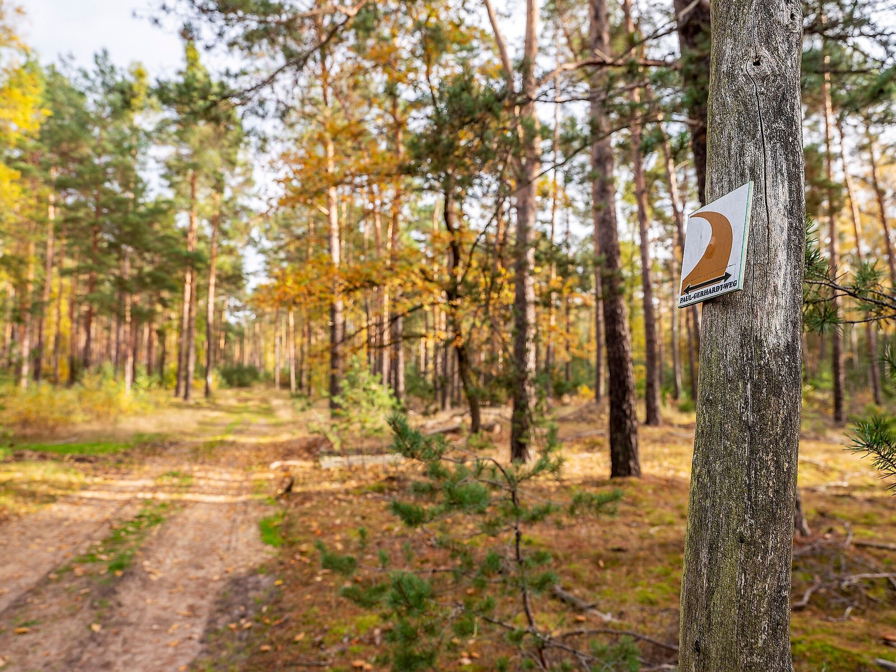
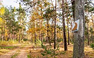
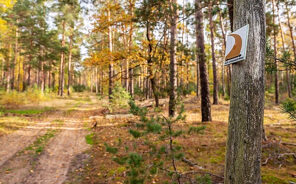
Forest path, Foto: Michael Zalewski, Lizenz: Landkreis Dahme-Spreewald
Foto: Michael Zalewski, Lizenz: Landkreis Dahme-Spreewald
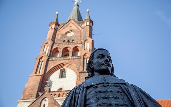
Church Mittenwalde, Foto: Michael Zalewski, Lizenz: Landkreis Dahme-Spreewald
The Paul Gerhardt Trail is divided into nine stages, which can be planned individually and hiked one at a time. The starting and ending points are easily accessible by public transportation or car. This allows for flexible planning—whether as a multi-day hike or spread out over individual day trips.

Length (duration): 140 kilometres (about 7 days)

Start/finish: Berlin/Lübben (Spreewald)

Route sign: Signets and hiking signs of the Paul-Gerhardt path

Route: 

The Paul-Gerhardt path is full of contrasts and the perfect combination of nature and culture. You will leave behind the hustle and bustle of Berlin and experience the picturesque Dahme-Seenland region along rivers, lakes and through quiet countryside into the Spreewald Biosphere Reserve. You will have the chance to get to know in detail a wealth of scenic attractions and historical places and take breaks in small towns and villages.

Trail conditions: 

Very varied and full of contrasts, from pavements to forest and other natural ground with different characteristics. This path is for hikers only and is not suitable for bicycle tours.

Points of interest along the route:

Stunning landscapes, impressive churches, interesting museums and lots of nature.

By public transport: Buses and trains 

Getting there by car:

Within Berlin, the car is not the best option because there are very few parking spaces and parking fees can be high. Places outside Berlin are easier to reach by car, and often you can park for free.

Recommended maps/Literature:
  • Reschke, Manfred: Paul-Gerhardt-Weg “Natur und Kultur zwischen Berlin und Spreewald”, Trescher-Verlag; 1. Auflage 2017, 168 Seiten, 80 Fotos, 25 Karten und Stadtpläne, farbige Klappkarten, ISBN 978-3-89794-354-4, https://www.trescher-verlag.de/reisefuehrer/deutschland/paul-gerhardt-weg.html


Find inspiration in the diary specifically published for this trail. The tourist information centres along the way give you hiking stickers for each completed stage, which you can stick in your diary. They also give you song sheets of the poet’s most famous songs. The diary and other Paul-Gerhardt path merchandise can be purchased from the leading tourist information centres along the route. You can find an overview of all souvenirs of the Paul-Gerhardt path here.

Possible combinations/connection to other hiking trails:

Various circular routes in the individual sections and regions, which are described in detail in the hiking guide by Manfred Reschke. The individual stage descriptions refer to these circular trails.
Continue readingcollapse
The Paul Gerhardt Trail combines nature, culture, and history as it follows in the footsteps of the hymn writer Paul Gerhardt. The hiking route leads from Berlin through the diverse landscapes of Brandenburg and connects places associated with his life and work. Along the way, nature trails, picturesque lake landscapes, and cultural attractions alternate. This allows you to discover the region step by step—from the big city out into the countryside. The trail invites you to experience history, consciously appreciate the landscape, and explore the diversity between Berlin and Brandenburg over several stages.
Continue readingcollapse
Church Lübben, Foto: Michael Zalewski, Lizenz: Landkreis Dahme-Spreewald
Promenade Zeuthen, Foto: Michael Zalewski, Lizenz: Landkreis Dahme-Spreewald
Church Schlepzig, Foto: Michael Zalewski, Lizenz: Landkreis Dahme-Spreewald
Cascade weir, Foto: Michael Zalewski, Lizenz: Landkreis Dahme-Spreewald
Aerial view of Mittenwalde, Foto: Michael Zalewski, Lizenz: Landkreis Dahme-Spreewald
Palace Königs Wusterhausen, Foto: Sandra Fonarob, Lizenz: Tourismusverband Dahme-Seenland e.V.
The Köthen Heath Lakes, Foto: Michael Zalewski, Lizenz: Landkreis Dahme-Spreewald
Forest path, Foto: Michael Zalewski, Lizenz: Landkreis Dahme-Spreewald
Foto: Michael Zalewski, Lizenz: Landkreis Dahme-Spreewald
Church Mittenwalde, Foto: Michael Zalewski, Lizenz: Landkreis Dahme-Spreewald
The Paul Gerhardt Trail is divided into nine stages, which can be planned individually and hiked one at a time. The starting and ending points are easily accessible by public transportation or car. This allows for flexible planning—whether as a multi-day hike or spread out over individual day trips.

Length (duration): 140 kilometres (about 7 days)

Start/finish: Berlin/Lübben (Spreewald)

Route sign: Signets and hiking signs of the Paul-Gerhardt path

Route: 

The Paul-Gerhardt path is full of contrasts and the perfect combination of nature and culture. You will leave behind the hustle and bustle of Berlin and experience the picturesque Dahme-Seenland region along rivers, lakes and through quiet countryside into the Spreewald Biosphere Reserve. You will have the chance to get to know in detail a wealth of scenic attractions and historical places and take breaks in small towns and villages.

Trail conditions: 

Very varied and full of contrasts, from pavements to forest and other natural ground with different characteristics. This path is for hikers only and is not suitable for bicycle tours.

Points of interest along the route:

Stunning landscapes, impressive churches, interesting museums and lots of nature.

By public transport: Buses and trains 

Getting there by car:

Within Berlin, the car is not the best option because there are very few parking spaces and parking fees can be high. Places outside Berlin are easier to reach by car, and often you can park for free.

Recommended maps/Literature:
  • Reschke, Manfred: Paul-Gerhardt-Weg “Natur und Kultur zwischen Berlin und Spreewald”, Trescher-Verlag; 1. Auflage 2017, 168 Seiten, 80 Fotos, 25 Karten und Stadtpläne, farbige Klappkarten, ISBN 978-3-89794-354-4, https://www.trescher-verlag.de/reisefuehrer/deutschland/paul-gerhardt-weg.html


Find inspiration in the diary specifically published for this trail. The tourist information centres along the way give you hiking stickers for each completed stage, which you can stick in your diary. They also give you song sheets of the poet’s most famous songs. The diary and other Paul-Gerhardt path merchandise can be purchased from the leading tourist information centres along the route. You can find an overview of all souvenirs of the Paul-Gerhardt path here.

Possible combinations/connection to other hiking trails:

Various circular routes in the individual sections and regions, which are described in detail in the hiking guide by Manfred Reschke. The individual stage descriptions refer to these circular trails.
Continue readingcollapse

Arrival planner

⋮

Nikolaikirchplatz

10178 Berlin

Weather Today, 6. 11.

-0 7
overcast clouds

  • Saturday
    1 9
  • Sunday
    0 8

Tourist information

Tourismusverband Dahme Seenland e.V.

Bahnhofsvorplatz 5
15711 Königs Wusterhausen

Tel.: +49 (0) 3375-252025

Weather Today, 6. 11.

-0 7
overcast clouds

  • Saturday
    1 9
  • Sunday
    0 8

All information, times and prices are regularly checked and updated. Nevertheless, we can not guarantee the accuracy of the data. We recommend that you inquire about the current status by phone / e-mail or via the provider's website before your visit.

Call the TMB holiday hotline at +49 (0)331-200 47 47 +49(0)331 2004747​ We are available for you via telephone: weekdays Mon – Fri 9 am – 1 pm and Oct. 31 from 9 am – 1 pm.
Online booking

Thank you for visiting www.brandenburg-tourism.com

This website has been developed with the latest technology. Unfortunately, you are using a browser that does not meet the latest technical requirements.

We therefore ask you to use an alternative browser (E.g. Google Chrome, Firefox or Edge) and we hope you enjoy browsing our website.

Logo www.brandenburg-tourism.com