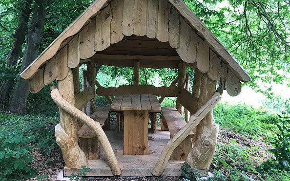
Address
06889
Kropstädt OT Wüstemark
06889
Kropstädt OT Wüstemark
06889
Kropstädt OT Wüstemark
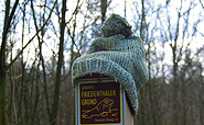
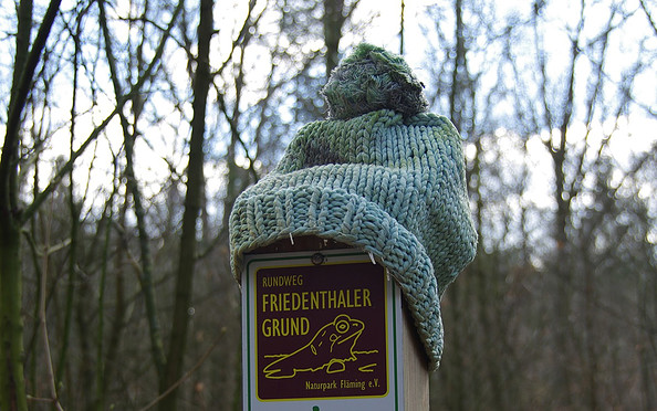
This tour leads through the region: Fläming