Address
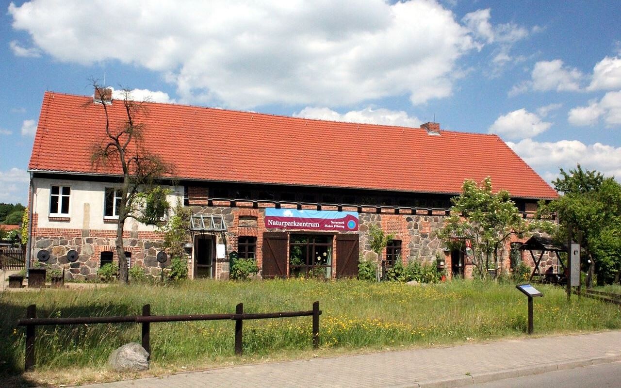
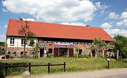
Naturparkzentrum Hoher Fläming
Brennereistraße 45
14823 Raben
Brennereistraße 45
14823 Raben
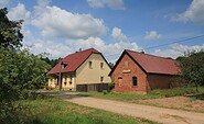
Naturparkzentrum Hoher Fläming
Brennereistraße 45
14823 Raben
Brennereistraße 45
14823 Raben
Naturparkzentrum Hoher Fläming
Brennereiweg 45
14823 Rabenstein/Fläming OT Raben
Brennereiweg 45
14823 Rabenstein/Fläming OT Raben
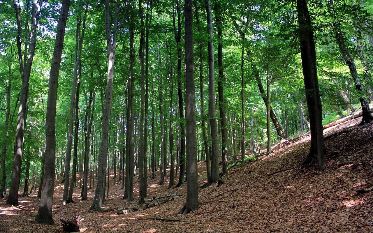
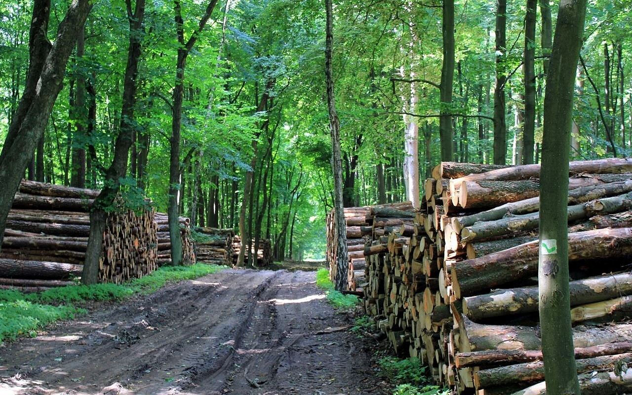
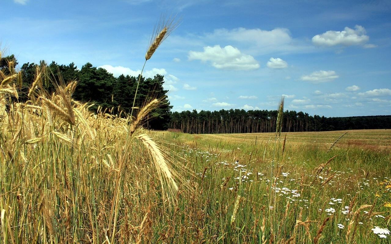
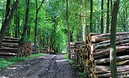
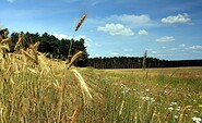
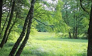
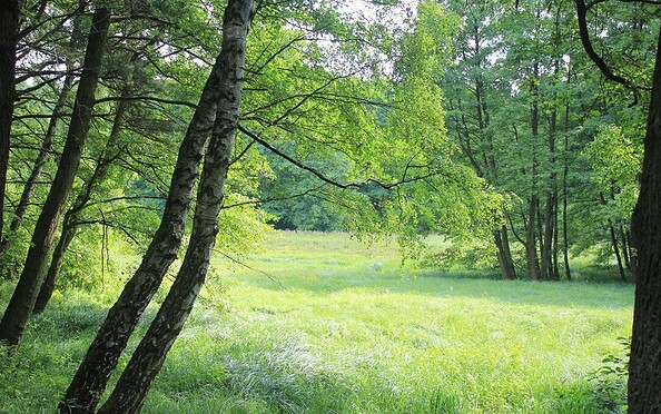
This tour leads through the region: Fläming