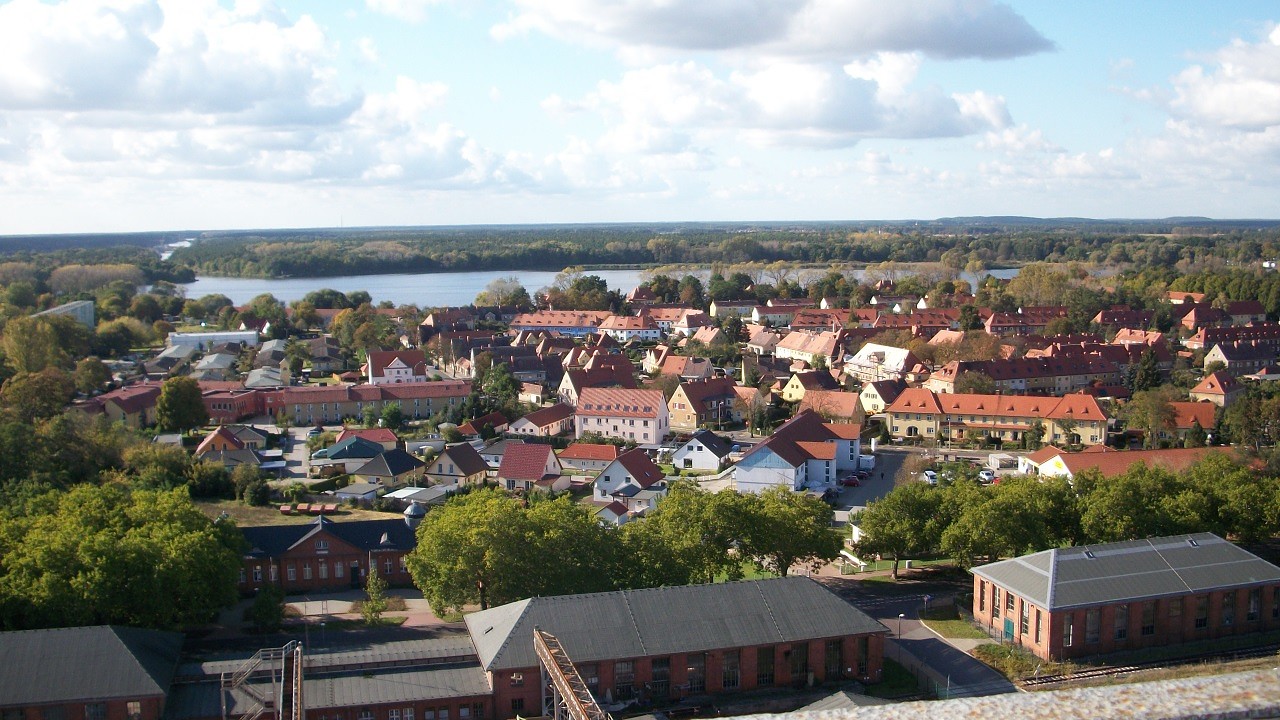
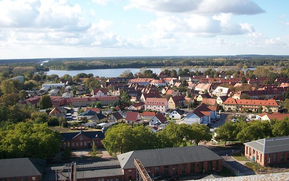
Address
Kirchmöser
Bahnhofsstraße 32
14774 Kirchmöser
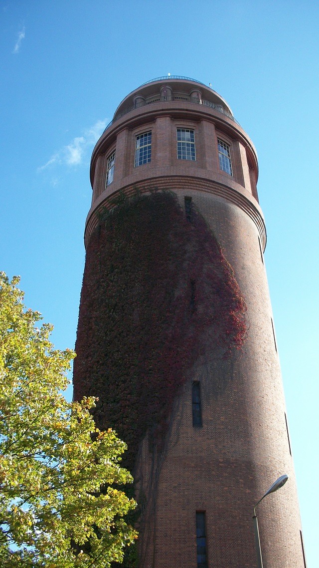
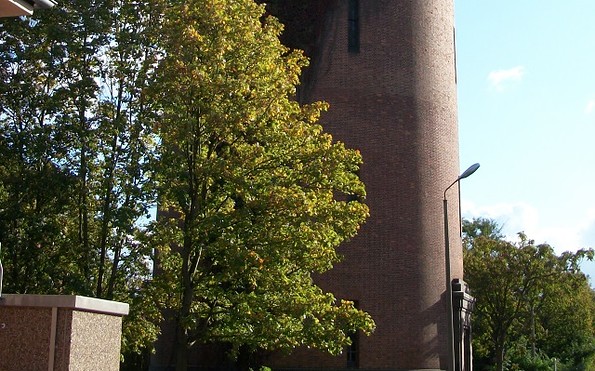
Bahnhofsstraße 32
14774 Kirchmöser
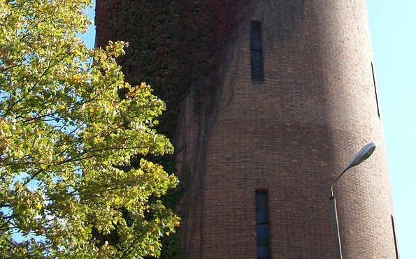
Kirchmöser
Bahnhofsstraße 32
14774 Kirchmöser
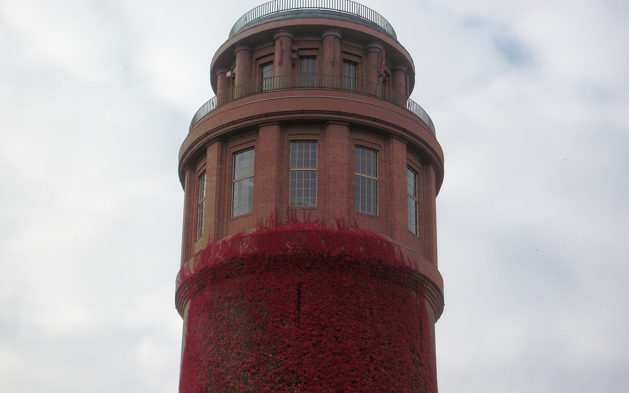
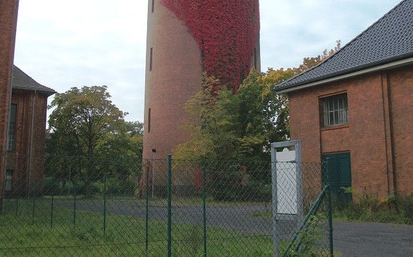
Bahnhofsstraße 32
14774 Kirchmöser
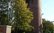
Am Seegarten
14774 Brandenburg an der Havel
14774 Brandenburg an der Havel
This tour leads through the region: Havelland