Address
Steinitzhof Drebkau
Steinitzer Dorfstraße 1
03116 Steinitz
Steinitzer Dorfstraße 1
03116 Steinitz
Steinitzhof Drebkau
Steinitzer Dorfstraße 1
03116 Steinitz
Steinitzer Dorfstraße 1
03116 Steinitz
Steinitzer Dorfstraße 1
03116 Steinitz
03116 Steinitz
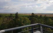
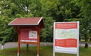
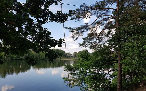
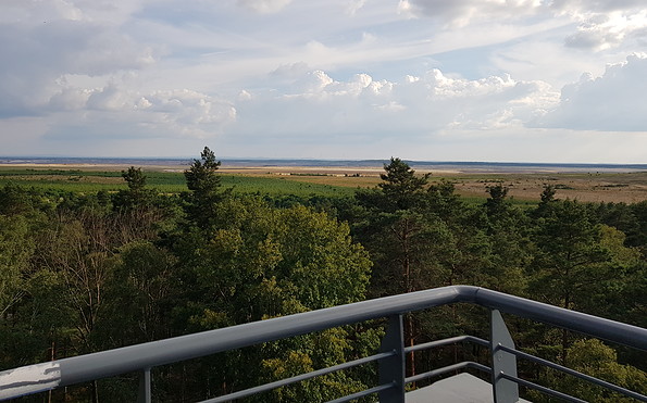
This tour leads through the region: Lausitzer Seenland