Hiking around Hegensteinbach Stream

Hiking tours
Length: 5 km
0 Ratings of 5 (0)
0
0
0
0
0
How did you like your stay? You have already rated your stay.
Length: 5 km
From €
Show availability & price

p.P. = per person, p.P./N = per person / night, p.E./N = per unit / night, EZ = Single room, DZ = double room, FeWo = holiday home, App. = apartment, Suite = suite, FR = Breakfast, HP = half board, VP = full board
A hike along the Hegensteinbach stream gives you the opportunity to be outdoors on foot on the edge of the waterside town of Fürstenberg/Havel. Upon close observation, you can see that the beavers in this area really do carry out a lot of work. Display panels provide information on the biotope’s flora and fauna. Since 2013, it has once again been possible to complete the round trail as a dilapidated bridge has been renovated. Hikers should plan about two hours for this outing in unspoilt natural surroundings.
Continue readingcollapse
  • Wanderung um den Hegensteinbach, Foto: TI Fürstenberg/Havel, Lizenz: TI Fürstenberg/Havel
  • Wanderung um den Hegensteinbach, Foto: TI Fürstenberg/Havel, Lizenz: TI Fürstenberg/Havel
  • Wanderung um den Hegensteinbach, Foto: TI Fürstenberg/Havel, Lizenz: TI Fürstenberg/Havel
Length: 6 kilometres (2 hours)

Start/finish: Fürstenberg/ Havel draisine station

Logo/route sign: not specified

How to get there:
  • Public transport: Take the RE5 from Berlin central station to Fürstenberg/Havel (about 1 hour).
  • Car: Take the A111 and B96 from Berlin to Fürstenberg/Havel (about 1.5 hours).


Route description: The hike begins at the draisine station, past the paddocks to the first bridge over the Hegensteinbach stream. You then continue on along the picturesquely located stream

Trail conditions/surface: not specified

Maps/Literature:

  • “Radwander- und Wanderkarte Fürstenberg, Lychen, Templin, Zehdenick und Umgebung: Ausflüge zwischen Neuglobsow, Himmelpfort, Boitzenburger Land, Milmersdorf und Gransee”, 1:50.000, Verlag: Barthel, A; Auflage: 1 (1. Juli 2014), ISBN-13: 978-3895912214, Euro 4.90
  • “Rad- und Wanderkarte Neustrelitz - Feldberger Seenlandschaft”, 1:50.000, Verlag: Klemmer-Verlag; 4 (4. Mai 2016), ISBN-13: 978-3940175076, Euro 5.90

Continue readingcollapse

Arrival planner

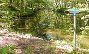
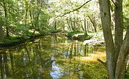
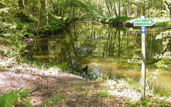
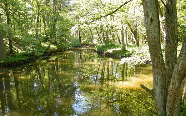
Ravensbrücker Dorfstraße / Abzweig Weidendamm

16798 Fürstenberg/ Havel

Weather Today, 14. 9.

12 18
overcast clouds

  • Monday
    12 21
  • Tuesday
    13 17

Tourist information

Tourismusverband Ruppiner Seenland e. V.

Fischbänkenstraße 8
16816 Neuruppin

Tel.: +49 (0) 3391-659630
Fax: +49 (0) 3391-659632

Weather Today, 14. 9.

12 18
overcast clouds

  • Monday
    12 21
  • Tuesday
    13 17

All information, times and prices are regularly checked and updated. Nevertheless, we can not guarantee the accuracy of the data. We recommend that you inquire about the current status by phone / e-mail or via the provider's website before your visit.