Address
Bahnhof
16269 Wriezen
16269 Wriezen
Bahnhof
16259 Falkenberg/Mark
16259 Falkenberg/Mark
Seenland Oder-Spree e.V.
Ulmenstraße 15
15526 Bad Saarow
Ulmenstraße 15
15526 Bad Saarow
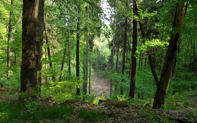
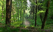
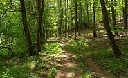
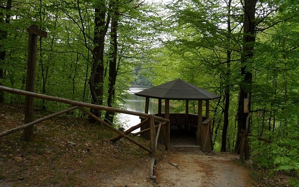
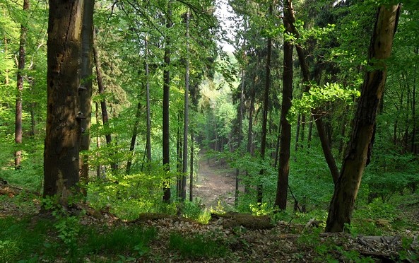
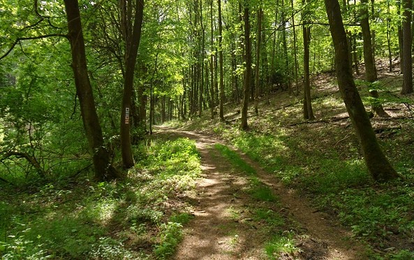
This tour leads through the region: Seenland Oder-Spree