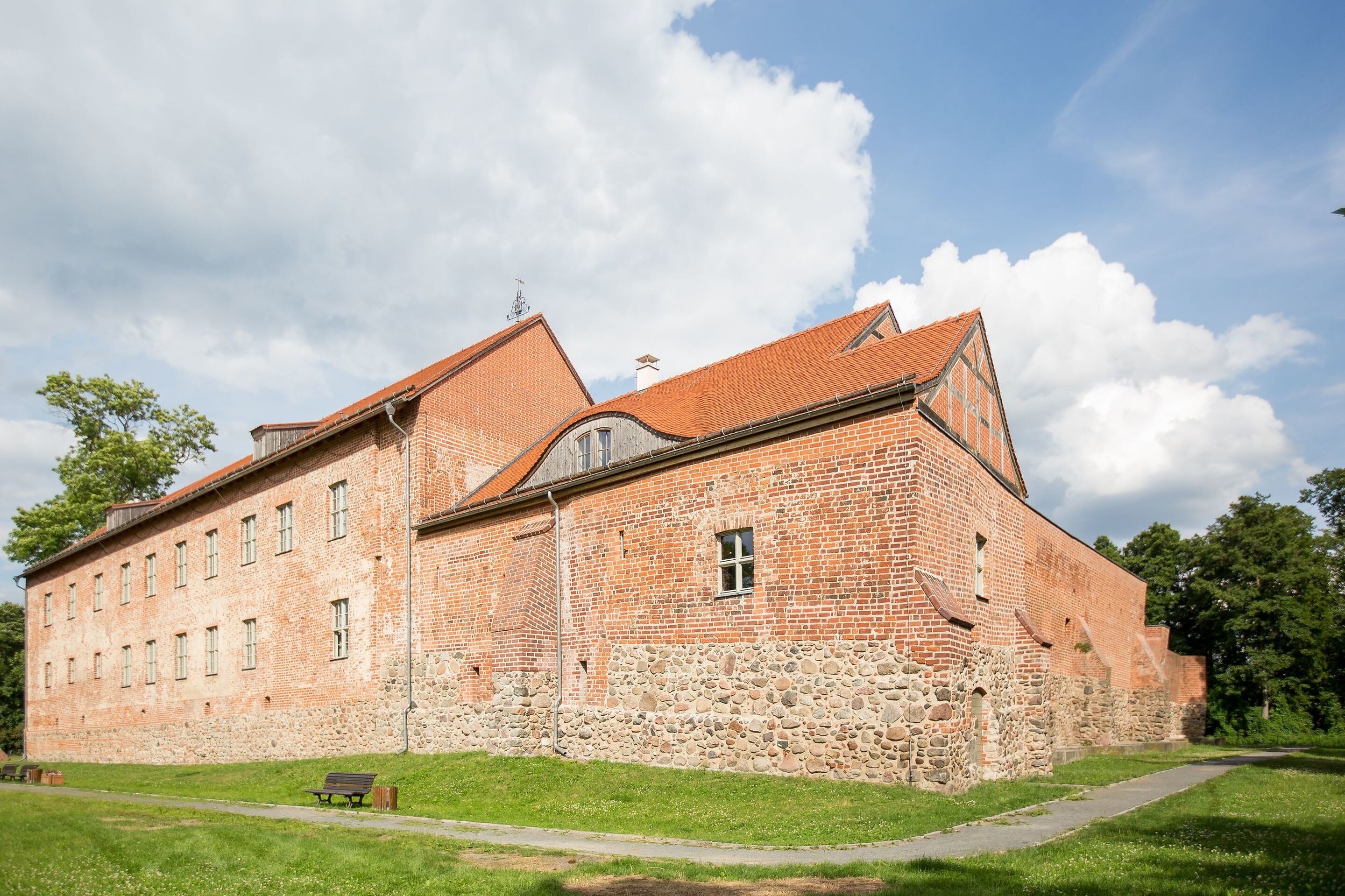
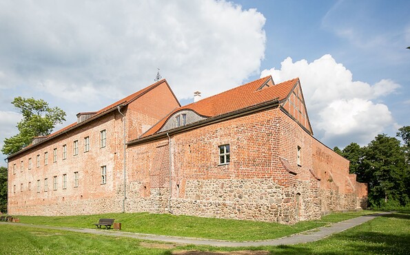
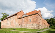
Auf den Spuren der Treidler - A fascinating hiking trail around Storkow (Mark)

Hiking tours
Length: 17 km
0 Ratings of 5 (0)
0
0
0
0
0
How did you like your stay? You have already rated your stay.
Length: 17 km
From €
Show availability & price

p.P. = per person, p.P./N = per person / night, p.E./N = per unit / night, EZ = Single room, DZ = double room, FeWo = holiday home, App. = apartment, Suite = suite, FR = Breakfast, HP = half board, VP = full board
In the Märkisches Land region, it was incredibly difficult to transport freight on the sandy country roads. And so the existing waterways were used for rafting and for transporting a wide range of goods on barges that were towed. One of these waterways was and is the Storkow Canal. Along the southern bank, the historic towpath still connects the town districts of Philadelphia and Kummersdorf.  You can look forwards to a walk in the tracks of the haulers and experience the region’s natural beauty.
Continue readingcollapse
  • Burg Storkow (Mark), Foto: Seenland Oder-Spree / Florian Läufer
  • Ausstellung auf der Burg Storkow (Mark), Foto: Seenland Oder-Spree / Florian Läufer
  • Storkower Altstadt, Foto: Tourismusverein Scharmützelsee e.V.
  • Zugbrücke in Storkow (Mark), Foto: Seenland Oder-Spree / Florian Läufer
  • MitMachPark Irrlandia, Foto: TMB-Fotoarchiv / Steffen Lehmann
  • Am Treidelweg bei Storkow, Foto: Laura Beister
The walk starts at Storkow Castle, the visitor centre for the Dahme-Heideseen nature park. Parking is free of charge and it is easy to reach by public transport. The circular route is around 15 kilometres long and can also be completed by bicycle. It is not recommended for small children, as the towpath is very narrow and runs close to the water.

The section leads past the historic market square across the “Salzweg” (green signs), a circular path through the Luchwiesen nature conservation area, with its typical salt-tolerant plants such as sea arrowgrass and bird’s foot trefoil. The next town is called Philadelphia. The little one-street village has nothing in common with its American namesake, but it is possible that there might be a historical connection through “Old Fritz”.

The towpath starts as you come out of the village, before the canal bridge, and leads over around 3 kilometres north west to Kummersdorf. The path runs parallel to the canal and is fringed by picturesque trees. Following the road called “Strasse der Jugend”, it passes the track of the RB36 (Berlin-Frankfurt (Oder)) rail line after about 2 kilometres; this is followed by small woodlands and the main road (L23) before the path reaches the little town of Neu Boston. Once again, Frederick II seems to have had something to do with the name. Once you pass Lake Lebbiner See, the first houses in Storkow will soon come into sight. It is worth taking time to visit the Irrlandia Interactive Park along the way (open May to October). Cross the drawbridge and go back through the Old Town and it’s only a short way back to the castle, where the walk ends.

Start/finish: Storkow (Mark) castle
Length: 17 kilometres

via: Philadelphia, Kummersdorf, Neu Boston

Points of interest along the route:
  • Storkow: Storkow castle, Luchwiesen nature conservation area, Irrlandia interactive park
  • Towpath

The best restaurants:

  • Restaurant Storchenklause, Storkow (Mark)

Information on site:

  • Tourist information centre at Storkow (Mark) Castle

Continue readingcollapse
In the Märkisches Land region, it was incredibly difficult to transport freight on the sandy country roads. And so the existing waterways were used for rafting and for transporting a wide range of goods on barges that were towed. One of these waterways was and is the Storkow Canal. Along the southern bank, the historic towpath still connects the town districts of Philadelphia and Kummersdorf.  You can look forwards to a walk in the tracks of the haulers and experience the region’s natural beauty.
Continue readingcollapse
  • Burg Storkow (Mark), Foto: Seenland Oder-Spree / Florian Läufer
  • Ausstellung auf der Burg Storkow (Mark), Foto: Seenland Oder-Spree / Florian Läufer
  • Storkower Altstadt, Foto: Tourismusverein Scharmützelsee e.V.
  • Zugbrücke in Storkow (Mark), Foto: Seenland Oder-Spree / Florian Läufer
  • MitMachPark Irrlandia, Foto: TMB-Fotoarchiv / Steffen Lehmann
The walk starts at Storkow Castle, the visitor centre for the Dahme-Heideseen nature park. Parking is free of charge and it is easy to reach by public transport. The circular route is around 15 kilometres long and can also be completed by bicycle. It is not recommended for small children, as the towpath is very narrow and runs close to the water.

The section leads past the historic market square across the “Salzweg” (green signs), a circular path through the Luchwiesen nature conservation area, with its typical salt-tolerant plants such as sea arrowgrass and bird’s foot trefoil. The next town is called Philadelphia. The little one-street village has nothing in common with its American namesake, but it is possible that there might be a historical connection through “Old Fritz”.

The towpath starts as you come out of the village, before the canal bridge, and leads over around 3 kilometres north west to Kummersdorf. The path runs parallel to the canal and is fringed by picturesque trees. Following the road called “Strasse der Jugend”, it passes the track of the RB36 (Berlin-Frankfurt (Oder)) rail line after about 2 kilometres; this is followed by small woodlands and the main road (L23) before the path reaches the little town of Neu Boston. Once again, Frederick II seems to have had something to do with the name. Once you pass Lake Lebbiner See, the first houses in Storkow will soon come into sight. It is worth taking time to visit the Irrlandia Interactive Park along the way (open May to October). Cross the drawbridge and go back through the Old Town and it’s only a short way back to the castle, where the walk ends.

Start/finish: Storkow (Mark) castle
Length: 17 kilometres

via: Philadelphia, Kummersdorf, Neu Boston

Points of interest along the route:
  • Storkow: Storkow castle, Luchwiesen nature conservation area, Irrlandia interactive park
  • Towpath

The best restaurants:

  • Restaurant Storchenklause, Storkow (Mark)

Information on site:

  • Tourist information centre at Storkow (Mark) Castle

Continue readingcollapse

Arrival planner

Schlossstraße 6

15859 Storkow (Mark)
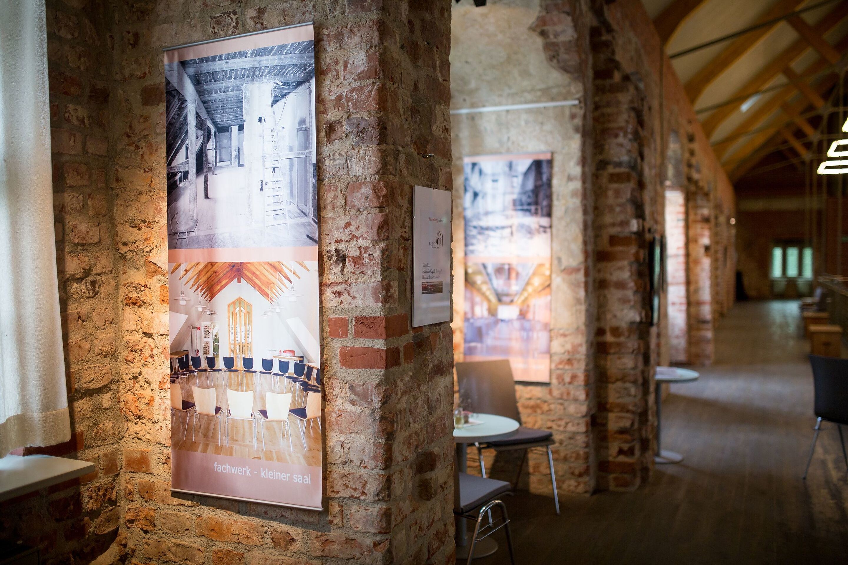
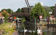
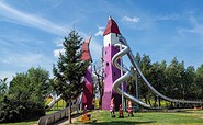
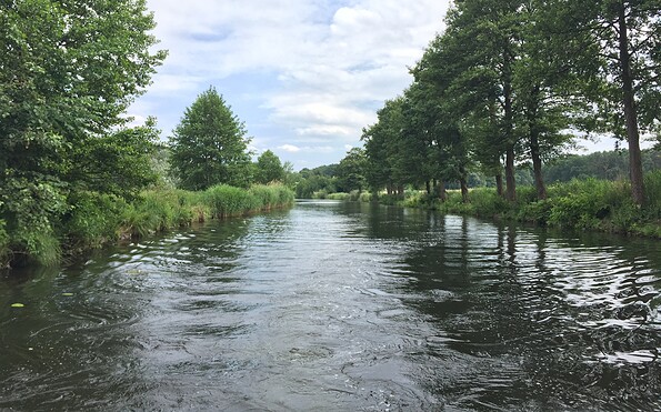
Weather Today, 25. 4.

4 9
light rain

  • Friday
    2 13
  • Saturday
    8 20

Brochures

Tourist information

Tourismusverband Seenland Oder-Spree e.V.

Ulmenstraße 15
15526 Bad Saarow

Tel.: +49 (0) 33631-868100
Fax: +49 (0) 33631-868102

Weather Today, 25. 4.

4 9
light rain

  • Friday
    2 13
  • Saturday
    8 20

All information, times and prices are regularly checked and updated. Nevertheless, we can not guarantee the accuracy of the data. We recommend that you inquire about the current status by phone / e-mail or via the provider's website before your visit.

(+49) +49(0)331 2004747​ We are available for you via telephone: weekdays Mon – Fri 9 am – 1 pm and Oct. 31 from 9 am – 1 pm.

Thank you for your enquiry!

In case your enquiry did not result in a booking, we will be getting in touch with you as quickly as possible during our service hours from Monday to Friday from 9 a.m. - 6 p.m.

We are also glad to answer all of your questions surrounding the State of Brandenburg at (+49)(0)331- 200 47 47. Please send us an e-mail at service@reiseland-brandenburg.de.

Your information and travel agency service Brandenburg

Your request was not successful!

Please try again later. Thank you.

Your information and travel agency service Brandenburg

Online booking


Thank you for visiting www.brandenburg-tourism.com

This website has been developed with the latest technology. Unfortunately, you are using a browser that does not meet the latest technical requirements.

We therefore ask you to use an alternative browser (E.g. Google Chrome, Firefox or Edge) and we hope you enjoy browsing our website.