Address
15299
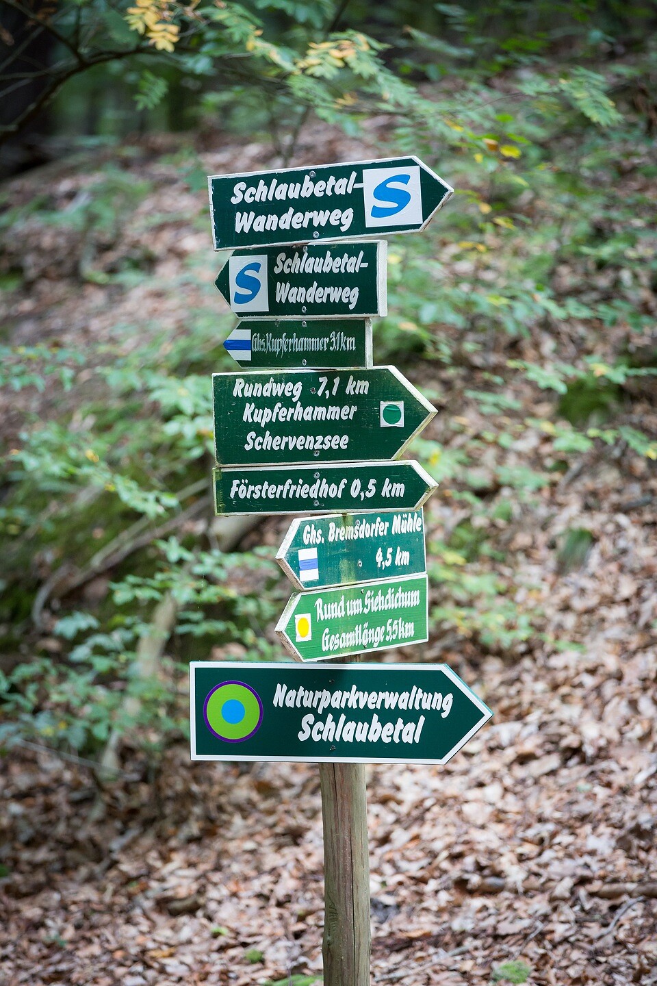
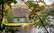
Bremsdorfer Mühle
15898
Treppeln, Schlaubemühle
15890
Bremsdorf
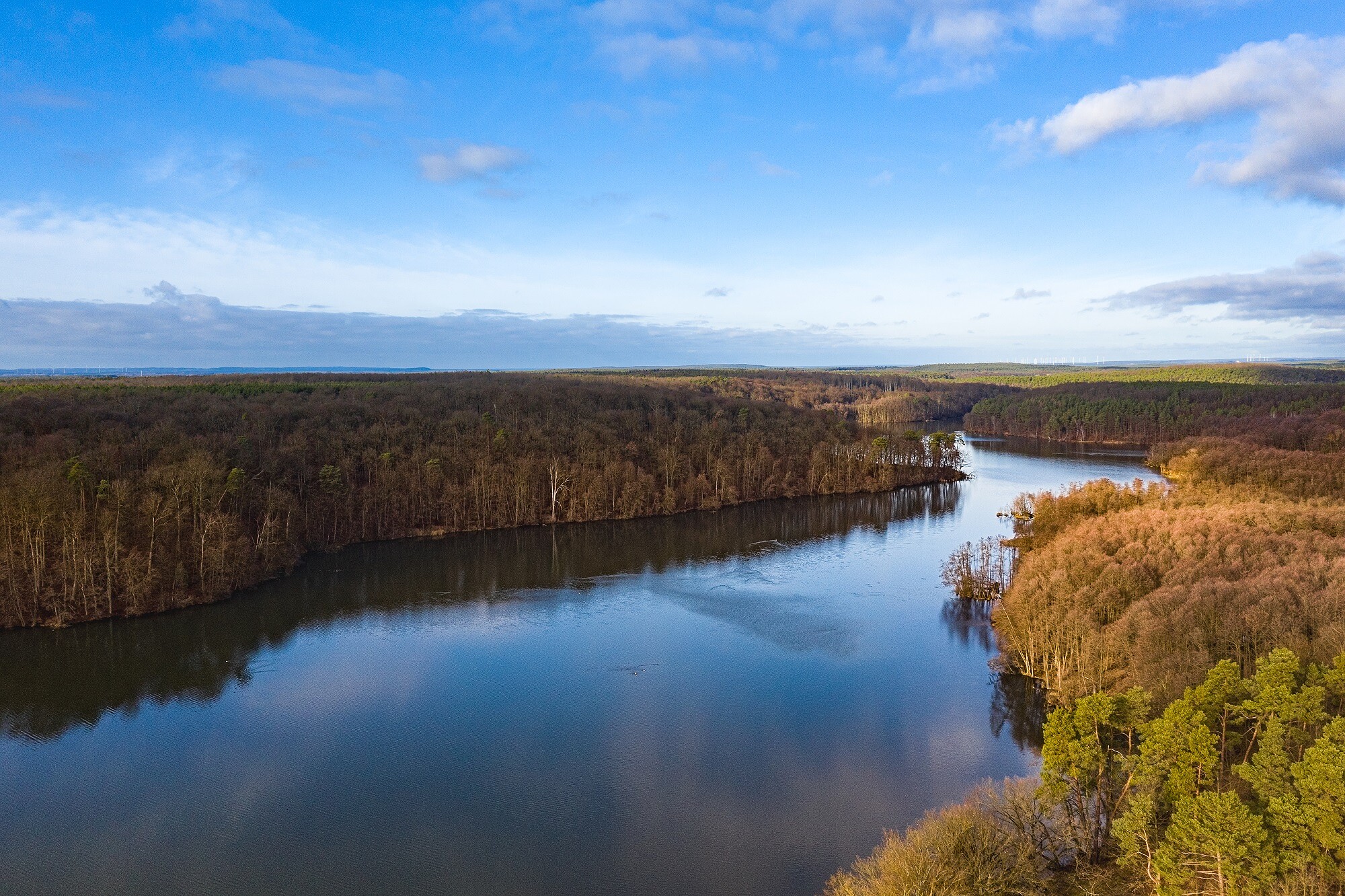
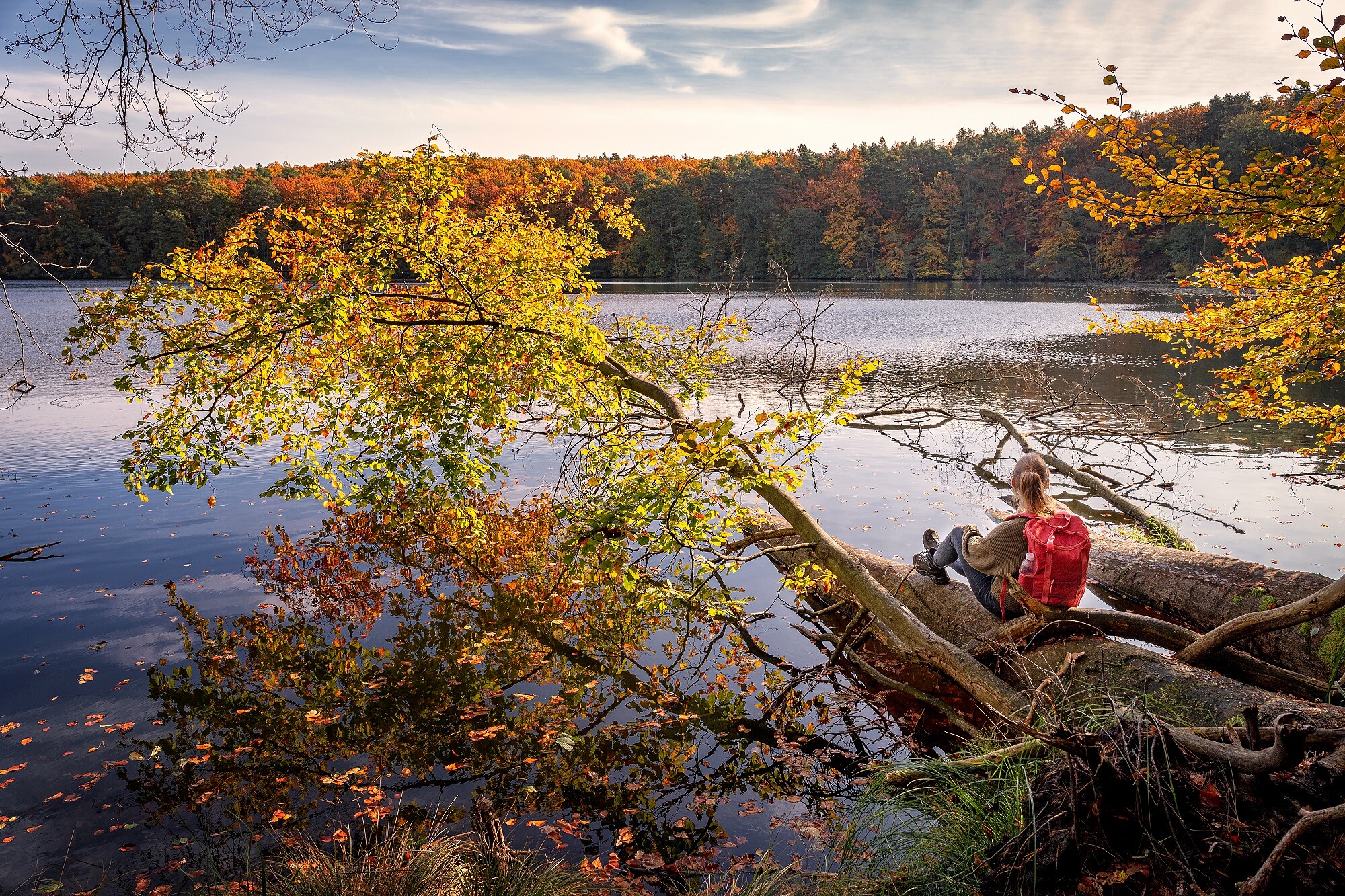
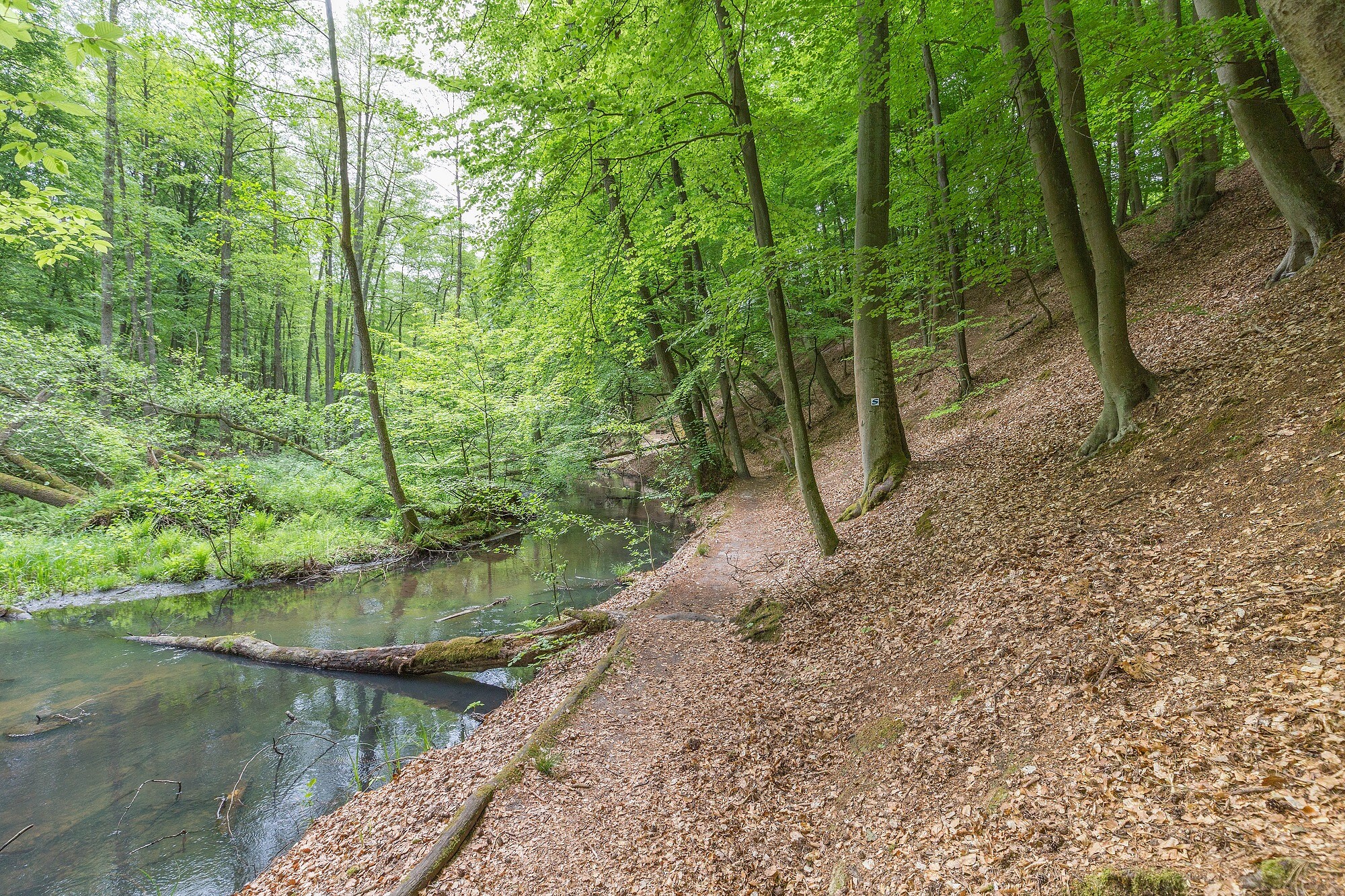
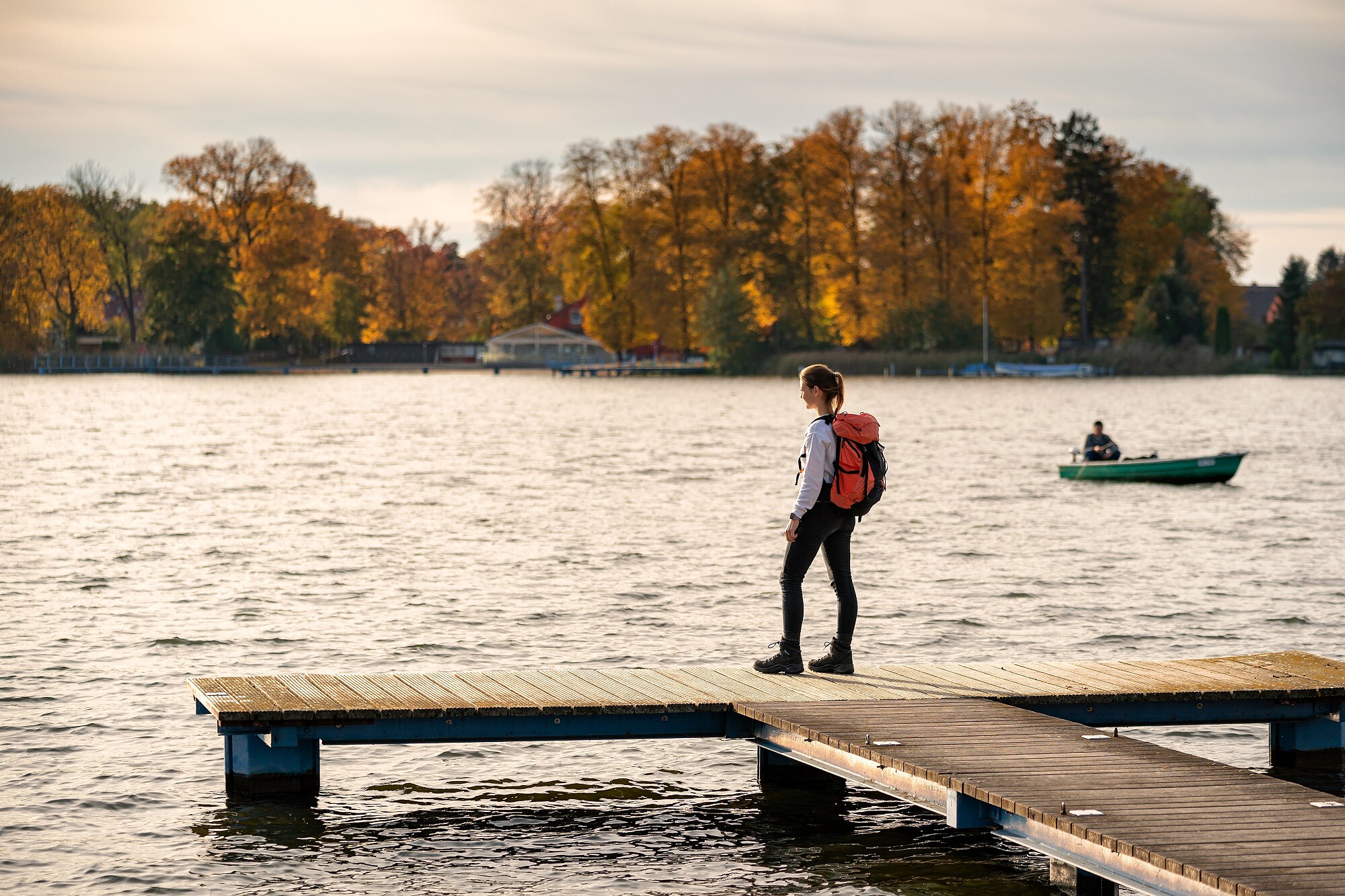
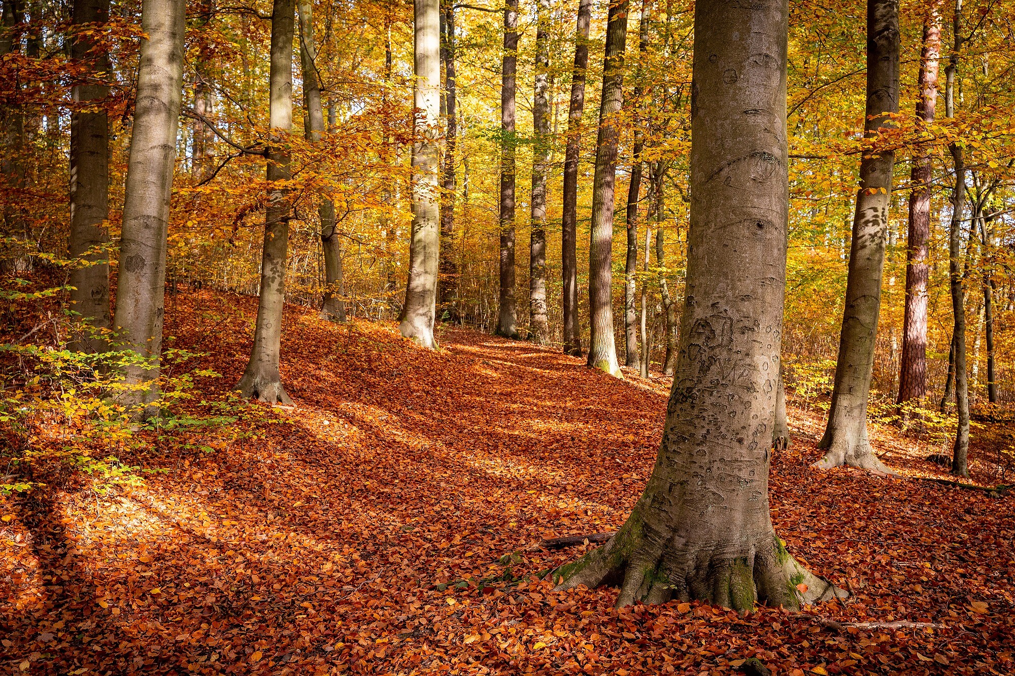
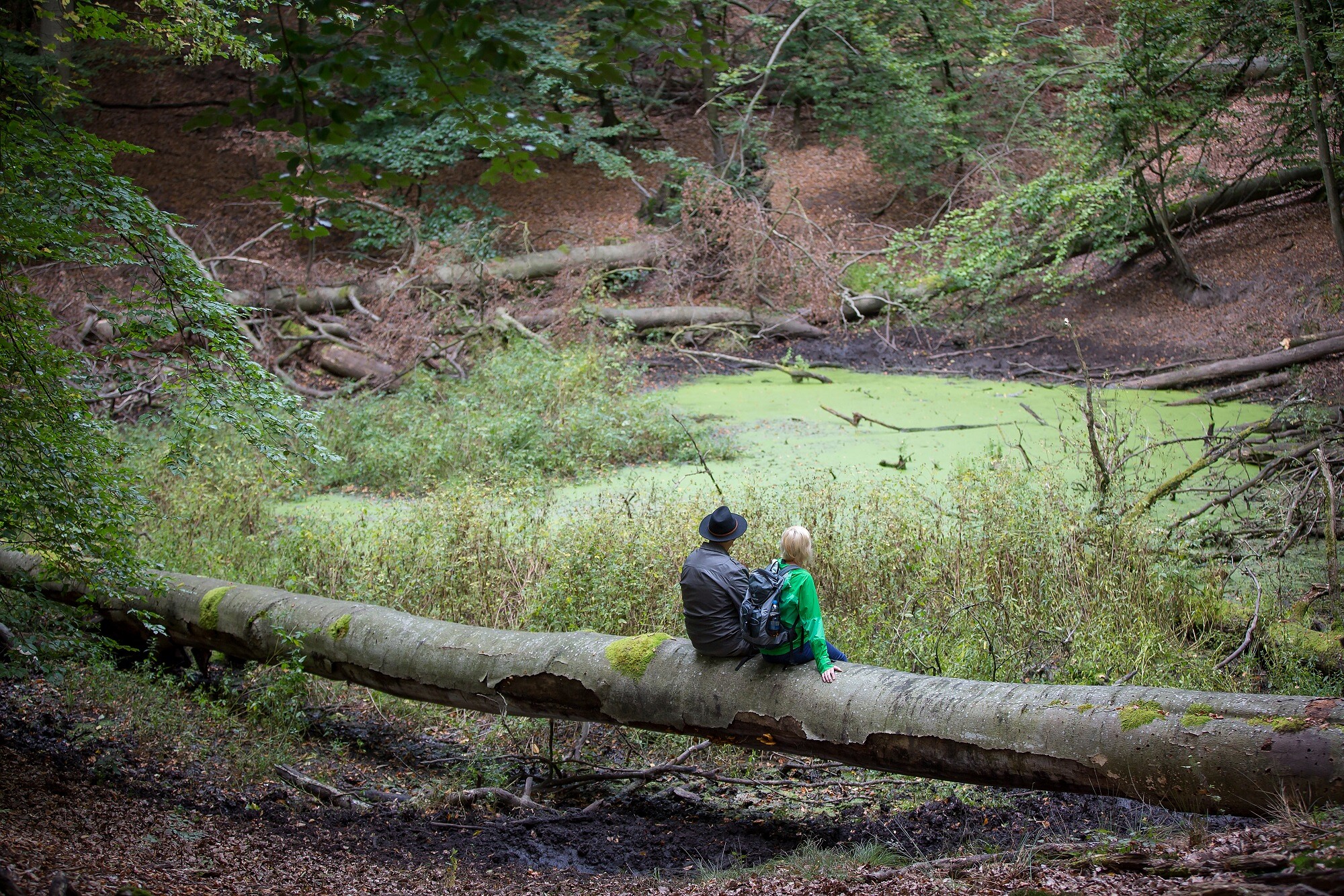
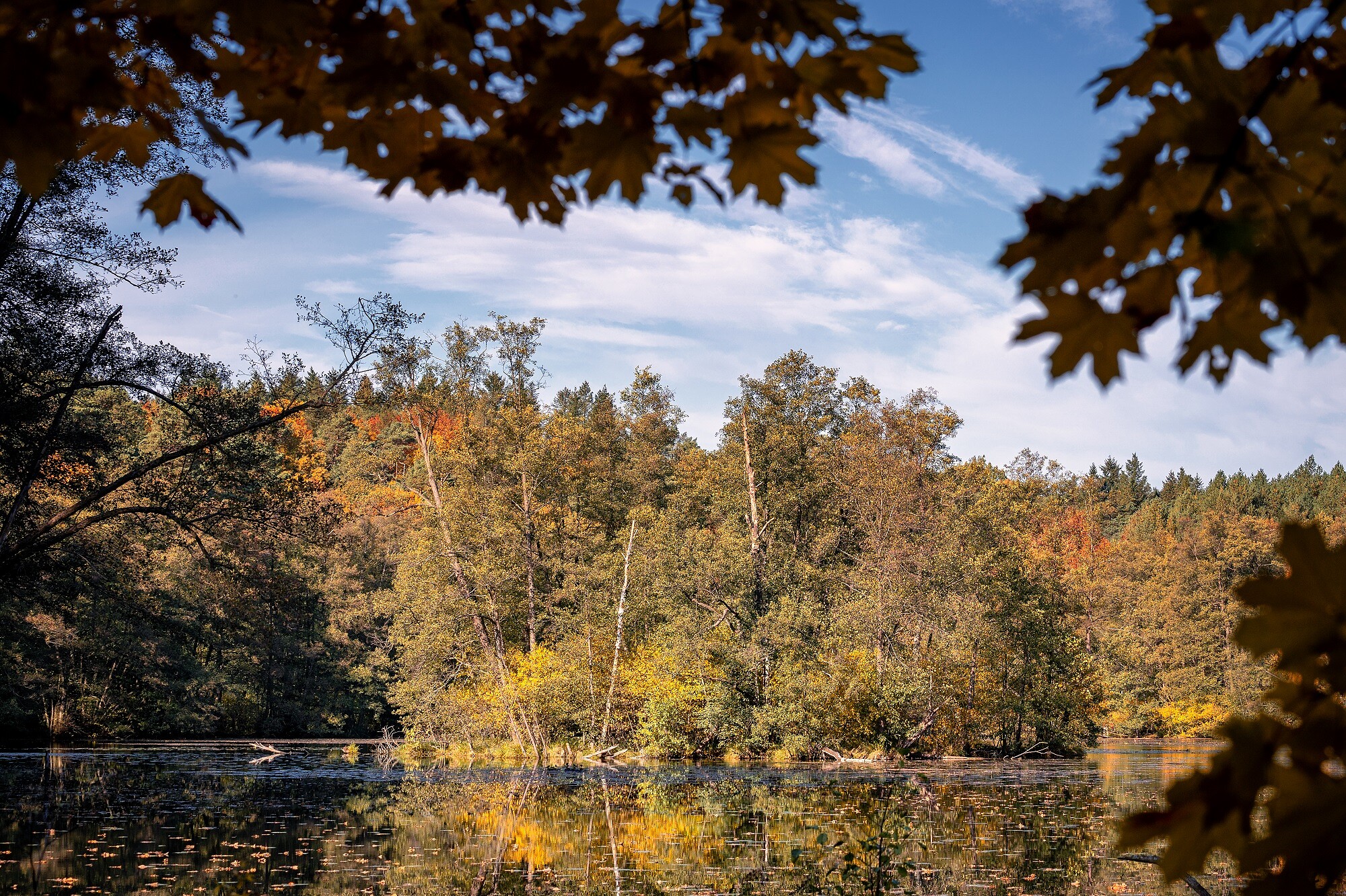
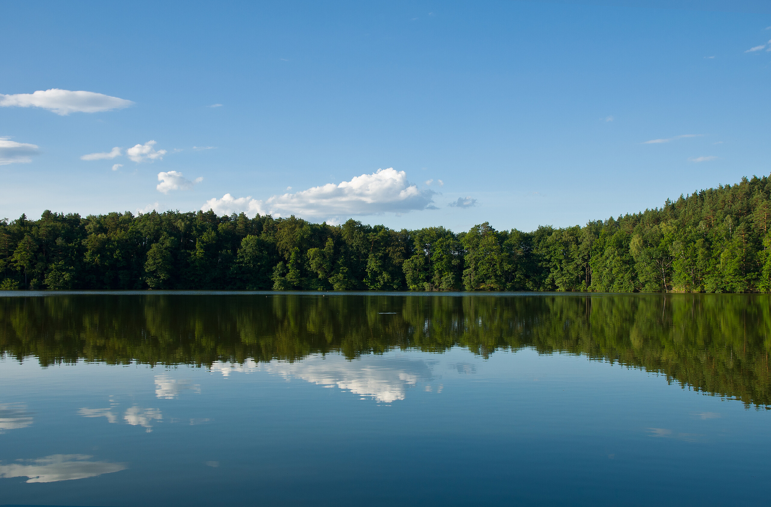
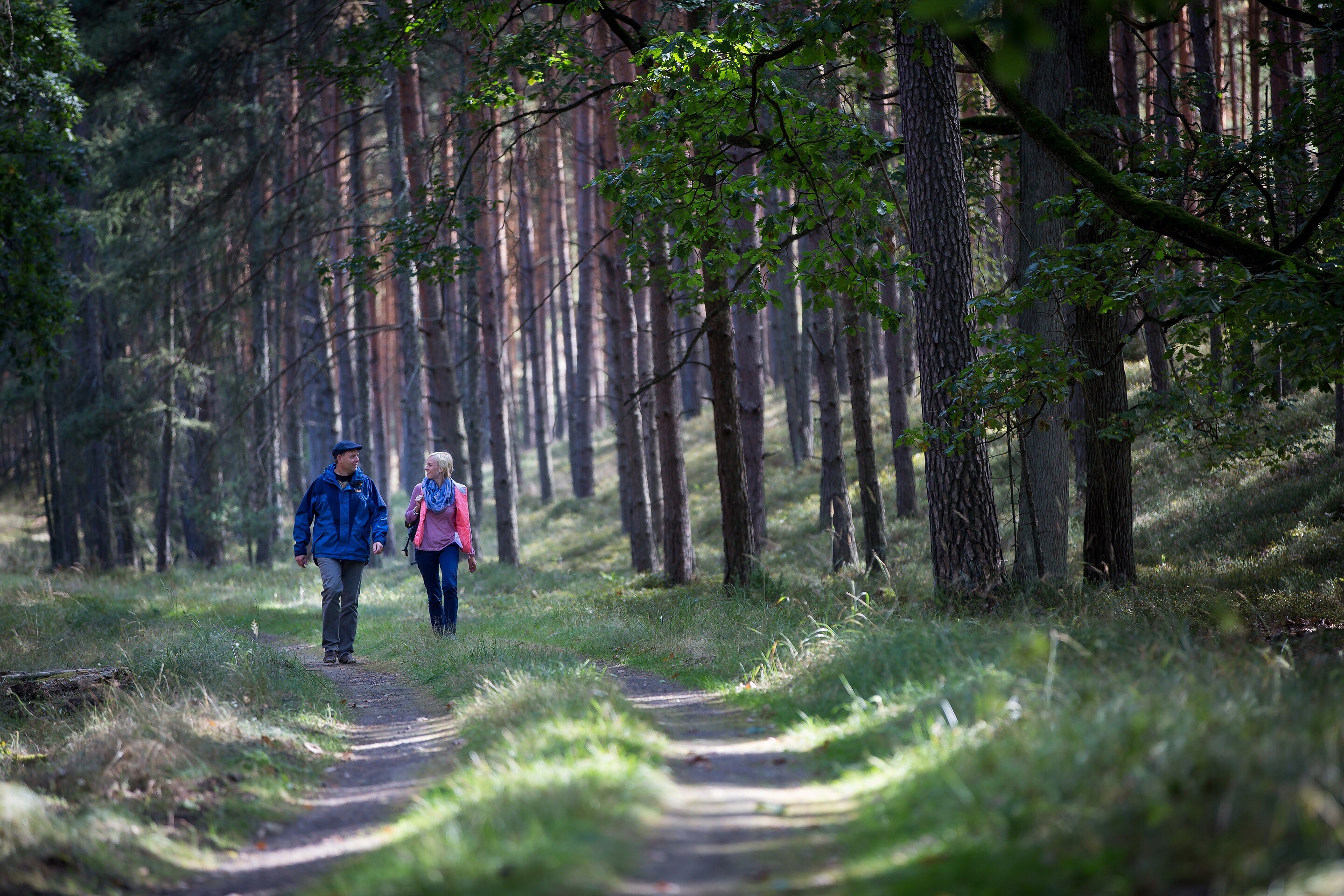
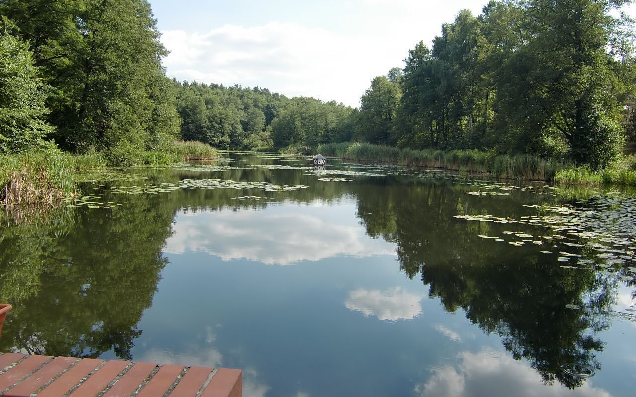
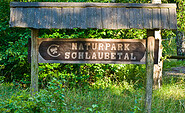
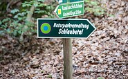
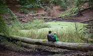
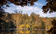
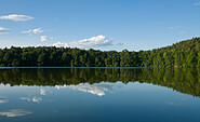
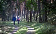
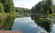
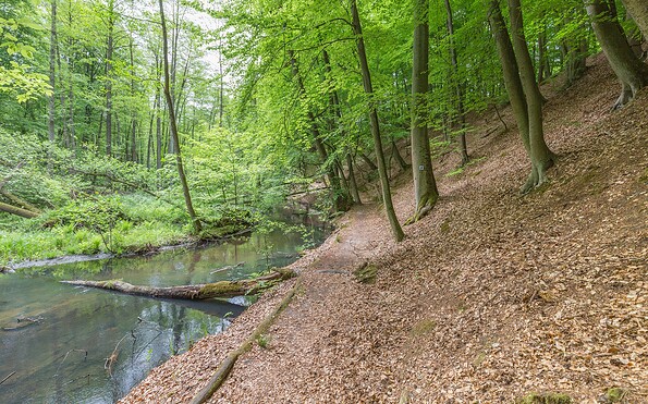
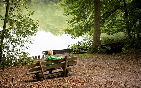
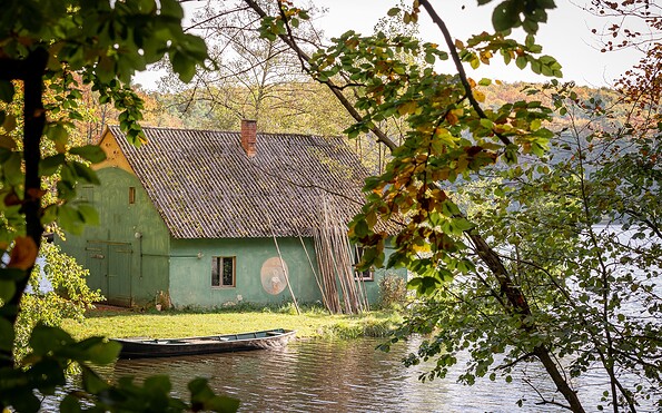
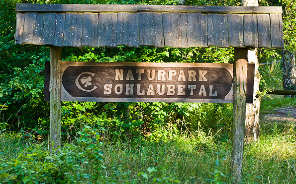
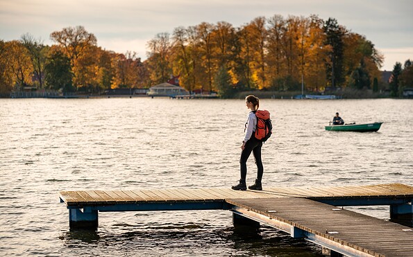
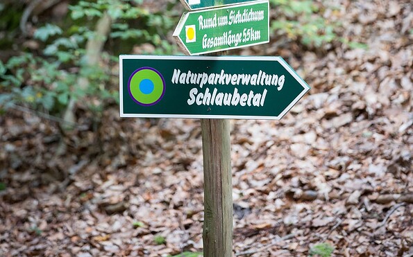
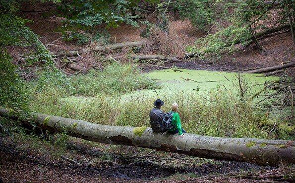
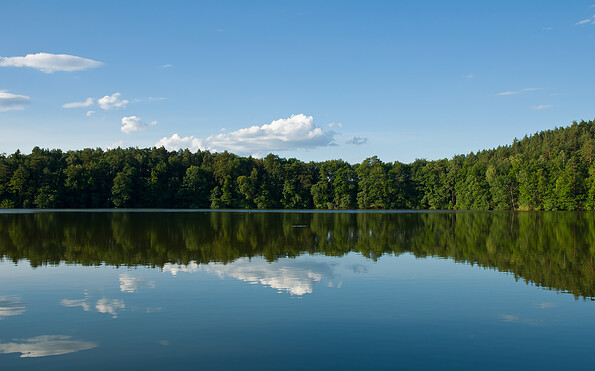
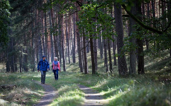
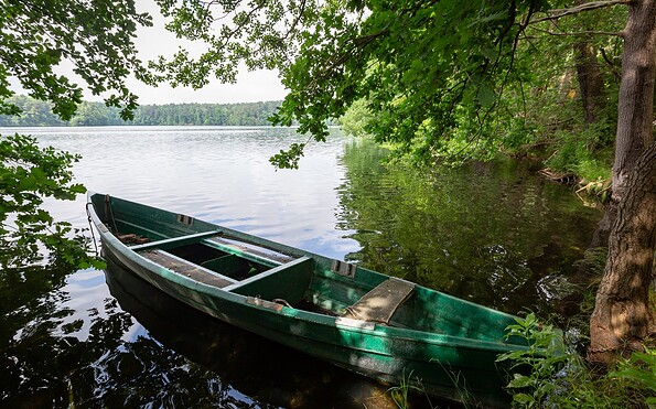
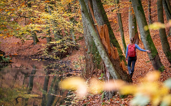
This tour leads through the region: Seenland Oder-Spree