Address
Strausberg Bahnhof
Bahnhofstraße
15344 Strausberg
Bahnhofstraße
15344 Strausberg
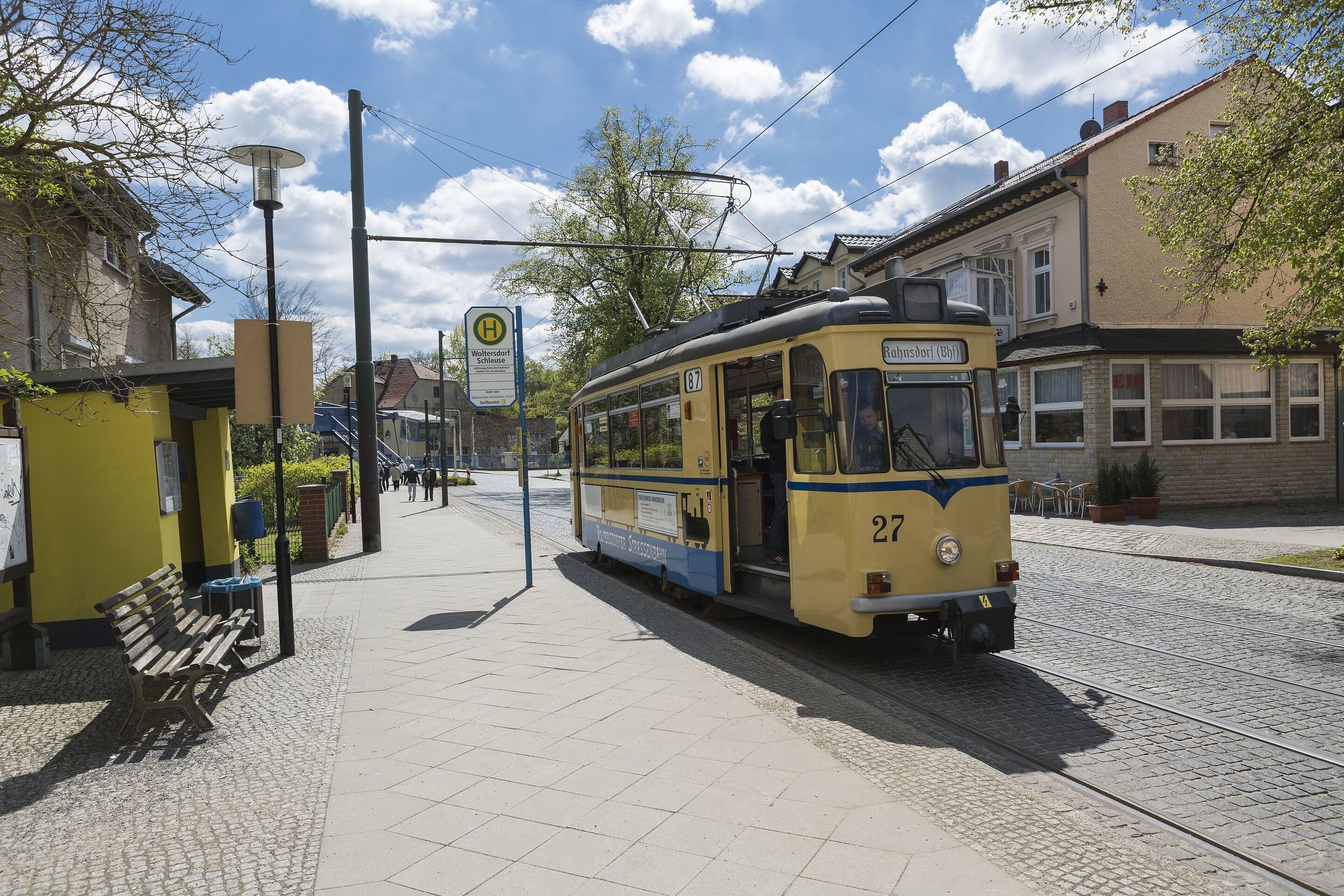
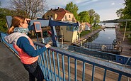
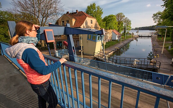
Woltersdorf Schleuse
An der Schleuse
15569 Woltersdorf
An der Schleuse
15569 Woltersdorf
Stadt- und Touristinformation Strausberg
August-Bebel-Straße 1
15344 Strausberg
August-Bebel-Straße 1
15344 Strausberg
This tour leads through the region: Seenland Oder-Spree