Address
Uckerpromenade
17291 Prenzlau
17291 Prenzlau
Bahnhof
17291 Seehausen
17291 Seehausen
tmu Tourismus Marketing Uckermark GmbH
Stettiner Straße 19
17291 Prenzlau
Stettiner Straße 19
17291 Prenzlau
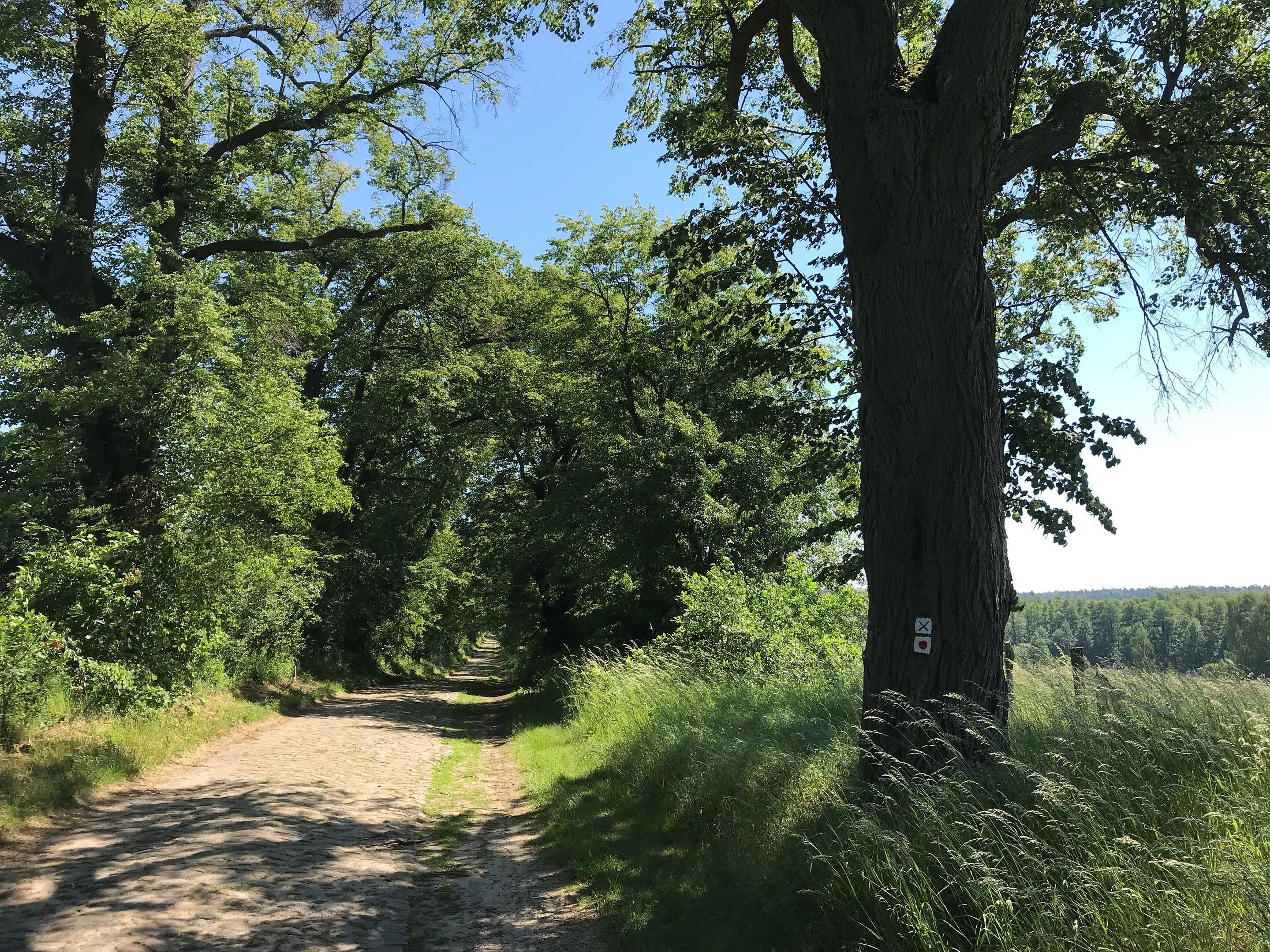
This tour leads through the region: Uckermark