Address
Wilhelmstraße
16225 Eberswalde
16225 Eberswalde
Wilhelmstraße
16225 Eberswalde
16225 Eberswalde
WITO Wirtschafts- und Tourismusentwicklungsgesellschaft mbH
Alfred-Nobel-Straße 1
16225 Eberswalde
Alfred-Nobel-Straße 1
16225 Eberswalde
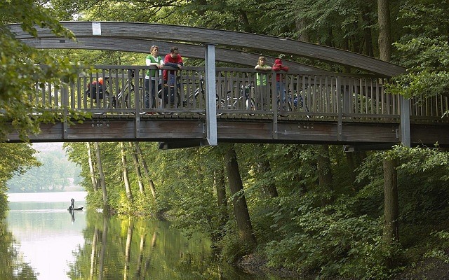
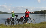
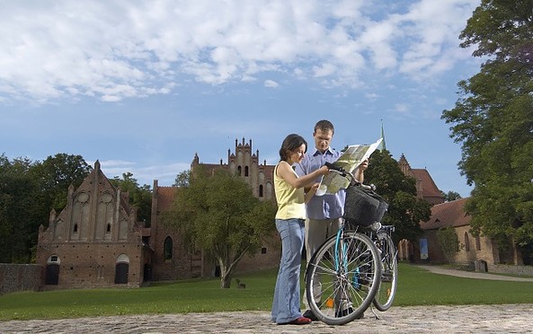
This tour leads through the region: Barnimer Land