Address
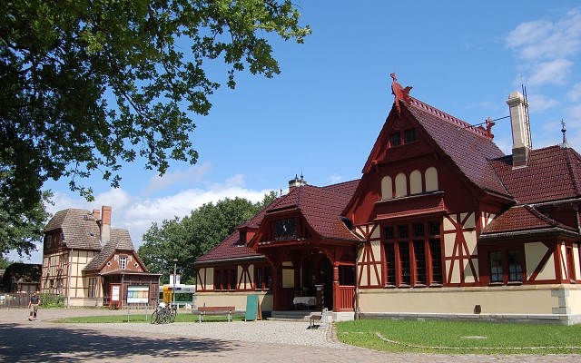
Bahnhof Bernau bei Berlin
Breitscheidstraße
16321 Bernau bei Berlin
Breitscheidstraße
16321 Bernau bei Berlin
Bahnhof Joachimsthal
Bahnhofstraße
16247 Joachimsthal
Bahnhofstraße
16247 Joachimsthal
WITO Wirtschafts- und Tourismusentwicklungsgesellschaft mbH
Alfred-Nobel-Straße 1
16225 Eberswalde
Alfred-Nobel-Straße 1
16225 Eberswalde
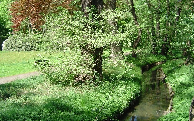
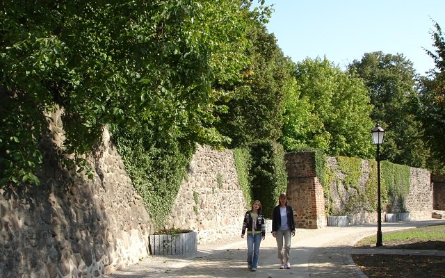
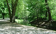
This tour leads through the region: Barnimer Land Seenland Oder-Spree Ruppiner Seenland Berlin