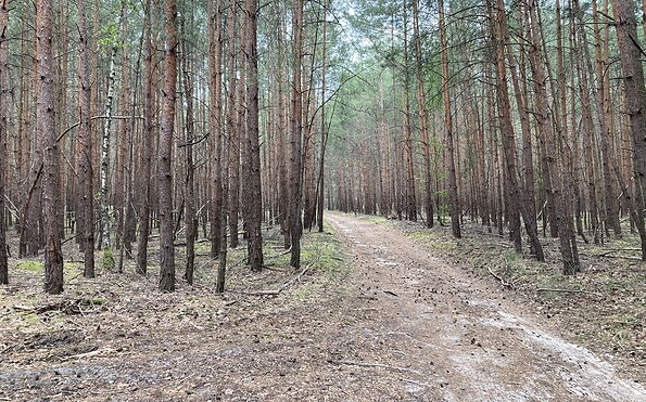
Circular route around the Pätzer Vordersee and Hintersee

Hiking tours
Length: 17 km
0 Ratings of 5 (0)
0
0
0
0
0
How did you like your stay? You have already rated your stay.
Hiking tours
Length: 17 km
From €
Show availability & price

p.P. = per person, p.P./N = per person / night, p.E./N = per unit / night, EZ = Single room, DZ = double room, FeWo = holiday home, App. = apartment, Suite = suite, FR = Breakfast, HP = half board, VP = full board
Starting at Bestensee railway station, the circular walking route takes you around both of the Pätz lakes. There are several places to stop for refreshments along the trail, so you’re well catered for when it’s time for a proper break. There are places to eat in Bestensee, Pätz and the Hintersiedlung area of Bestensee. The circuit first takes you through the village of Bestensee before turning into the woods. Passing the well-known bathing spot on the Vordersee, the trail then crosses the small village of Pätz. Through the Liepegrund, the route enters the countryside of the Heideseen Nature Park. You’ll soon reach the Pätzer Hintersee. The path winds through woods and meadows, offering only occasional glimpses of the water.  After a short stretch along the Hofjagdweg, the trail turns off parallel to the regional railway line towards Hintersiedlung. The path along the shore is particularly beautiful here. The route takes you back to the starting point via Bestensee’s Hintersiedlung, Vordersiedlung and Klein Besten.
Continue readingcollapse
Pätzer Vordersee, Foto: Sandra Fonarob, Lizenz: Tourismusverband Dahme-Seneland e.V.
Pätzer Hintersee, Foto: Sandra Fonarob, Lizenz: Tourismusverband Dahme-Seneland e.V.
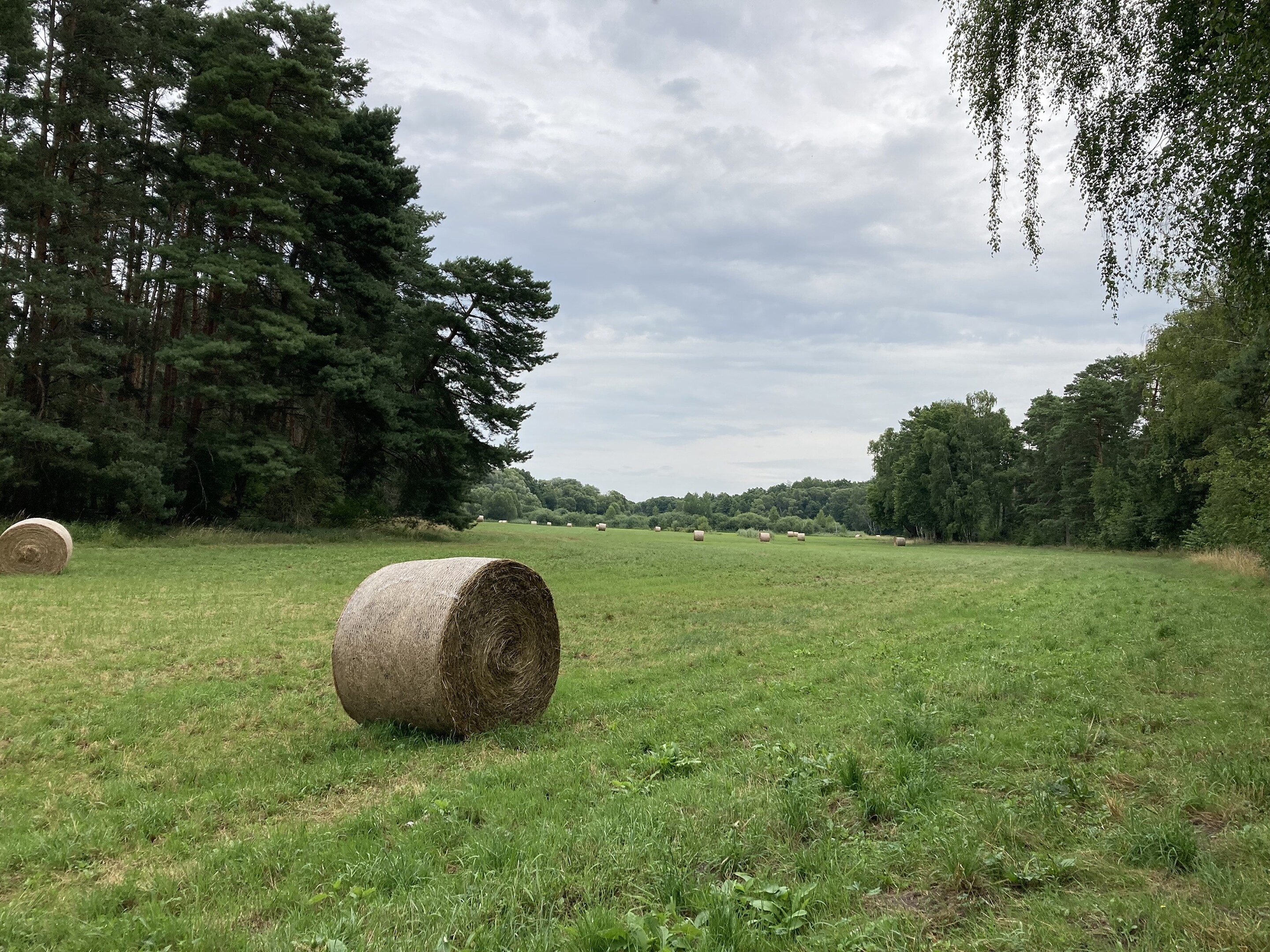
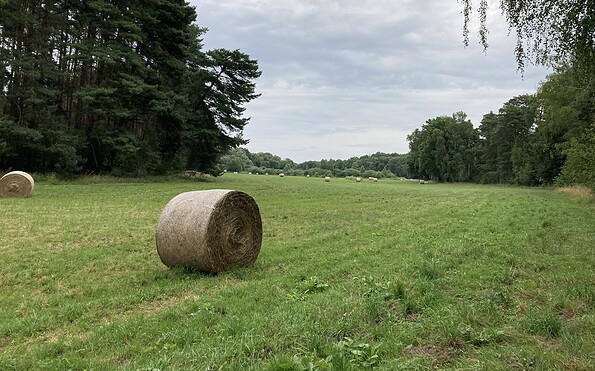
Feld am Pätzer Vordersee, Foto: Juliane Frank, Lizenz: Tourismusverband Dahme-Seenland e.V.
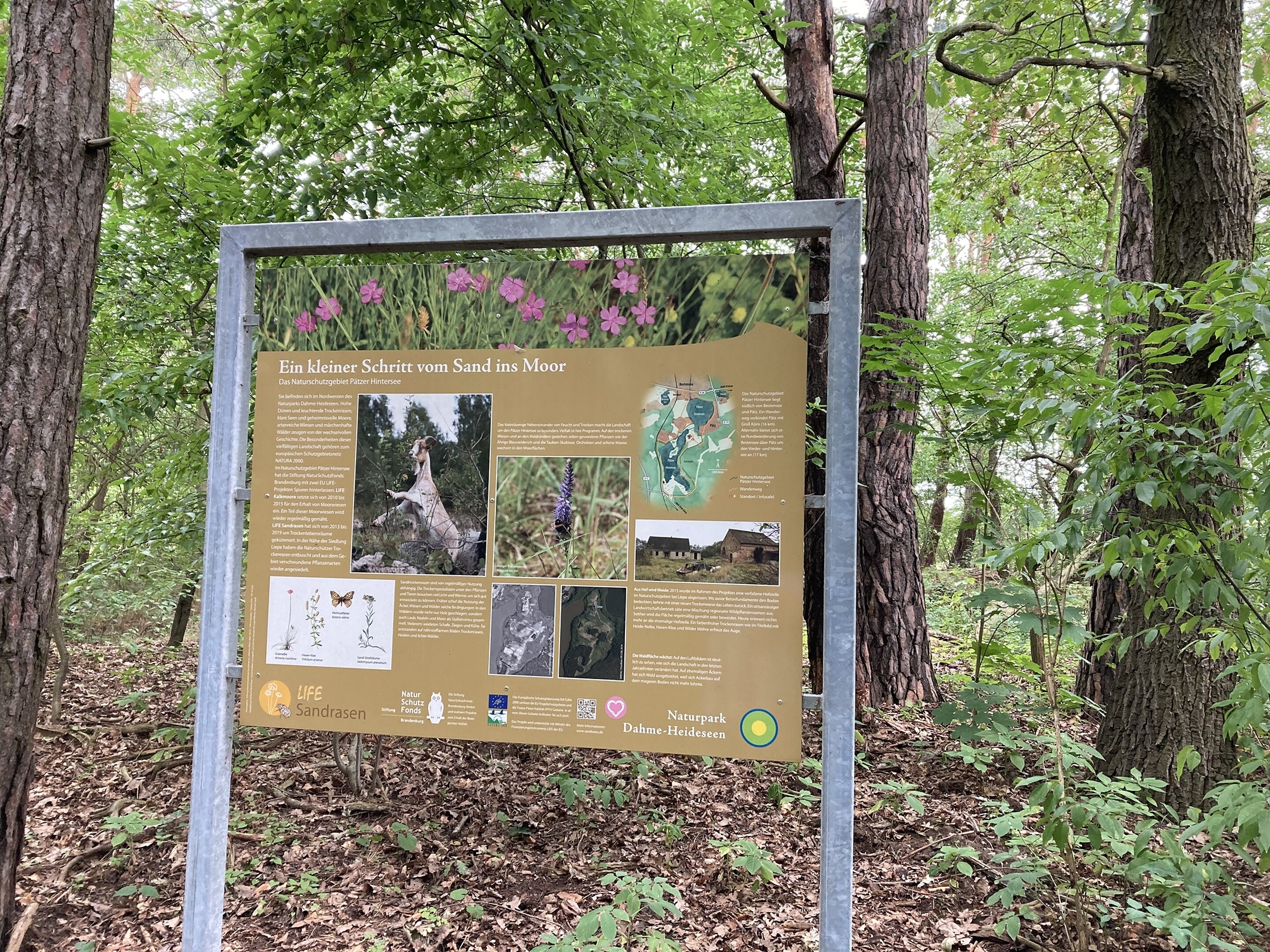
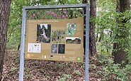
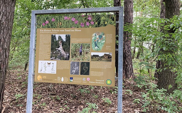
Information board of the nature park Dahme-Heidessen, Foto: Sandra Fonarob, Lizenz: Tourismusverband Dahme-Seneland e.V.
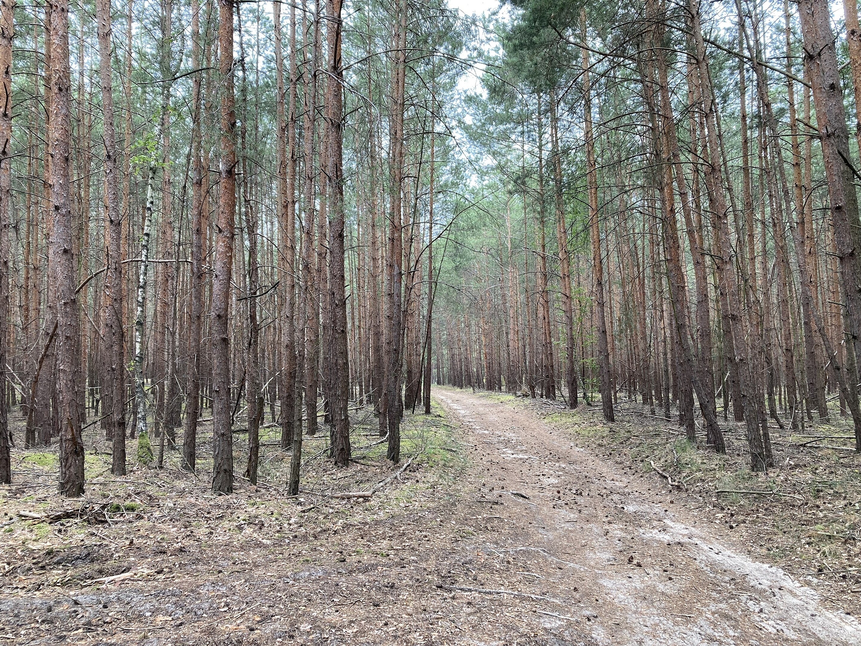
Open countryside, Foto: Sandra Fonarob, Lizenz: Tourismusverband Dahme-Seneland e.V.
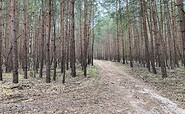
Hiking trail with signposts, Foto: Sandra Fonarob, Lizenz: Tourismusverband Dahme-Seneland e.V.
Benches at Pätzer Hintersee, Foto: Sandra Fonarob, Lizenz: Tourismusverband Dahme-Seneland e.V.
Length: 16.6 km, 4.5...6 hours

Start/finish: Bestensee train station

Route: Bestensee train station - Pätz - Liepe - Hofjagdweg - Hintersiedlung - Vordersiedlung - Klein Besten - Bestensee train station

Marking of the path: yellow dot on a white background

Arrival and departure by public transport:

Bestensee regional train RE station

Worth seeing:

former royal forester's lodge

Wine barn

Lindecafé

Ice cream parlor at the three oaks

Combination options:

Tongruben Pätz/Gräbendorf circular route

Sutschketal hiking trail

Large clay pond circular route

5 lakes hike

Paul-Gerhardt-Weg

Card recommendations:
  • Cycling, hiking and water map, Dahme-Seenland, Königs Wusterhausen, Teupitz, 1:35,000, Green Heart, ISBN: 978-3-86636-176-8, 4.95 euros
  • Cycling and hiking map "Flutgrabenaue and surroundings", 1:35,000, Dr. Barthel Verlag, ISBN 978-3-89591-097-5, 4.90 euros
  • Cycling and hiking map "Dahme-Heideseen Nature Park" Excursions between Märkisch Buchholz, Teupitz, Königs Wusterhausen, Storkow (Mark), 

    1:35,000, Dr. Barthel Verlag, ISBN 978-3-89591-092-0, 6.90 euros

Continue readingcollapse
Starting at Bestensee railway station, the circular walking route takes you around both of the Pätz lakes. There are several places to stop for refreshments along the trail, so you’re well catered for when it’s time for a proper break. There are places to eat in Bestensee, Pätz and the Hintersiedlung area of Bestensee. The circuit first takes you through the village of Bestensee before turning into the woods. Passing the well-known bathing spot on the Vordersee, the trail then crosses the small village of Pätz. Through the Liepegrund, the route enters the countryside of the Heideseen Nature Park. You’ll soon reach the Pätzer Hintersee. The path winds through woods and meadows, offering only occasional glimpses of the water.  After a short stretch along the Hofjagdweg, the trail turns off parallel to the regional railway line towards Hintersiedlung. The path along the shore is particularly beautiful here. The route takes you back to the starting point via Bestensee’s Hintersiedlung, Vordersiedlung and Klein Besten.
Continue readingcollapse
Pätzer Vordersee, Foto: Sandra Fonarob, Lizenz: Tourismusverband Dahme-Seneland e.V.
Pätzer Hintersee, Foto: Sandra Fonarob, Lizenz: Tourismusverband Dahme-Seneland e.V.
Feld am Pätzer Vordersee, Foto: Juliane Frank, Lizenz: Tourismusverband Dahme-Seenland e.V.
Information board of the nature park Dahme-Heidessen, Foto: Sandra Fonarob, Lizenz: Tourismusverband Dahme-Seneland e.V.
Open countryside, Foto: Sandra Fonarob, Lizenz: Tourismusverband Dahme-Seneland e.V.
Hiking trail with signposts, Foto: Sandra Fonarob, Lizenz: Tourismusverband Dahme-Seneland e.V.
Benches at Pätzer Hintersee, Foto: Sandra Fonarob, Lizenz: Tourismusverband Dahme-Seneland e.V.
Length: 16.6 km, 4.5...6 hours

Start/finish: Bestensee train station

Route: Bestensee train station - Pätz - Liepe - Hofjagdweg - Hintersiedlung - Vordersiedlung - Klein Besten - Bestensee train station

Marking of the path: yellow dot on a white background

Arrival and departure by public transport:

Bestensee regional train RE station

Worth seeing:

former royal forester's lodge

Wine barn

Lindecafé

Ice cream parlor at the three oaks

Combination options:

Tongruben Pätz/Gräbendorf circular route

Sutschketal hiking trail

Large clay pond circular route

5 lakes hike

Paul-Gerhardt-Weg

Card recommendations:
  • Cycling, hiking and water map, Dahme-Seenland, Königs Wusterhausen, Teupitz, 1:35,000, Green Heart, ISBN: 978-3-86636-176-8, 4.95 euros
  • Cycling and hiking map "Flutgrabenaue and surroundings", 1:35,000, Dr. Barthel Verlag, ISBN 978-3-89591-097-5, 4.90 euros
  • Cycling and hiking map "Dahme-Heideseen Nature Park" Excursions between Märkisch Buchholz, Teupitz, Königs Wusterhausen, Storkow (Mark), 

    1:35,000, Dr. Barthel Verlag, ISBN 978-3-89591-092-0, 6.90 euros

Continue readingcollapse

Arrival planner

Am Bahnhof

15741 Bestensee

Weather Today, 11. 9.

12 22
overcast clouds

  • Saturday
    15 21
  • Sunday
    14 17

Tourist information

Tourismusverband Dahme Seenland e.V.

Bahnhofsvorplatz 5
15711 Königs Wusterhausen

Tel.: +49 (0) 3375-252025

Weather Today, 11. 9.

12 22
overcast clouds

  • Saturday
    15 21
  • Sunday
    14 17

All information, times and prices are regularly checked and updated. Nevertheless, we can not guarantee the accuracy of the data. We recommend that you inquire about the current status by phone / e-mail or via the provider's website before your visit.

Call the TMB holiday hotline at +49 (0)331-200 47 47 +49(0)331 2004747​ We are available for you via telephone: weekdays Mon – Fri 9 am – 1 pm and Oct. 31 from 9 am – 1 pm.
Online booking

Thank you for visiting www.brandenburg-tourism.com

This website has been developed with the latest technology. Unfortunately, you are using a browser that does not meet the latest technical requirements.

We therefore ask you to use an alternative browser (E.g. Google Chrome, Firefox or Edge) and we hope you enjoy browsing our website.

Logo www.brandenburg-tourism.com