Fontanewanderweg: from Töpchin to Groß Köris

Hiking tours
Length: 19 km
0 Ratings of 5 (0)
0
0
0
0
0
How did you like your stay? You have already rated your stay.
Length: 19 km
From €
Show availability & price

p.P. = per person, p.P./N = per person / night, p.E./N = per unit / night, EZ = Single room, DZ = double room, FeWo = holiday home, App. = apartment, Suite = suite, FR = Breakfast, HP = half board, VP = full board
The tour runs along the “Fontanewanderweg” hiking trail. There are several bathing areas along the way. And you can stop for a break at the ice-cream parlour on the market square in Teupitz.
Continue readingcollapse
  • Teupitzer See, Foto: Steffen Lehmann, Lizenz: TMB-Fotoarchiv
  • Fontanewanderweg, Foto: Frank Meyer, Lizenz: TMB-Fotoarchiv
  • Badestelle, Foto: Frank Meyer, Lizenz: TMB-Fotoarchiv
Length: 19 kilometres

Start: Töpchin (bus stop)

Finish: Groß Köris (station)

Logo/route sign: red bar against a white background

How to get there: Take the regional train (RB) to Bestensee, then bus to Töpchin

How to get back: Take the regional train (RB) from Groß Köris

Route: Töpchin, Egsdorf, Lake Briesensee, Lake Tornower See, Teupitz, Schwerin, Groß Köris

Sights: Lake Briesensee, lake bridge at Teupitz

Trail conditions: not specified

Maps/Literature:
  • Manfred Reschke / Andreas Sternfeldt, 66-Seen-Wanderung, Trescher-Verlag, 264 Seiten, Euro 14.95, ISBN 978-3-89794-541-8
  • Rad-, Wander- & Gewässerkarte, Dahme-Seenland, Königs Wusterhausen, Teupitz,

    1:35.000, Grünes Herz, ISBN: 978-3-86636-176-8, 4,95 Euro
  • Radwander- und Wanderkarte "Flutgrabenaue und Umgebung",

    1:35.000, Dr. Barthel Verlag, ISBN 978-3-89591-097-5, 4,90 Euro
  • Radwander- und Wanderkarte "Naturpark Dahme-Heideseen" Ausflüge zwischen Märkisch Buchholz, Teupitz, Königs Wusterhausen, Storkow (Mark),

    1:35.000, Dr. Barthel Verlag, ISBN 978-3-89591-092-0, 6,90 Euro

Continue readingcollapse

Arrival planner

Egsdorfer Straße

15749 Mittenwalde

Weather Today, 18. 9.

17 20
overcast clouds

  • Friday
    17 26
  • Saturday
    16 29

Tourist information

Tourismusverband Dahme Seenland e.V.

Bahnhofsvorplatz 5
15711 Königs Wusterhausen
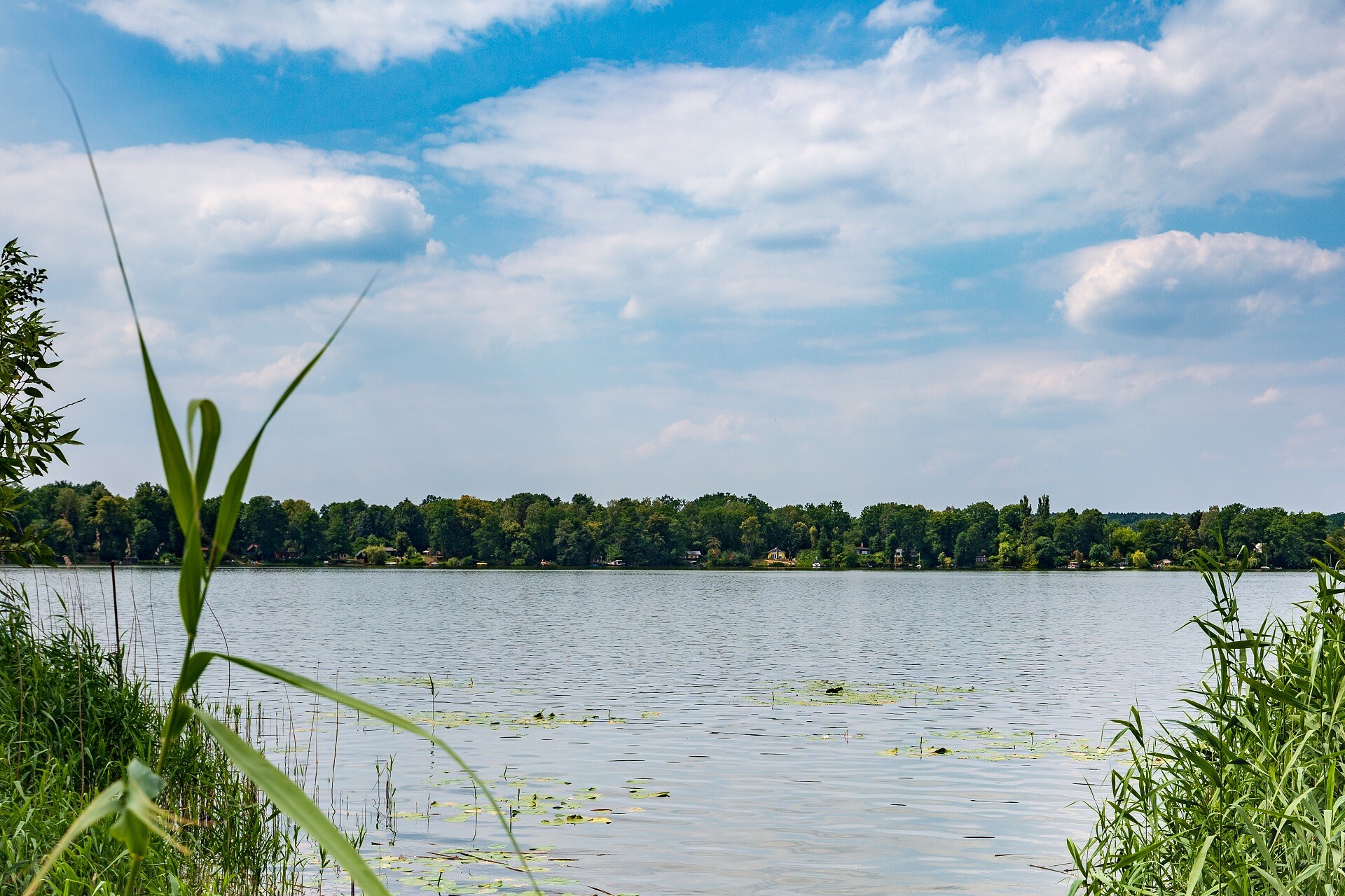
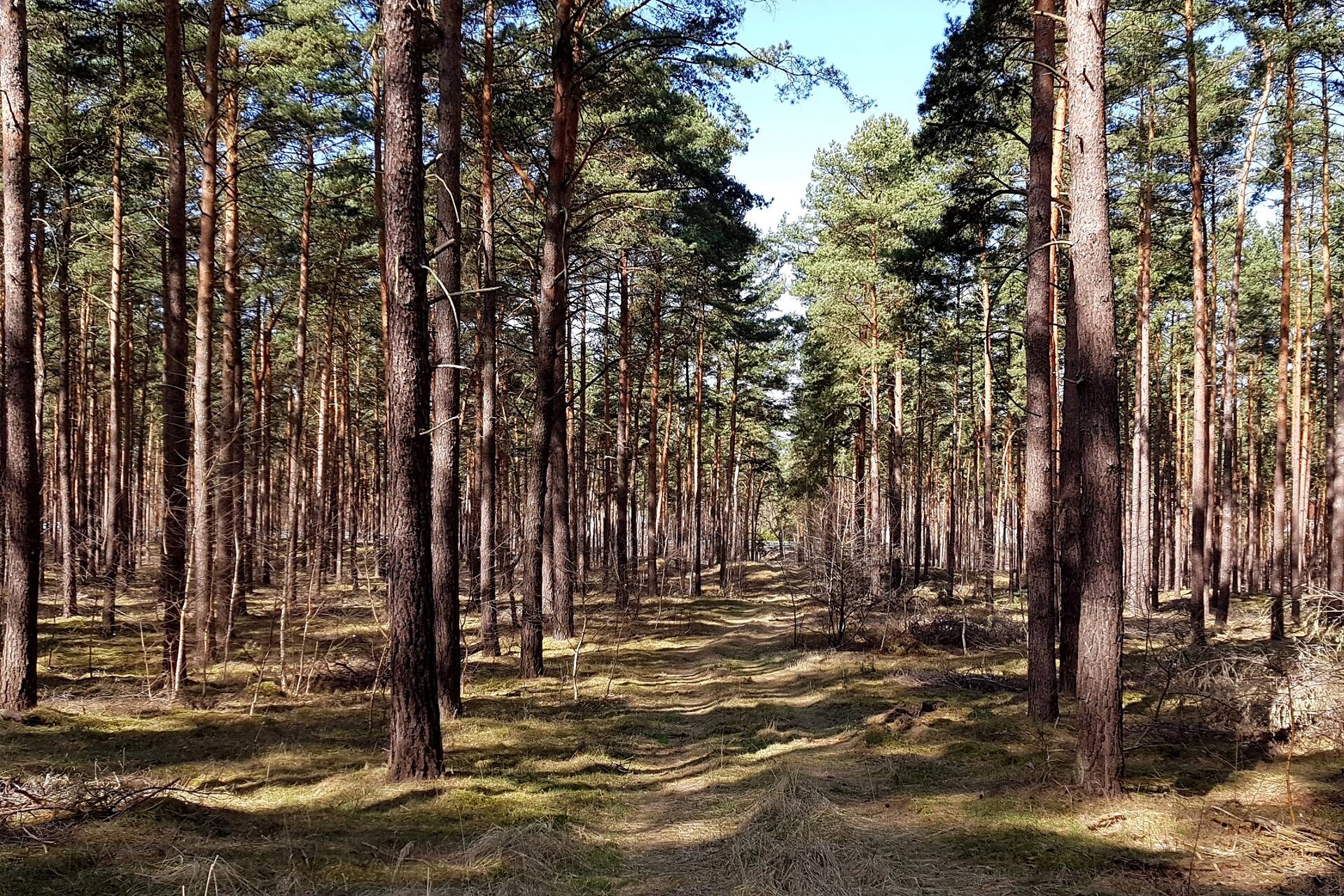
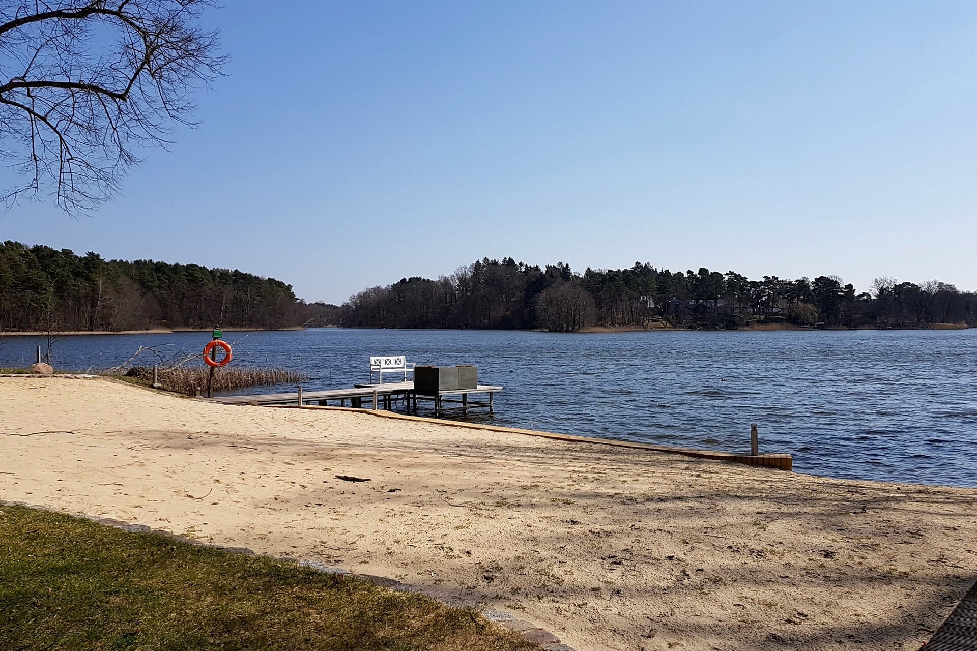
Tel.: +49 (0) 3375-252025

Weather Today, 18. 9.

17 20
overcast clouds

  • Friday
    17 26
  • Saturday
    16 29

All information, times and prices are regularly checked and updated. Nevertheless, we can not guarantee the accuracy of the data. We recommend that you inquire about the current status by phone / e-mail or via the provider's website before your visit.