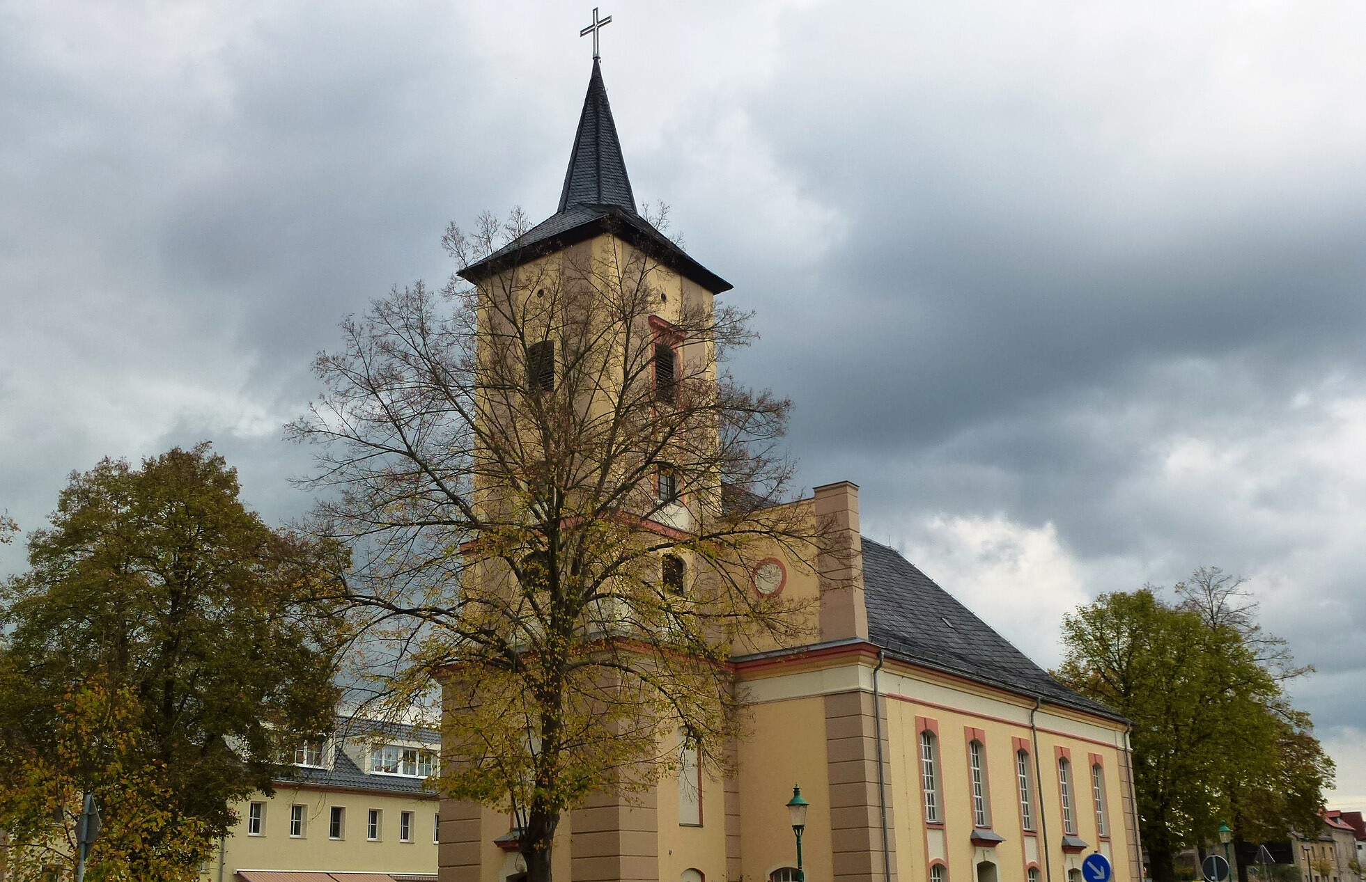
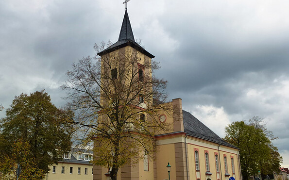
Märkisch Buchholz Town Walk

Hiking tours
Length: 7 km
0 Ratings of 5 (0)
0
0
0
0
0
How did you like your stay? You have already rated your stay.
Length: 7 km
From €
Show availability & price

p.P. = per person, p.P./N = per person / night, p.E./N = per unit / night, EZ = Single room, DZ = double room, FeWo = holiday home, App. = apartment, Suite = suite, FR = Breakfast, HP = half board, VP = full board
A walk through the little town of Märkisch Buchholz, which is also described as the “Gateway to the Spreewald Forest”. The town was first mentioned in documents in 1301 as the town and castle of “Buchholt”; it was rename “Märkisch Buchholz” in 1937. The Spree-Dahme flood canal links Lake Köthener See with the River Dahme. At the cascade weir, it overcomes an altitude difference of more than 6 metres. This is a great trip out for all the family.
Continue readingcollapse
  • Children's forest Märkisch Buchholz, Foto: Juliane Frank, Lizenz: Tourismusverband Dahme-Seenland e.V.
  • Märkisch Buchholz rest area, Foto: Günter Schönfeld, Lizenz: Tourismusverband Dahme-Seenland e.V.
  • Dahme-Umflutkanal, Foto: Dana Klaus, Lizenz: Tourismusverband Dahme-Seenland e.V.
  • Kirche Märkisch Buchholz, Foto: Petra Förster, Lizenz: Tourismusverband Dahme-Seenland e.V.
Length: about 7 kilometres, about 2 hours

Route marking:

green dot on a white background

Route:

Market square/Märkisch Buchholz church - Königs Wusterhausener Weg - bridge over the River Dahme - left towards Tierheim - weir with rest area - cycle road (Dahme Cycle Path) towards Märkisch Buchholz - cascade weir - Köthener Strasse - left over the Dahme flood canal - chamber lock - Leibscher Chaussee - Birkholzer Weg - Münchehofer Strasse - Friedrichstrasse - Gartenstrasse - market square/church

Points of interest along the route
  • Church, market square
  • Memorial to the fallen in both world wars
  • Cascade weir
  • Franz Fühmann memorial

How to get there by public transport:

  • Halbe station: regional train (RB)
  • Märkisch Buchholz market: Bus

Recommended maps:

  • “Stadtwanderung Märkisch Buchholz”, Flyer, Tourismusverband Dahme-Seenland e.V.
  • “Dahme-Seengebiet - Topographische Freizeitkarte 1:25.000 im Sonderblattschnitt mit Wanderwegen”, ISBN 978-3-7490-4078-0, Landesvermessung und Geobasisinformation Brandenburg, Euro 7

Continue readingcollapse
A walk through the little town of Märkisch Buchholz, which is also described as the “Gateway to the Spreewald Forest”. The town was first mentioned in documents in 1301 as the town and castle of “Buchholt”; it was rename “Märkisch Buchholz” in 1937. The Spree-Dahme flood canal links Lake Köthener See with the River Dahme. At the cascade weir, it overcomes an altitude difference of more than 6 metres. This is a great trip out for all the family.
Continue readingcollapse
  • Children's forest Märkisch Buchholz, Foto: Juliane Frank, Lizenz: Tourismusverband Dahme-Seenland e.V.
  • Märkisch Buchholz rest area, Foto: Günter Schönfeld, Lizenz: Tourismusverband Dahme-Seenland e.V.
  • Dahme-Umflutkanal, Foto: Dana Klaus, Lizenz: Tourismusverband Dahme-Seenland e.V.
Length: about 7 kilometres, about 2 hours

Route marking:

green dot on a white background

Route:

Market square/Märkisch Buchholz church - Königs Wusterhausener Weg - bridge over the River Dahme - left towards Tierheim - weir with rest area - cycle road (Dahme Cycle Path) towards Märkisch Buchholz - cascade weir - Köthener Strasse - left over the Dahme flood canal - chamber lock - Leibscher Chaussee - Birkholzer Weg - Münchehofer Strasse - Friedrichstrasse - Gartenstrasse - market square/church

Points of interest along the route
  • Church, market square
  • Memorial to the fallen in both world wars
  • Cascade weir
  • Franz Fühmann memorial

How to get there by public transport:

  • Halbe station: regional train (RB)
  • Märkisch Buchholz market: Bus

Recommended maps:

  • “Stadtwanderung Märkisch Buchholz”, Flyer, Tourismusverband Dahme-Seenland e.V.
  • “Dahme-Seengebiet - Topographische Freizeitkarte 1:25.000 im Sonderblattschnitt mit Wanderwegen”, ISBN 978-3-7490-4078-0, Landesvermessung und Geobasisinformation Brandenburg, Euro 7

Continue readingcollapse

Arrival planner

Am Markt

15748 Märkisch Buchholz

Weather Today, 19. 4.

6 6
light rain

  • Saturday
    1 7
  • Sunday
    -1 8

Brochures

Tourist information

Tourismusverband Dahme Seenland e.V.

Bahnhofsvorplatz 5
15711 Königs Wusterhausen

Tel.: +49 (0) 3375-252025

Weather Today, 19. 4.

6 6
light rain

  • Saturday
    1 7
  • Sunday
    -1 8

All information, times and prices are regularly checked and updated. Nevertheless, we can not guarantee the accuracy of the data. We recommend that you inquire about the current status by phone / e-mail or via the provider's website before your visit.

(+49) +49(0)331 2004747​ We are available for you via telephone: weekdays Mon – Fri 9 am – 1 pm and Oct. 31 from 9 am – 1 pm.

Thank you for your enquiry!

In case your enquiry did not result in a booking, we will be getting in touch with you as quickly as possible during our service hours from Monday to Friday from 9 a.m. - 6 p.m.

We are also glad to answer all of your questions surrounding the State of Brandenburg at (+49)(0)331- 200 47 47. Please send us an e-mail at service@reiseland-brandenburg.de.

Your information and travel agency service Brandenburg

Your request was not successful!

Please try again later. Thank you.

Your information and travel agency service Brandenburg

Online booking


Thank you for visiting www.brandenburg-tourism.com

This website has been developed with the latest technology. Unfortunately, you are using a browser that does not meet the latest technical requirements.

We therefore ask you to use an alternative browser (E.g. Google Chrome, Firefox or Edge) and we hope you enjoy browsing our website.