7 Lakes Tour

Bike tours
Length: 34 km
0 Ratings of 5 (0)
0
0
0
0
0
How did you like your stay? You have already rated your stay.
Length: 34 km
From €
Show availability & price

p.P. = per person, p.P./N = per person / night, p.E./N = per unit / night, EZ = Single room, DZ = double room, FeWo = holiday home, App. = apartment, Suite = suite, FR = Breakfast, HP = half board, VP = full board
The city of Brandenburg uses its supplement “Havel” not only to distinguish itself from the federal state of the same name: the aim is to instantly make tourists aware of the distinctive charm of this “cradle of the Marches”, especially since its location on the waterfront is not limited to the river. On the tour between Brandenburg and the Kirchmöser district, cyclists can see for themselves how the Havel fills a large basin on the western edge of the city. It is so large that it bears the names of several lakes. This “ocean” provides a wide range of beautiful resting and picnic spots for day trippers.
Continue readingcollapse
  • 7-Seen-Tour an der Jahrtausendbrücke, Foto: STG Stadtmarketing- und Tourismusgesellschaft Brandenburg an der Havel mbH, Lizenz: STG Stadtmarketing- und Tourismusgesellschaft Brandenburg an der Havel mbH
  • 7-Seen-Tour am Wohlfahrtsforum, Foto: Ulf Boettcher, Lizenz: Ulf Boettcher
  • 7-Seen-Tour am Silokanal, Foto: Neihs, Lizenz: Neihs
  • 7-Seen-Tour Schloss Plaue, Foto: Ulf Boettcher, Lizenz: Ulf Boettcher
  • 7-Seen-Tour in Brandenburg an der Havel, Foto: Franziska Guenther, Lizenz: Franziska Guenther
Length: 34 kilometres

Start/finish: Brandenburg an der Havel

Logo/route sign: green and blue sign with white reed symbol

Directions:
  • Train: From Berlin Zoologischer Garten to Brandenburg a.d. Havel (approximately 1 hour).
  • Car: From Berlin via the A115 and A2 to Brandenburg a.d. Havel (approximately 1.5 hours).


Route: Brandenburg a.d. Havel, Neustadt, Altstadt, Kirchmöser, Plaue, Wilhelmsdorf, Brandenburg a.d. Havel

Points of interest/background information:

  • Brandenburg an der Havel: Archäologisches Landesmuseum im Paulikloster (archaeological museum), St. Katharinenkirche church, historic town hall with Roland statue
  • Kirchmöser: water tower, Industrielehrpfad (industrial history trail)
  • Plaue: palace and park, fisherman's village
  • Malge: Nature trail and display panels


Possible combinations

  • Havel Cycle Path
  • Tour Brandenburg


Trail conditions/surface: The route is mainly asphalted, no significant elevation gain

Maps/Literature:

  • "Potsdam – Havelland – Fläming: Fahrradkarte", 1:70000, KOMPASS-Karten; Auflage: 3 (1. März 2016), ISBN-13: 978-3850262729, Euro 7.99
  • "Naturpark Westhavelland Süd: Topographische Freizeitkarte", 1:50.000, Landesvermessung und Geobasisinformation Brandenburg, Auflage: Neuauflage. (1. November 2012), ISBN-13: 978-3749040803, Euro 6

Continue readingcollapse

Arrival planner

Neustädtischer Markt 3

14776 Brandenburg an der Havel
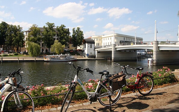
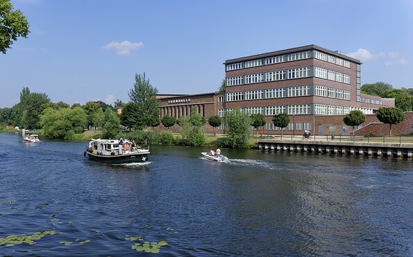
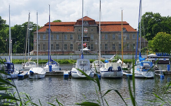
Weather Today, 18. 9.

15 20
overcast clouds

  • Friday
    16 26
  • Saturday
    17 28

Tourist information

Tourismusverband Havelland e.V.

Theodor-Fontane-Straße 10
14641 Nauen OT Ribbeck

Tel.: +49 (0) 33237-859030
Fax: +49 (0) 33237-859040

Weather Today, 18. 9.

15 20
overcast clouds

  • Friday
    16 26
  • Saturday
    17 28

All information, times and prices are regularly checked and updated. Nevertheless, we can not guarantee the accuracy of the data. We recommend that you inquire about the current status by phone / e-mail or via the provider's website before your visit.