Address
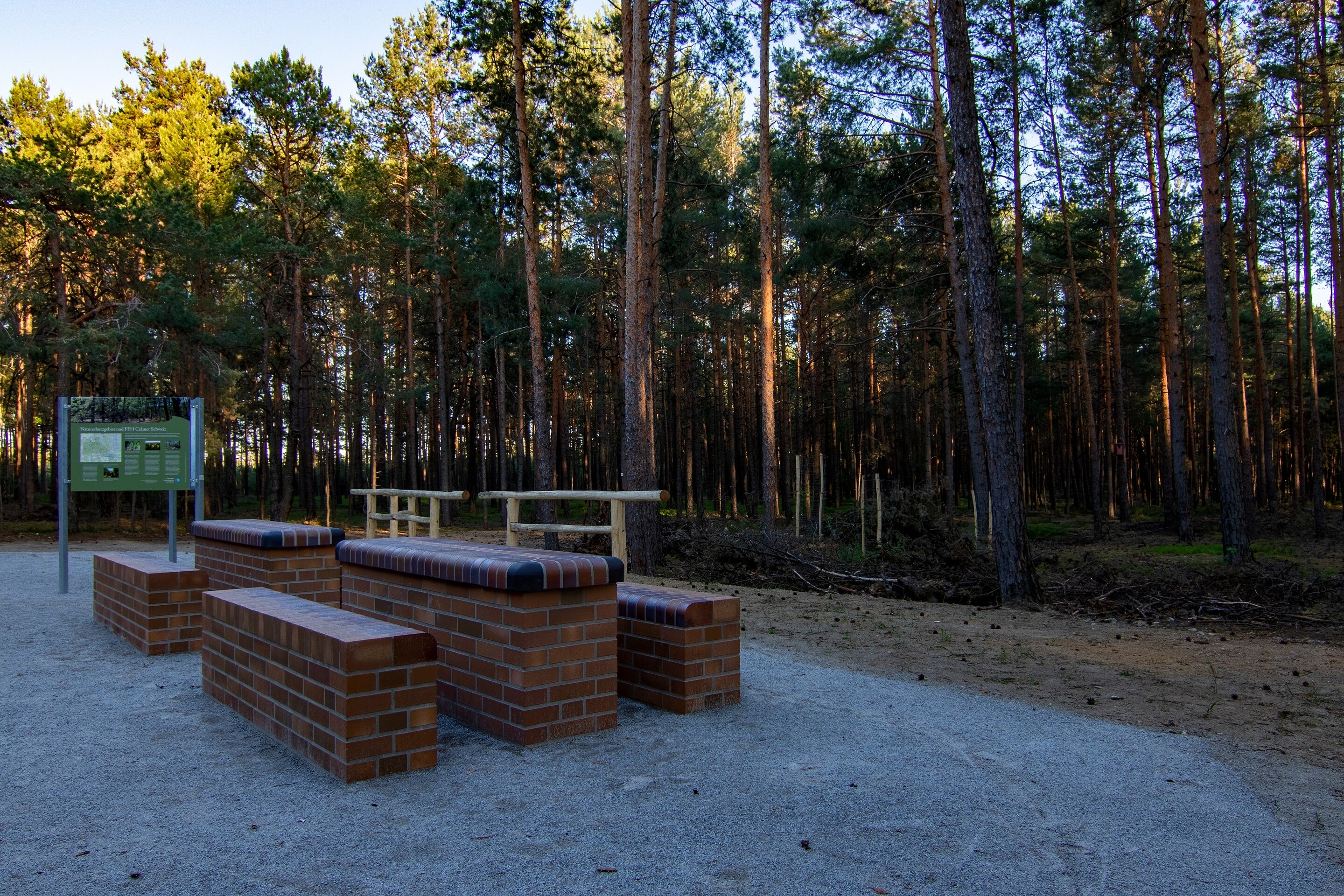
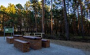
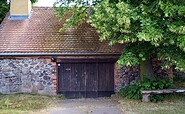
Parkplatz
03229 Luckaitztal OT Weißag
03229 Luckaitztal OT Weißag
Parkplatz
03229 Luckaitztal OT Weißag
03229 Luckaitztal OT Weißag
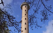
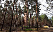
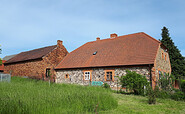
Cottbuser Straße 32
03205 Calau
03205 Calau
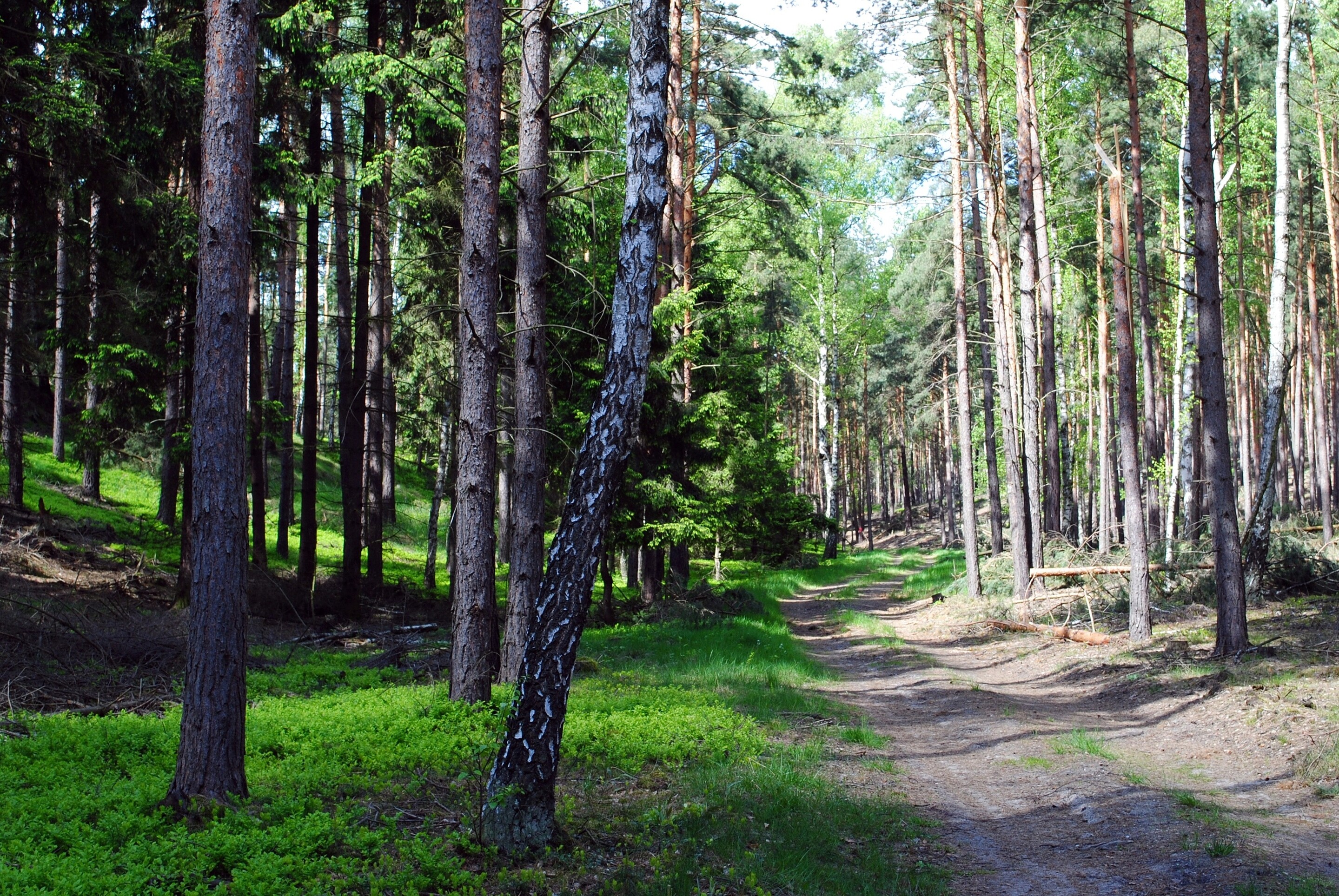
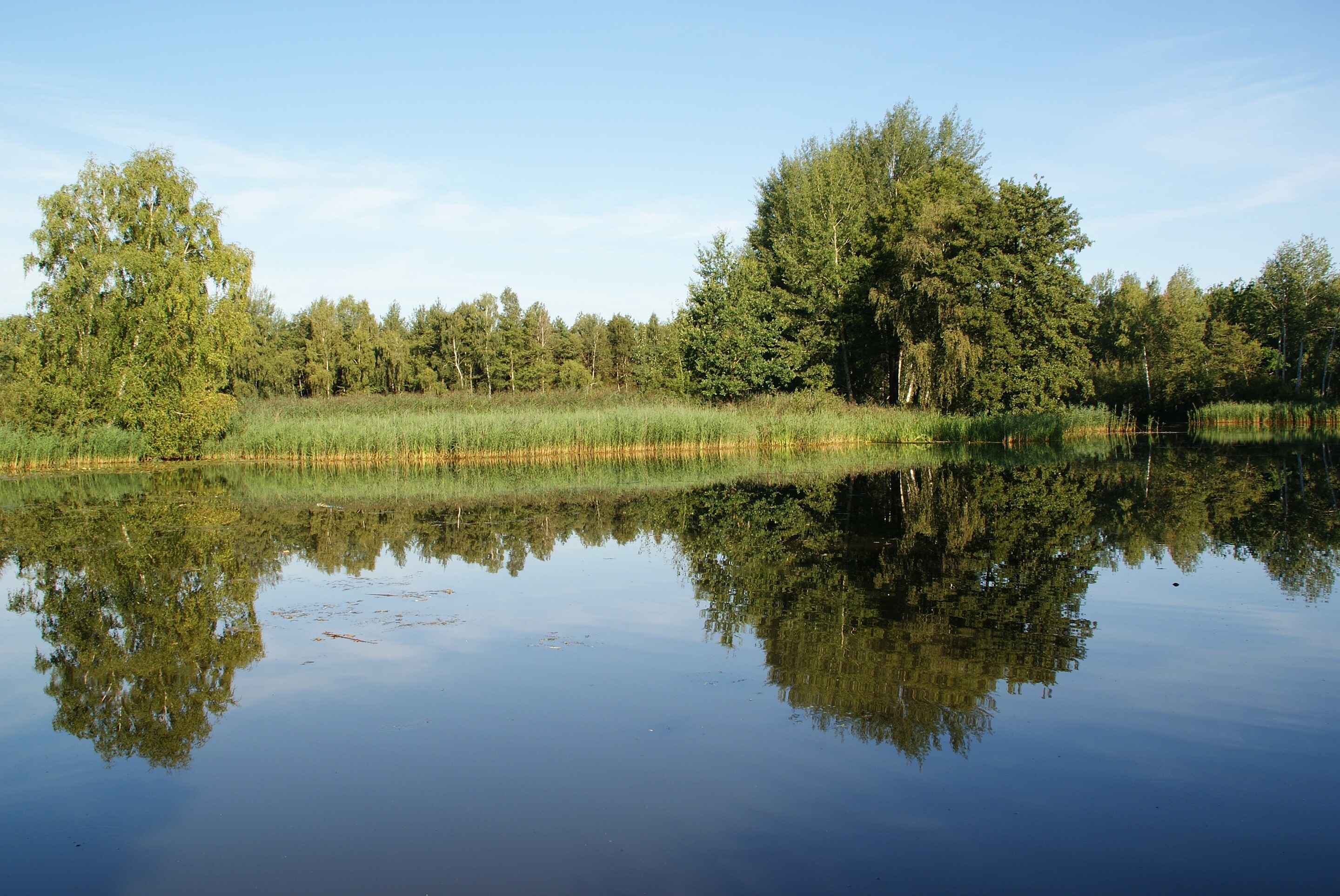
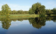
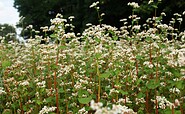
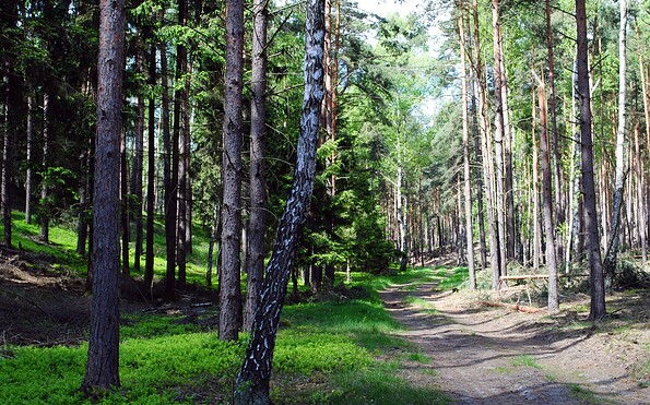
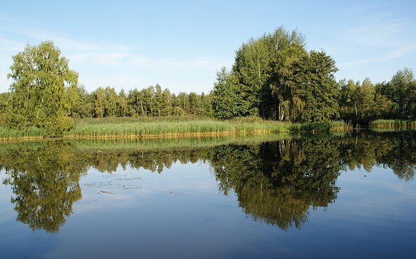
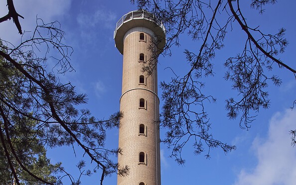
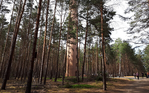
This tour leads through the region: Lausitzer Seenland