Address
Am Anger 15
01990 Großkmehlen
01990 Großkmehlen
Am Anger 15
01990 Großkmehlen
01990 Großkmehlen
Am Stadthafen 2
01968 Senftenberg
01968 Senftenberg
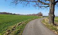
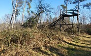
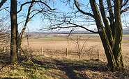
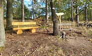
This tour leads through the region: Lausitzer Seenland