Address
Seestraße 120
16866 Kyritz
16866 Kyritz
Seestraße 120
16866 Kyritz
16866 Kyritz
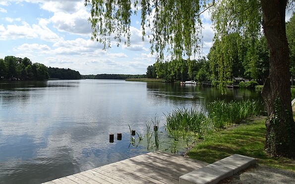
Start/Ziel Standbad Kyritz
Seestraße 120
16866 Kyritz
Seestraße 120
16866 Kyritz
This tour leads through the region: Prignitz