A visit to Lake Straussee local tour - Discovery Tour

Hiking tours
Length: 11 km
0 Ratings of 5 (0)
0
0
0
0
0
How did you like your stay? You have already rated your stay.
Hiking tours
Length: 11 km
From €
Show availability & price

p.P. = per person, p.P./N = per person / night, p.E./N = per unit / night, EZ = Single room, DZ = double room, FeWo = holiday home, App. = apartment, Suite = suite, FR = Breakfast, HP = half board, VP = full board
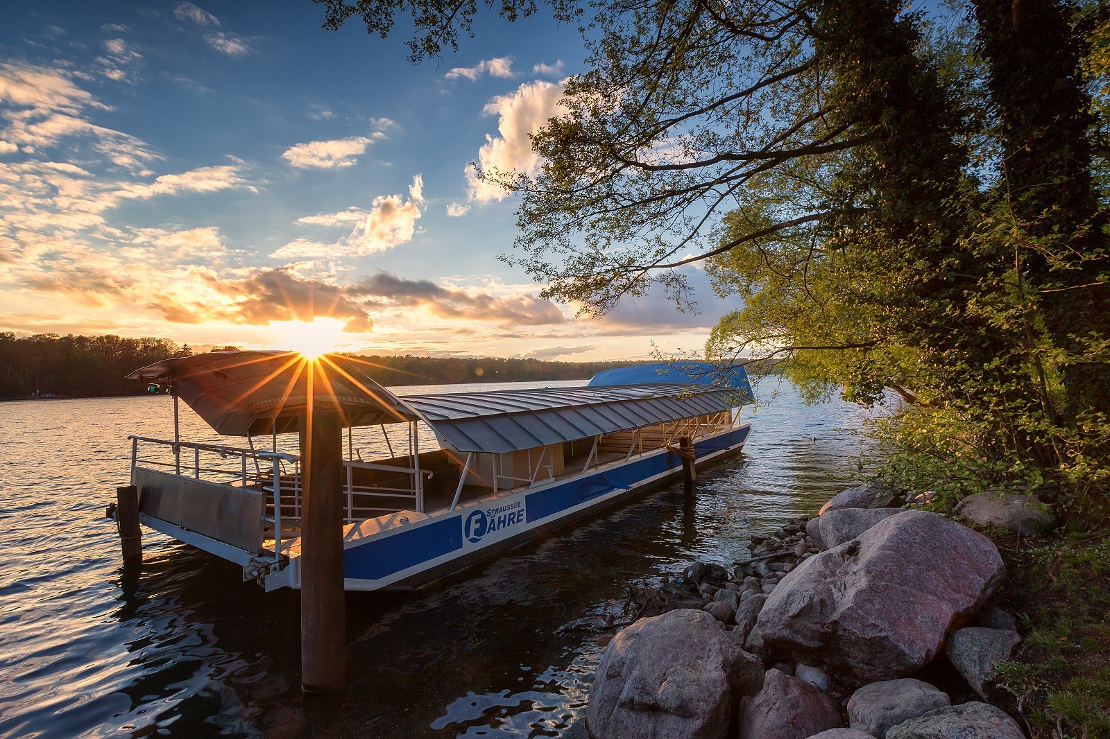
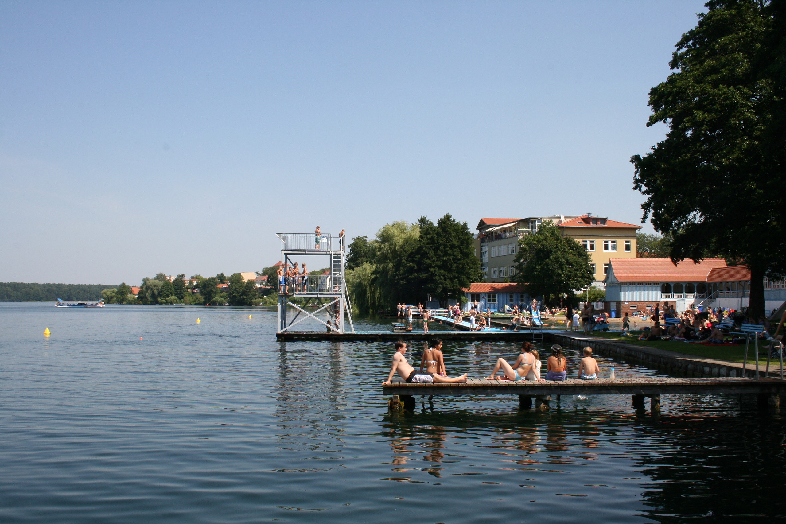
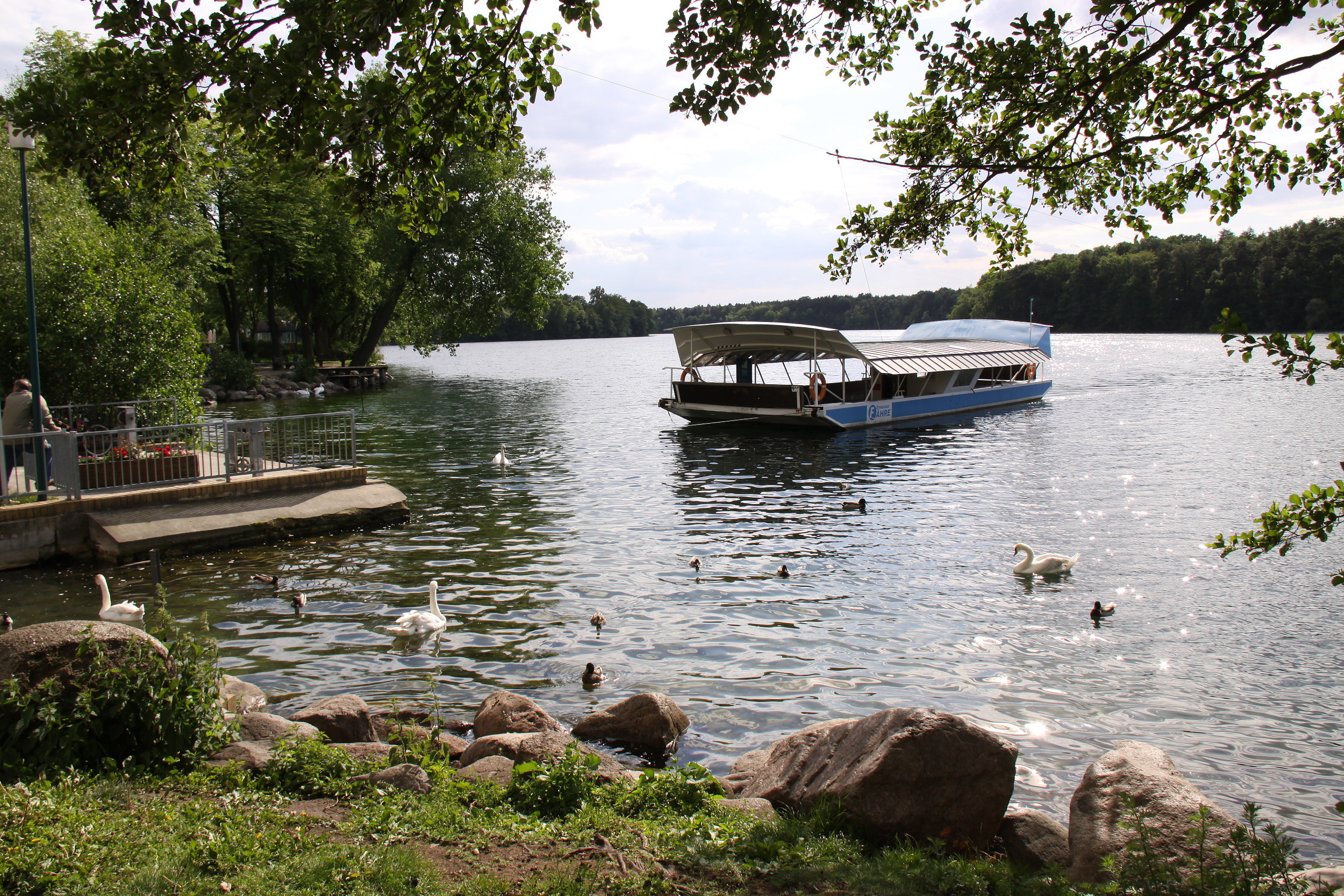
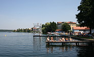
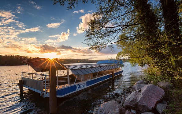
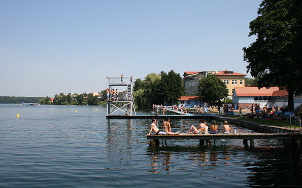
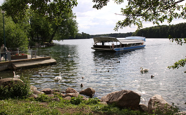
One of the most idyllic trips is on Lake Straussee, which stretches alongside the town of Strausberg. It attracts thousands of bathing fans every year. And don’t miss the opportunity to use the ferry, which is unique in Europe and connects the town side with the forest side of the lake. It is operated by power supplied from an overhead cable. This is an ideal starting point for lengthy walks.
Continue readingcollapse
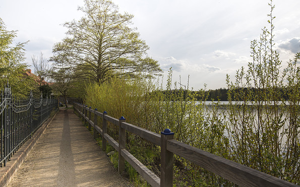
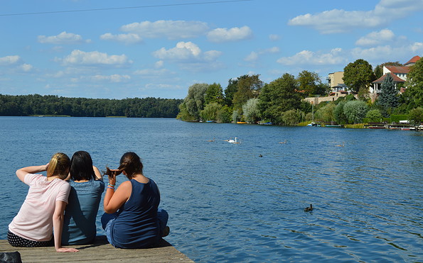
Am Straussee, Foto: TMB-Fotoarchiv/Steffen Lehmann
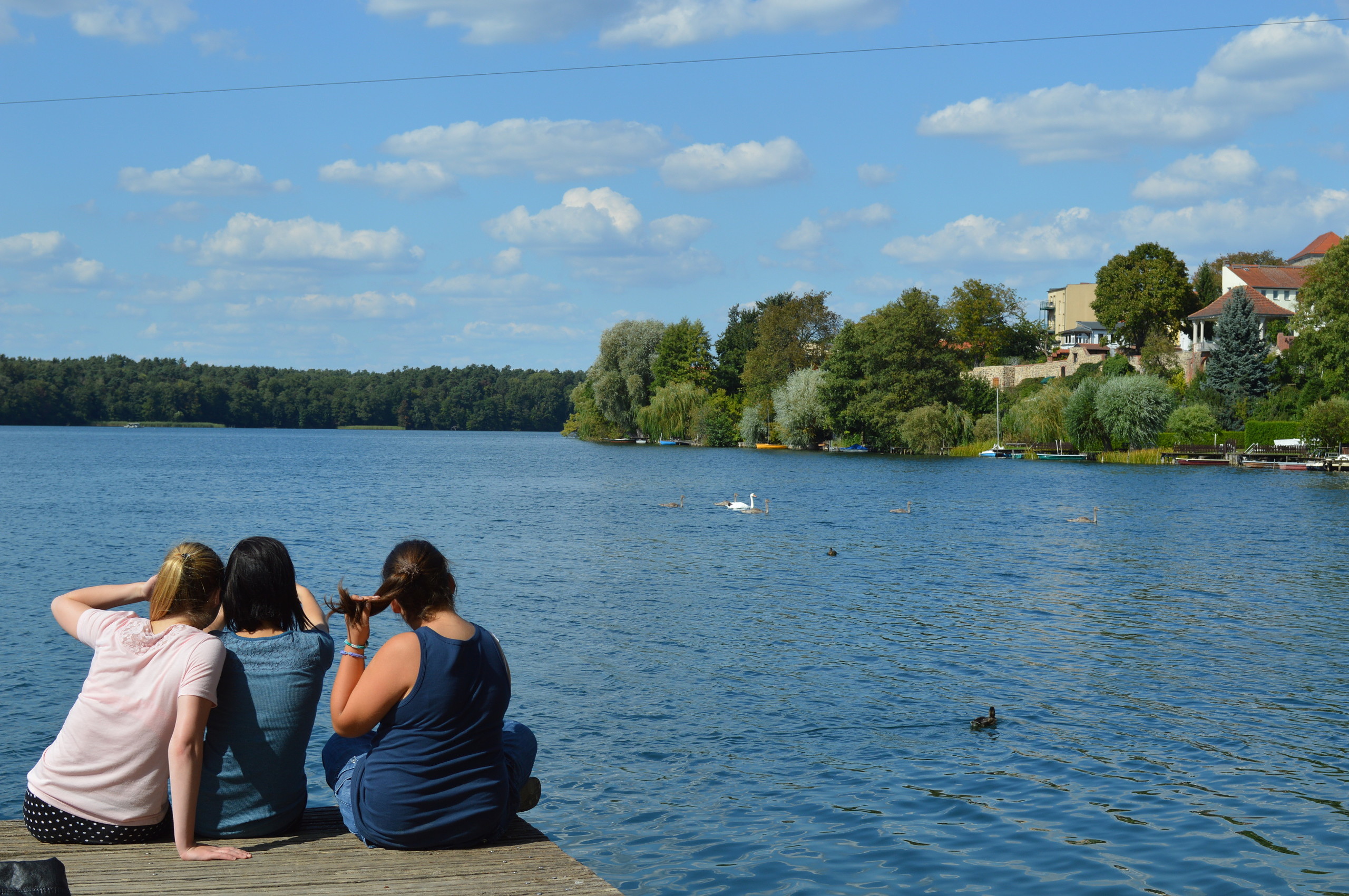
Am Straussee, Foto: Stadt- und Touristinformation Strausberg
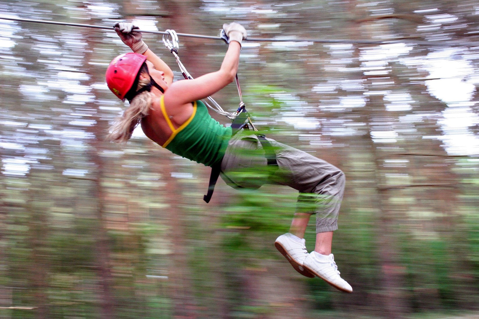
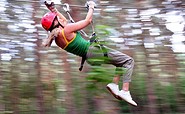
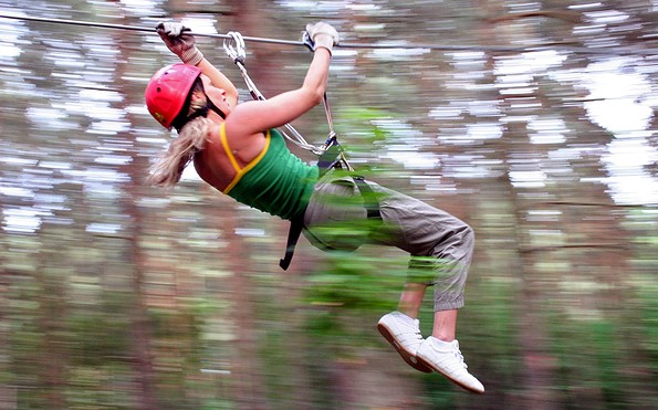
CLIMP UP Kletterwelten, Foto: CLIMB UP
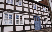
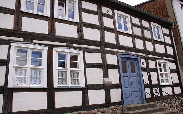
Strausberger Altstadt, Foto: Michael Schön
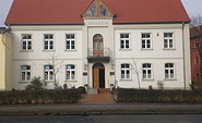
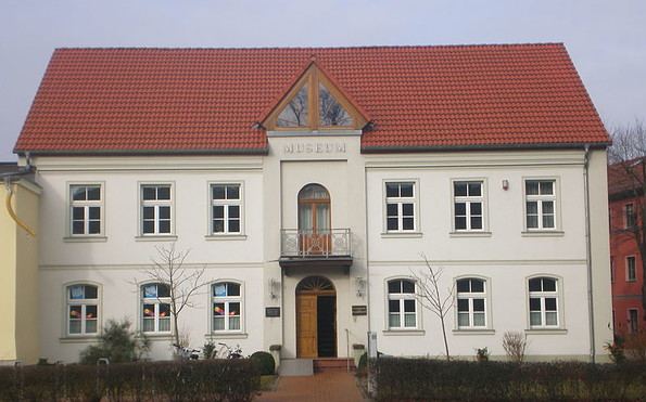
Stadtmuseum Strausberg, Foto: Stadt- und Touristinformation Strausberg
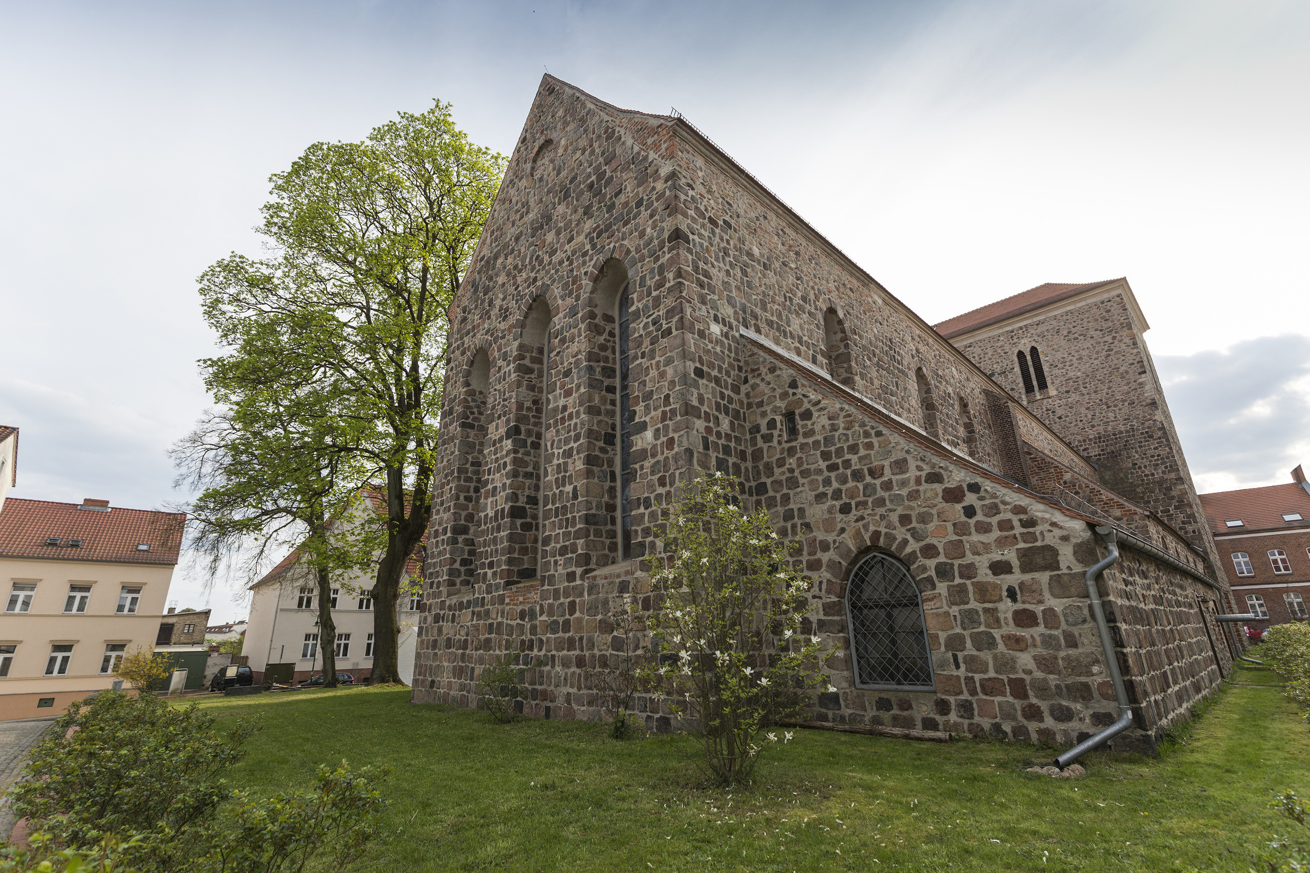
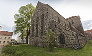
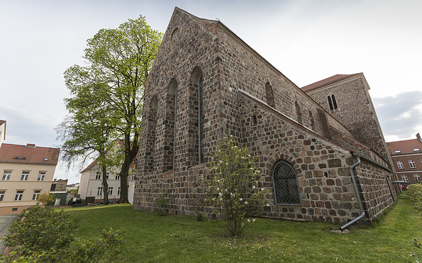
Kirche Strausberg, Foto: TMB-Fotoarchiv/Steffen Lehmann
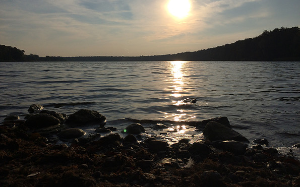
Straussee, Foto: Stadt- und Touristinformation Strausberg
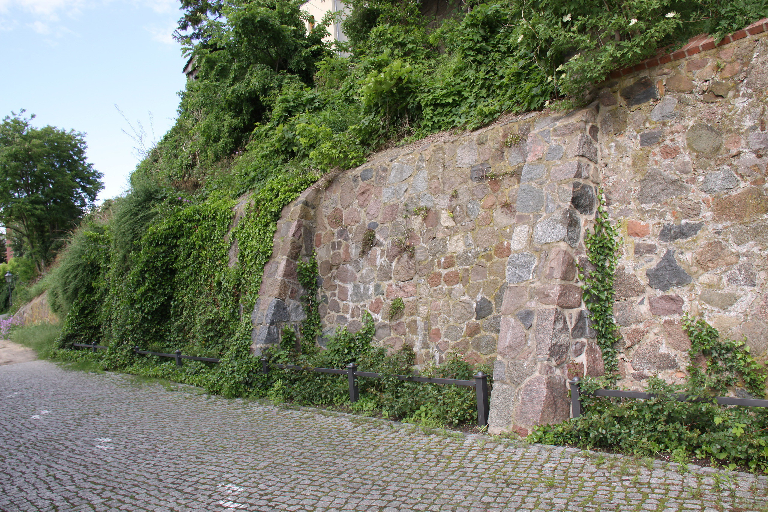
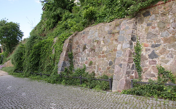
Strausberger Stadtmauer, Foto: Michael Schön
Am Straussee, Foto: Stadt- und Touristinformation Strausberg
StrausseeFähre, Foto Michael Schön
Strausseefähre am Straussee, Foto: Seenland Oder-Spree e.V./Florian Läufer
Length: 11 kilometres (3 hours)

Start: Strausberg S-Bahn station

Finish: Strausberg-Stadt S-Bahnhof station

Logo/route sign: Not specified

How to get there: Take the S5 from Berlin central station (Hauptbahnhof) to Strausberg S-Bahn station (about 1 hour).

Return journey: From Strausberg-Stadt S-Bahn station, take the S5 (Spandau) to Berlin central station (Hauptbahnhof) (about 1 hour).

Route: Strausberg Vorstadt, Hegermühle, Weinberge, Strausberg Nord

Sights:
  • Airfield Museum
  • Local history museum
  • St. Marienkirche church
  • Sports and relaxation park
  • CLIMB UP! Adventure park


Possible combinations:

  • 66-Lakes Trail


Underfoot conditions/surface: Not specified

Maps/Literature:

  • "Radwander- und Wanderkarte Barnimer Feldmark: Ausflüge zwischen Marzahn, Bernau, Strausberg und Altlandsberg", 1:35,000, Verlag: Barthel, A., Auflage: 3 (1. Juli 2015), ISBN-13: 978-3895910869, Euro 4.90

Continue readingcollapse
One of the most idyllic trips is on Lake Straussee, which stretches alongside the town of Strausberg. It attracts thousands of bathing fans every year. And don’t miss the opportunity to use the ferry, which is unique in Europe and connects the town side with the forest side of the lake. It is operated by power supplied from an overhead cable. This is an ideal starting point for lengthy walks.
Continue readingcollapse
Am Straussee, Foto: TMB-Fotoarchiv/Steffen Lehmann
Am Straussee, Foto: Stadt- und Touristinformation Strausberg
CLIMP UP Kletterwelten, Foto: CLIMB UP
Strausberger Altstadt, Foto: Michael Schön
Stadtmuseum Strausberg, Foto: Stadt- und Touristinformation Strausberg
Kirche Strausberg, Foto: TMB-Fotoarchiv/Steffen Lehmann
Straussee, Foto: Stadt- und Touristinformation Strausberg
Strausberger Stadtmauer, Foto: Michael Schön
Am Straussee, Foto: Stadt- und Touristinformation Strausberg
StrausseeFähre, Foto Michael Schön
Strausseefähre am Straussee, Foto: Seenland Oder-Spree e.V./Florian Läufer
Length: 11 kilometres (3 hours)

Start: Strausberg S-Bahn station

Finish: Strausberg-Stadt S-Bahnhof station

Logo/route sign: Not specified

How to get there: Take the S5 from Berlin central station (Hauptbahnhof) to Strausberg S-Bahn station (about 1 hour).

Return journey: From Strausberg-Stadt S-Bahn station, take the S5 (Spandau) to Berlin central station (Hauptbahnhof) (about 1 hour).

Route: Strausberg Vorstadt, Hegermühle, Weinberge, Strausberg Nord

Sights:
  • Airfield Museum
  • Local history museum
  • St. Marienkirche church
  • Sports and relaxation park
  • CLIMB UP! Adventure park


Possible combinations:

  • 66-Lakes Trail


Underfoot conditions/surface: Not specified

Maps/Literature:

  • "Radwander- und Wanderkarte Barnimer Feldmark: Ausflüge zwischen Marzahn, Bernau, Strausberg und Altlandsberg", 1:35,000, Verlag: Barthel, A., Auflage: 3 (1. Juli 2015), ISBN-13: 978-3895910869, Euro 4.90

Continue readingcollapse

Arrival planner

Bahnhofstraße

15344 Strausberg

Weather Today, 12. 9.

15 20
broken clouds

  • Sunday
    11 18
  • Monday
    10 20

Tourist information

Tourismusverband Seenland Oder-Spree e.V.
Ulmenstraße 15
15526 Bad Saarow

Tel.: +49 (0) 33631-868100
Fax: +49 (0) 33631-868102

Weather Today, 12. 9.

15 20
broken clouds

  • Sunday
    11 18
  • Monday
    10 20

All information, times and prices are regularly checked and updated. Nevertheless, we can not guarantee the accuracy of the data. We recommend that you inquire about the current status by phone / e-mail or via the provider's website before your visit.

Call the TMB holiday hotline at +49 (0)331-200 47 47 +49(0)331 2004747​ We are available for you via telephone: weekdays Mon – Fri 9 am – 1 pm and Oct. 31 from 9 am – 1 pm.
Online booking

Thank you for visiting www.brandenburg-tourism.com

This website has been developed with the latest technology. Unfortunately, you are using a browser that does not meet the latest technical requirements.

We therefore ask you to use an alternative browser (E.g. Google Chrome, Firefox or Edge) and we hope you enjoy browsing our website.

Logo www.brandenburg-tourism.com