From Straussee to Annatal on the 66 lakes hiking trail (stage 10)

Hiking tours
Length: 10 km
0 Ratings of 5 (0)
0
0
0
0
0
How did you like your stay? You have already rated your stay.
Hiking tours
Length: 10 km
From €
Show availability & price

p.P. = per person, p.P./N = per person / night, p.E./N = per unit / night, EZ = Single room, DZ = double room, FeWo = holiday home, App. = apartment, Suite = suite, FR = Breakfast, HP = half board, VP = full board


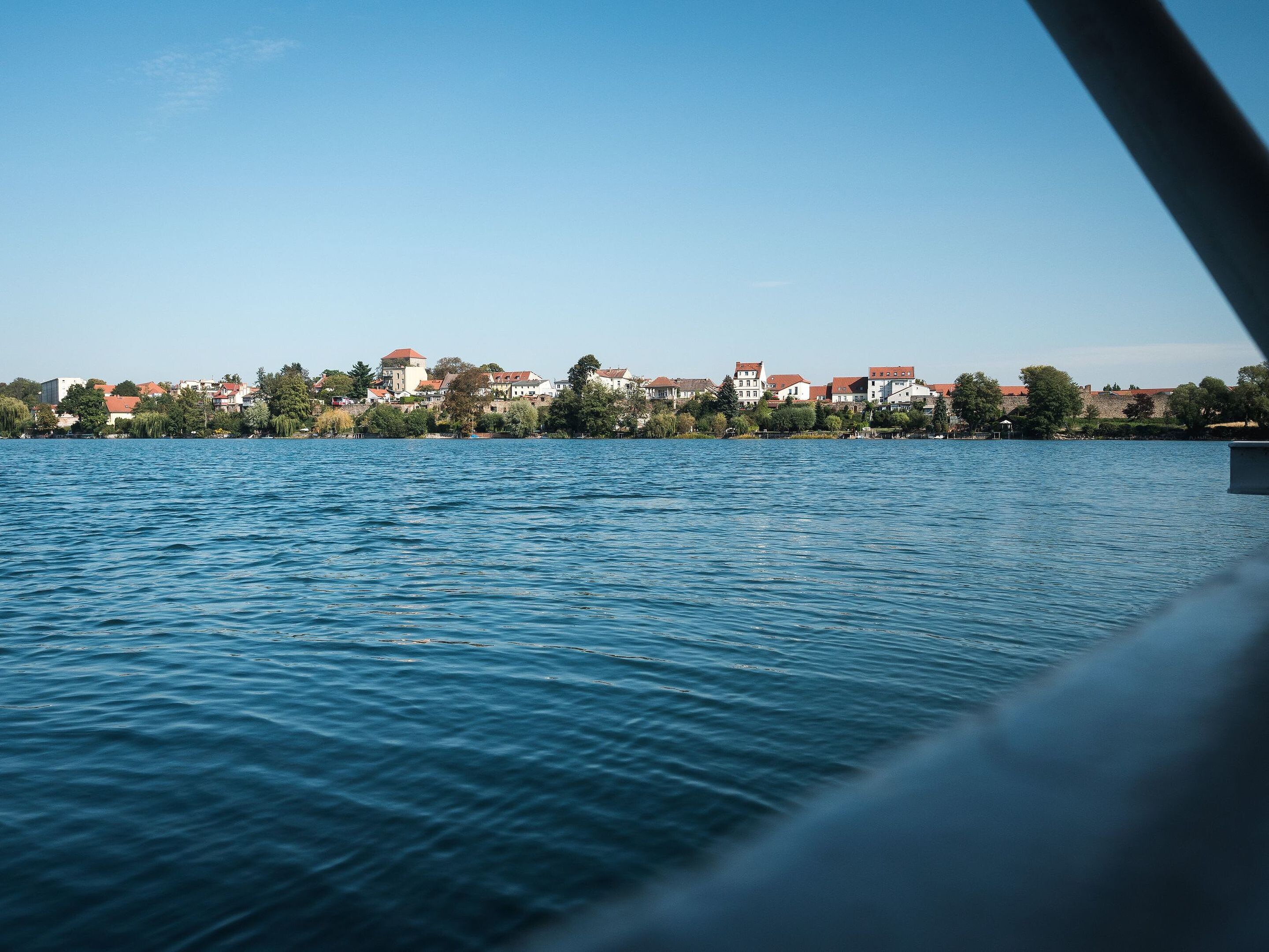
More of a stroll than a hike: this short route links Strausberg’s old town with the peaceful woodland and lakeside scenery on the outskirts of the town. From the shores of Lake Straussee, the route winds through small woods, past Lake Herrensee – framed by belts of reeds – and continues along the Annafließ stream. An imposing waterwheel and the dammed-up Schwanenteich still bear witness to the many mills that once stood there. From there, it is not far to the end of this relaxed, highlight-packed half-day tour.


Length: 10.5 km, duration: approx. 3 hours

Start: Strausberg city

Destination: Strausberg train station

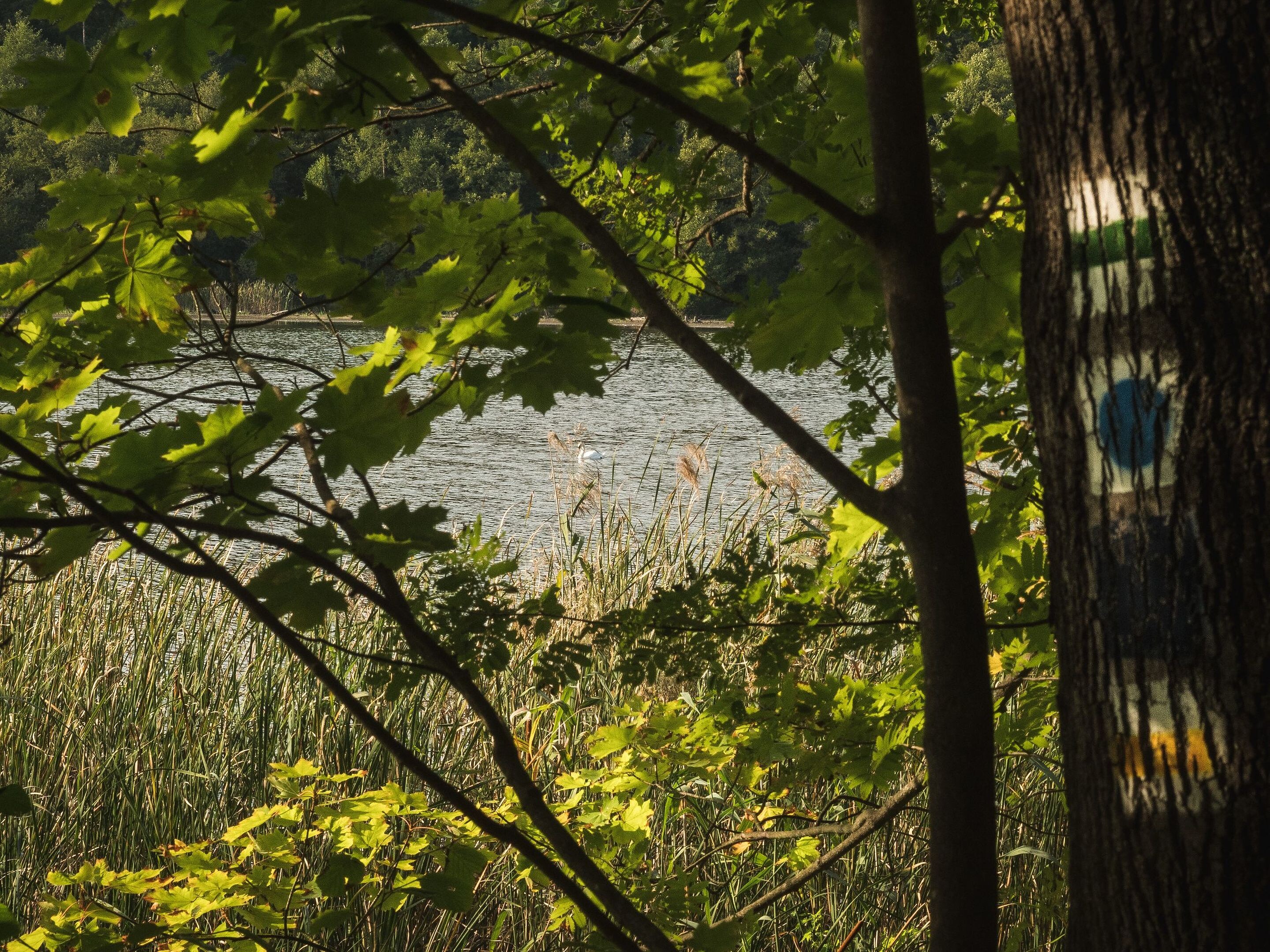
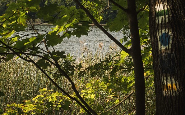
Logo / route marking: Blue point on a white background

Arrival by public transport: From Berlin main station with the S5 (Strausberg Nord) to Strausberg Stadt (approx. 1 hour)

Departure public transport: From Strausberg train station with the S5 (Berlin Westkreuz) to Berlin central station (approx. 1 hour)

Course: Strausberg city, Straussee, Herrensee, Annatal, Hegermühle, Strausberg train station


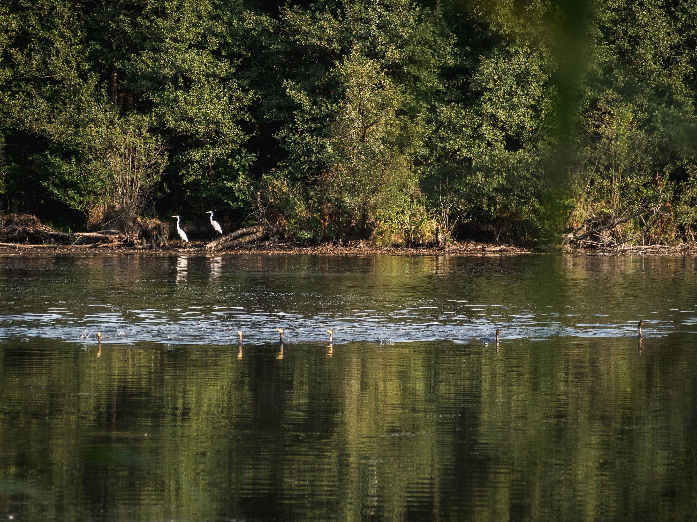
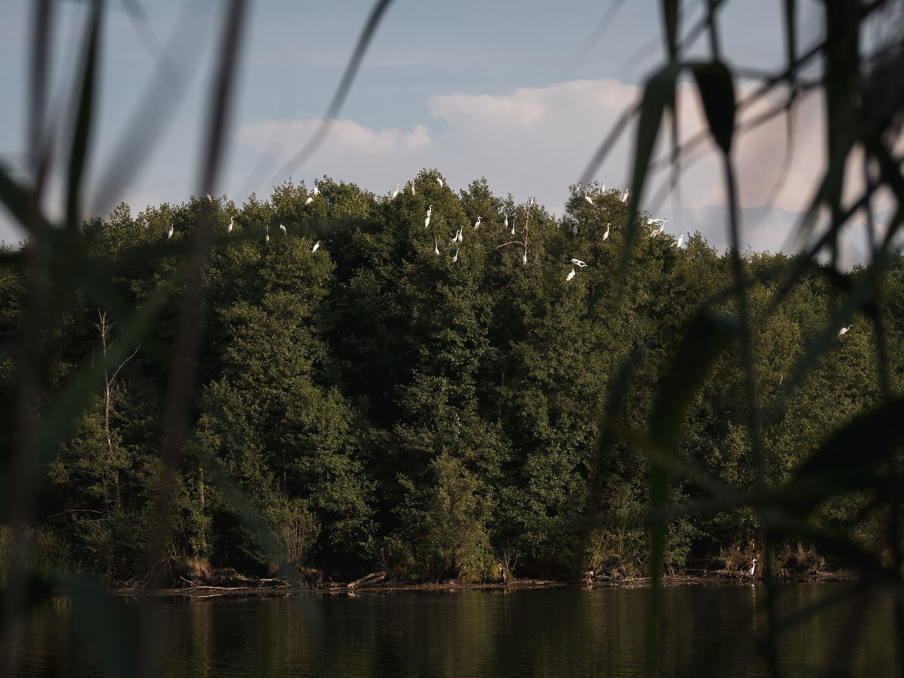
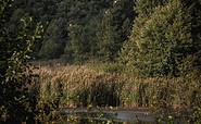
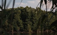
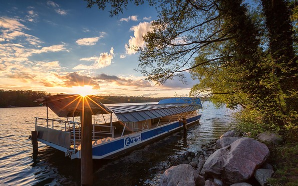
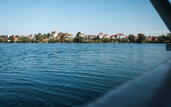
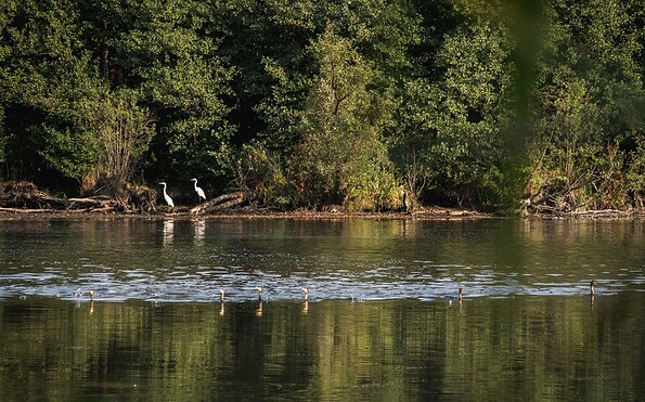
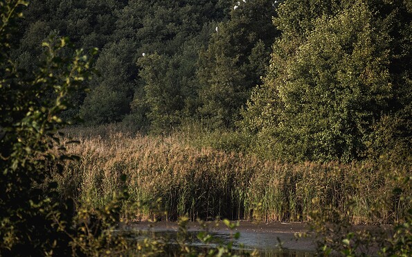
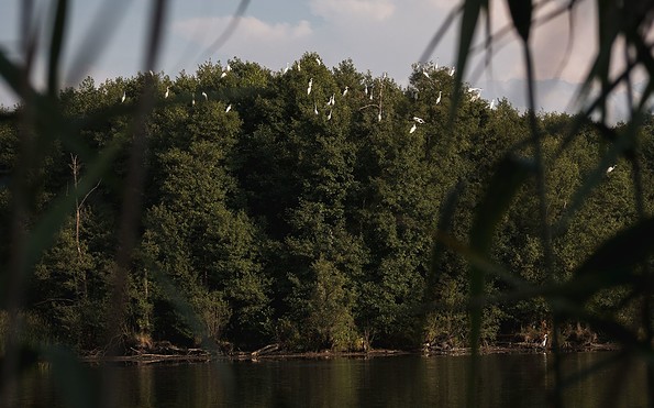
How to get there / Interesting facts: From Strausberg Stadt S-Bahn station, you can walk through the old town to the lakeside promenade, which features a ferry landing stage and a historic lido. At the Käthe-Kollwitz-Straße tram stop, the 66-Lakes Hiking Trail branches off from the Straussee. Soon you pass through a wooded area to reach Herrensee, a tranquil gem with many islets, lined with alders and belts of reeds. Rare waterbirds such as little egrets and grey herons live here. A narrow path follows the shore to the bridge where the Annafließ leaves the lake and continues to accompany the route for quite some time. Near the Hegermühle S-Bahn station, you pass under the railway line. Passing the remains of an old watermill, the route winds its way through the wooded valley of the Annafließ. After a prolonged dry spell, the stream’s course disappears in places into the soft ground, until the landscape reveals its lush, overgrown side once more at Schwanensee. The route then follows a few short stretches of road before the stage ends at Strausberg station, with a fast connection to Berlin.


Sights:


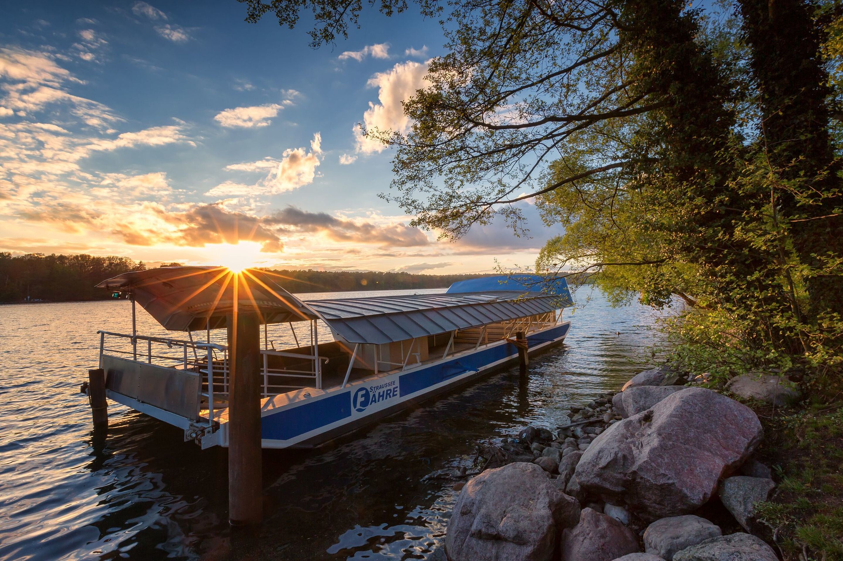
  • Straussee ferry
  • Herrensee
  • Annatal / Annafließ

Route characteristics / route expansion: Mixture of paved and unpaved roads

Maps / literature:

  • "66-Seen-Weg, Hikeline hiking guide", publisher: Esterbauer GmbH, edition: 3 (2019), ISBN: 978-3-85000-760-3, 11.90 euros
  • "66-Seen-Wanderung, Zu den Naturschönheiten rund um Berlin", publisher: Trescher Verlag, edition: 10. (2024), ISBN 978-3-89794-623-1, 16,95 euros


Continue readingcollapse
  • on the Straussee ferry, Foto: Christoph Creutzburg, Lizenz: Seenland Oder-Spree
  • Herrensee, Foto: Christoph Chreutzburg, Lizenz: Seenland Oder-Spree
  • Herrensee, Foto: Christoph Creutzburg, Lizenz: Seenland Oder-Spree
  • Herrensee, Foto: Christoph Creutzburg, Lizenz: Seenland Oder-Spree
  • Herrensee, Foto: Christoph Creutzburg, Lizenz: Seenland Oder-Spree
  • Straussee ferry, Foto: Florian Läufer, Lizenz: Seenland Oder-Spree


More of a stroll than a hike: this short route links Strausberg’s old town with the peaceful woodland and lakeside scenery on the outskirts of the town. From the shores of Lake Straussee, the route winds through small woods, past Lake Herrensee – framed by belts of reeds – and continues along the Annafließ stream. An imposing waterwheel and the dammed-up Schwanenteich still bear witness to the many mills that once stood there. From there, it is not far to the end of this relaxed, highlight-packed half-day tour.


Length: 10.5 km, duration: approx. 3 hours

Start: Strausberg city

Destination: Strausberg train station

Logo / route marking: Blue point on a white background

Arrival by public transport: From Berlin main station with the S5 (Strausberg Nord) to Strausberg Stadt (approx. 1 hour)

Departure public transport: From Strausberg train station with the S5 (Berlin Westkreuz) to Berlin central station (approx. 1 hour)

Course: Strausberg city, Straussee, Herrensee, Annatal, Hegermühle, Strausberg train station


How to get there / Interesting facts: From Strausberg Stadt S-Bahn station, you can walk through the old town to the lakeside promenade, which features a ferry landing stage and a historic lido. At the Käthe-Kollwitz-Straße tram stop, the 66-Lakes Hiking Trail branches off from the Straussee. Soon you pass through a wooded area to reach Herrensee, a tranquil gem with many islets, lined with alders and belts of reeds. Rare waterbirds such as little egrets and grey herons live here. A narrow path follows the shore to the bridge where the Annafließ leaves the lake and continues to accompany the route for quite some time. Near the Hegermühle S-Bahn station, you pass under the railway line. Passing the remains of an old watermill, the route winds its way through the wooded valley of the Annafließ. After a prolonged dry spell, the stream’s course disappears in places into the soft ground, until the landscape reveals its lush, overgrown side once more at Schwanensee. The route then follows a few short stretches of road before the stage ends at Strausberg station, with a fast connection to Berlin.


Sights:


  • Straussee ferry
  • Herrensee
  • Annatal / Annafließ

Route characteristics / route expansion: Mixture of paved and unpaved roads

Maps / literature:

  • "66-Seen-Weg, Hikeline hiking guide", publisher: Esterbauer GmbH, edition: 3 (2019), ISBN: 978-3-85000-760-3, 11.90 euros
  • "66-Seen-Wanderung, Zu den Naturschönheiten rund um Berlin", publisher: Trescher Verlag, edition: 10. (2024), ISBN 978-3-89794-623-1, 16,95 euros


Continue readingcollapse
  • on the Straussee ferry, Foto: Christoph Creutzburg, Lizenz: Seenland Oder-Spree
  • Herrensee, Foto: Christoph Chreutzburg, Lizenz: Seenland Oder-Spree
  • Herrensee, Foto: Christoph Creutzburg, Lizenz: Seenland Oder-Spree
  • Herrensee, Foto: Christoph Creutzburg, Lizenz: Seenland Oder-Spree
  • Herrensee, Foto: Christoph Creutzburg, Lizenz: Seenland Oder-Spree
  • Straussee ferry, Foto: Florian Läufer, Lizenz: Seenland Oder-Spree

Arrival planner

Josef-Kettler-Ring

15344 Strausberg

Weather Today, 11. 7.

19 25
clear sky

  • Sunday
    16 28
  • Monday
    15 29

Tourist information

Tourismusverband Seenland Oder-Spree e.V.

Ulmenstraße 15
15526 Bad Saarow

Tel.: +49 (0) 33631-868100
Fax: +49 (0) 33631-868102

Weather Today, 11. 7.

19 25
clear sky

  • Sunday
    16 28
  • Monday
    15 29

All information, times and prices are regularly checked and updated. Nevertheless, we can not guarantee the accuracy of the data. We recommend that you inquire about the current status by phone / e-mail or via the provider's website before your visit.