Leuenberg to Strausberg Stadt on the 66 lakes hiking trail (stage 9)

Hiking tours
Length: 25 km
0 Ratings of 5 (0)
0
0
0
0
0
How did you like your stay? You have already rated your stay.
Hiking tours
Length: 25 km
From €
Show availability & price

p.P. = per person, p.P./N = per person / night, p.E./N = per unit / night, EZ = Single room, DZ = double room, FeWo = holiday home, App. = apartment, Suite = suite, FR = Breakfast, HP = half board, VP = full board


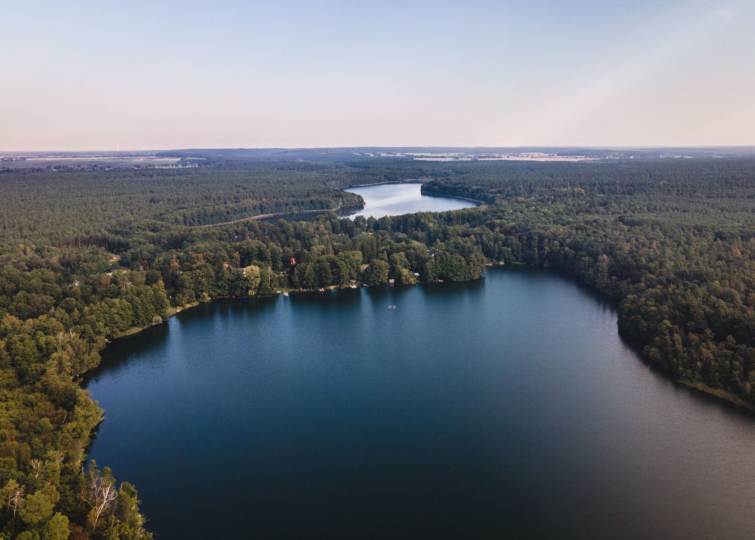
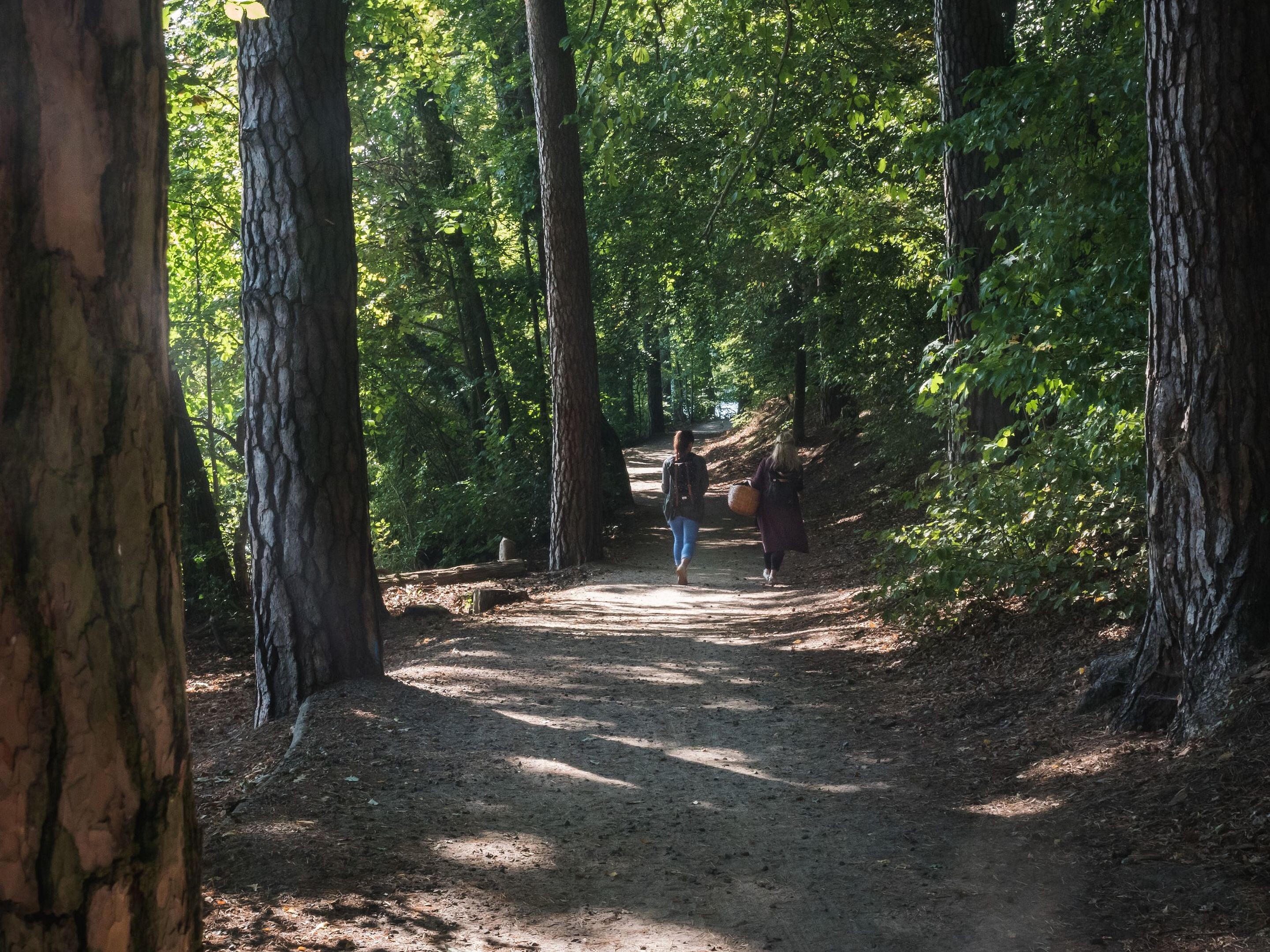
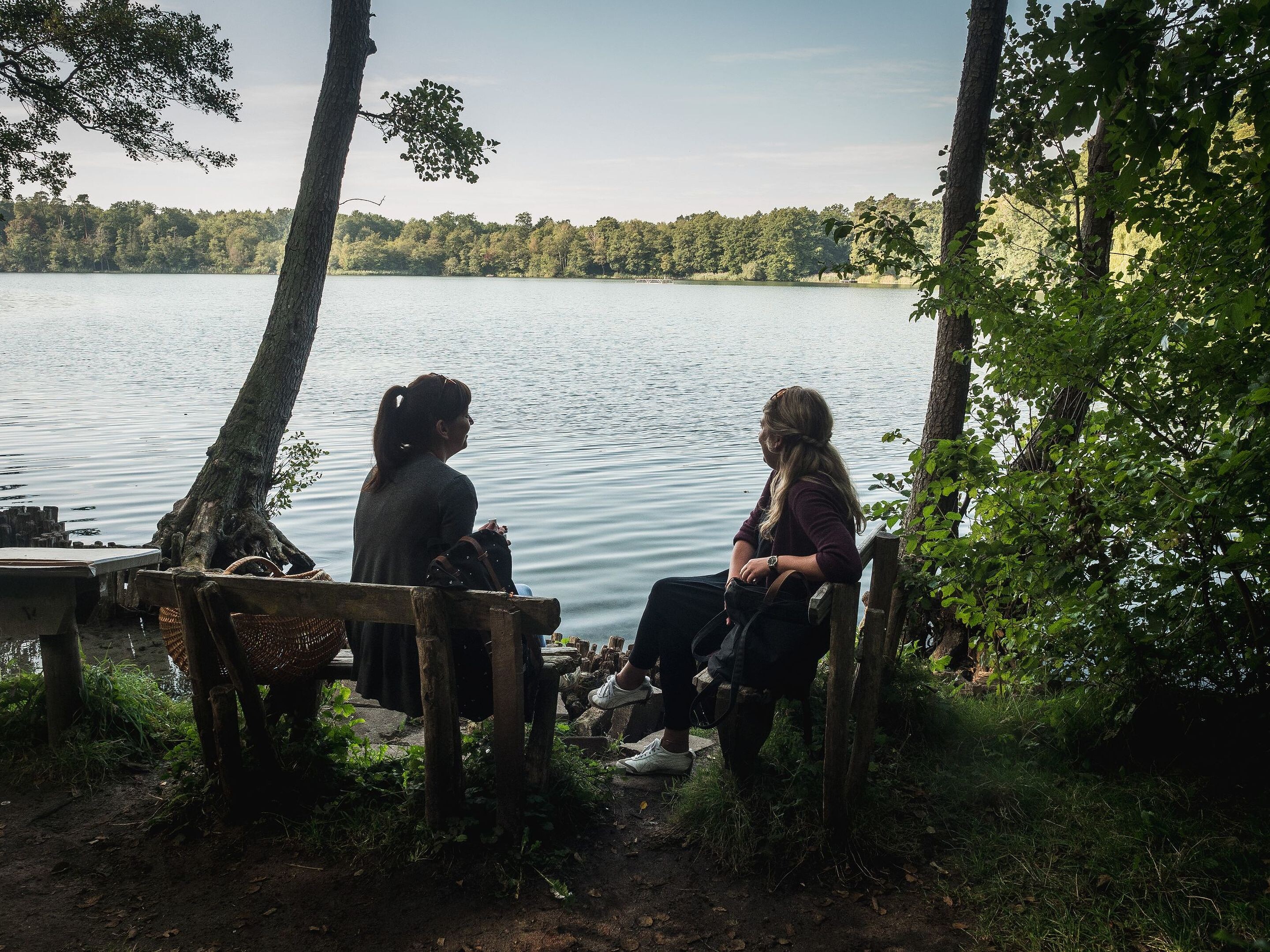
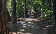
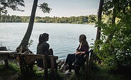
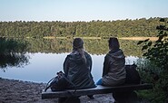
Simply picturesque: on the hike from Leuenberg to Strausberg, the ‘Malerblick’ view across the Mittelsee is one of the most impressive sights. But it is just one of many gems in the Gamengrund, where one lake follows another in the mixed beech forest. Along their shores, the route winds through quiet woods to Strausberg, offering places to rest and swim. A long day’s hike, balancing seclusion with the city drawing ever closer as you reach the end.


Length: 25.4 km, duration: approx. 6:30 h

Start: Leuenberg

Destination: Strausberg city

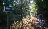
Logo / route marking: Blue point on a white background

Arrival by public transport: From Berlin main station with the S5 (Strausberg) to Berlin Ostkreuz, then continue with the RB25 (Werneuchen) to Werneuchen, then continue with the bus 887 (Bad Freienwalde) to Leuenberg (approx. 1.5 hours)

Departure public transport: From Strausberg with the S5 (Berlin Westkreuz) to Berlin Hauptbahnhof (approx. 1 hour)

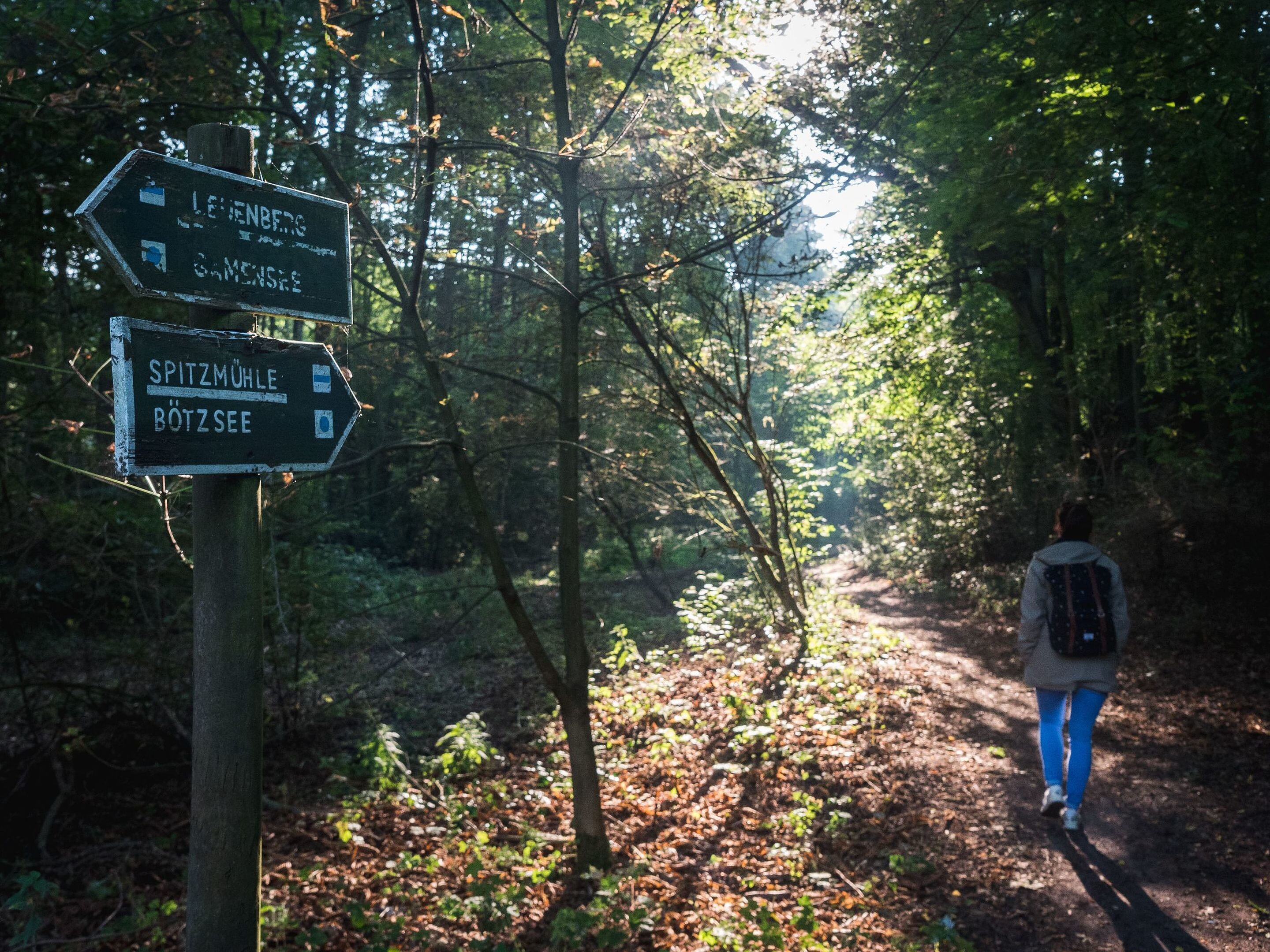
Course: Leuenberg, Tiefensee, Wesendahler Mühle, Fängersee, Bötzsee, Strausberg


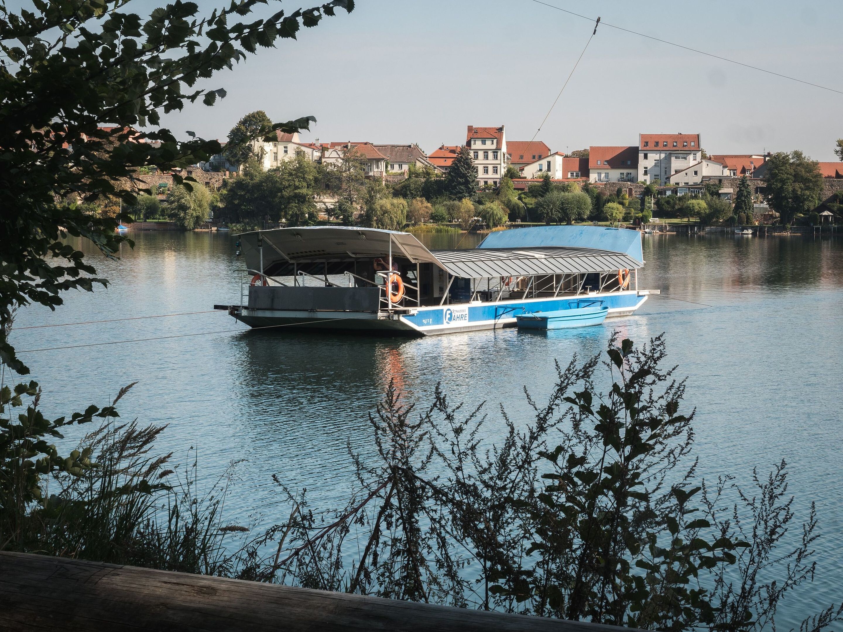
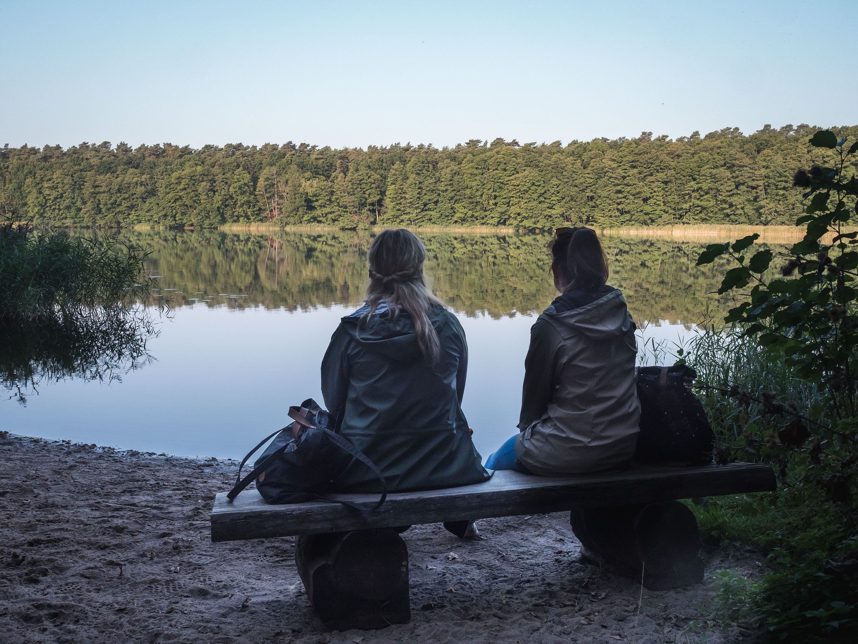
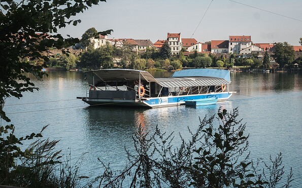
How to get there / Worth knowing: From Leuenberg, the path leads down into the Gamengrund valley. Shortly after passing Langen See, Mittelsee comes into view. The ‘Malerblick’ viewpoint on the northern shore offers a sweeping view across the water to the edge of the forest on the opposite side. This is followed by the southern Gamensee, which shares its name with the lake in the northern Gamengrund. A campsite, snack bar and bathing spots are located along the route. The trail continues along narrow paths, beneath hornbeams and oaks, whose branches are reflected in the clear water. You then walk through a deciduous forest adorned with fir trees – a heavenly stretch that makes you want to take a short detour to Paradiessee. From the Wesendahl Mill, one of the oldest surviving watermills in the state of Brandenburg, the route follows the shores of Fängersee and Bötzsee to the southern tip of Straussee. Those wishing to shorten the walk slightly can take the listed electric cable ferry from the western shore of Straussee directly to Strausberg’s old town.


Sights:


  • Feldsteinkirche Leuenberg
  • Wesendahler Mill
  • Straussee ferry

Road conditions / route expansion: predominantly unpaved roads

Maps / literature:

  • "66-Seen-Weg, Hikeline hiking guide", publisher: Esterbauer GmbH, edition: 3 (2019), ISBN: 978-3-85000-760-3, 11.90 euros
  • "66-Seen-Wanderung, Zu den Naturschönheiten rund um Berlin", publisher: Trescher Verlag, edition: 10. (2024), ISBN 978-3-89794-623-1, 16,95 euros


Continue readingcollapse
  • Straussee ferry, Foto: Christoph Creutzburg, Lizenz: Seenland Oder-Spree
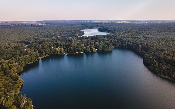
  • Straussee, Foto: Christoph Creutzburg, Lizenz: Seenland Oder-Spree
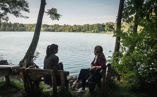
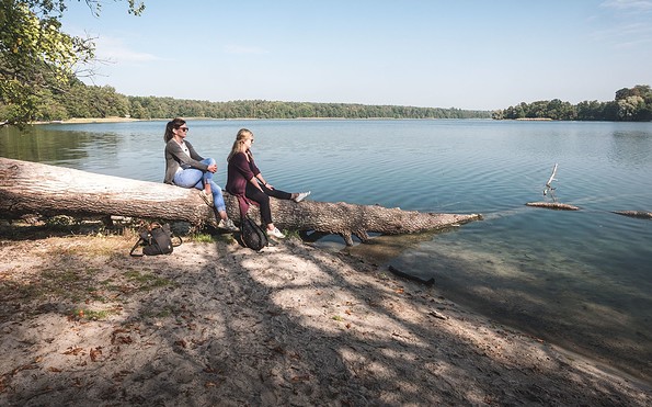
  • Bötzsee east bank, Foto: Christoph Creutzburg, Lizenz: Seenland Oder-Spree
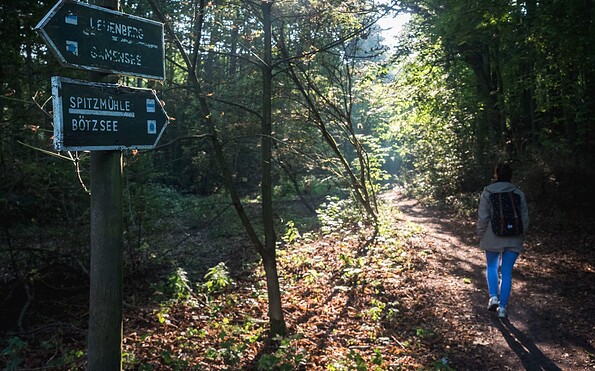
  • Bötzsee east bank, Foto: Christoph Creutzburg, Lizenz: Seenland Oder-Spree
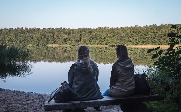
  • Northern tip of the catcher lake, Foto: Christoph Creutzburg, Lizenz: Seenland Oder-Spree
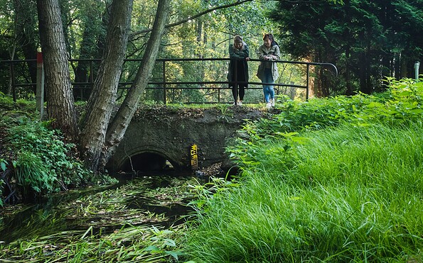
  • Bathing area on the east bank of the Fängersee, Foto: Christoph Creutzburg, Lizenz: Seenland Oder-Spree

  • Grenzfließ in the Gamengrund, Foto: Christoph Creutzburg, Lizenz: Seenland Oder-Spree
  • Fängersee and Bötzsee, Foto: Christoph Creutzburg, Lizenz: Seenland Oder-Spree


Simply picturesque: on the hike from Leuenberg to Strausberg, the ‘Malerblick’ view across the Mittelsee is one of the most impressive sights. But it is just one of many gems in the Gamengrund, where one lake follows another in the mixed beech forest. Along their shores, the route winds through quiet woods to Strausberg, offering places to rest and swim. A long day’s hike, balancing seclusion with the city drawing ever closer as you reach the end.


Length: 25.4 km, duration: approx. 6:30 h

Start: Leuenberg

Destination: Strausberg city

Logo / route marking: Blue point on a white background

Arrival by public transport: From Berlin main station with the S5 (Strausberg) to Berlin Ostkreuz, then continue with the RB25 (Werneuchen) to Werneuchen, then continue with the bus 887 (Bad Freienwalde) to Leuenberg (approx. 1.5 hours)

Departure public transport: From Strausberg with the S5 (Berlin Westkreuz) to Berlin Hauptbahnhof (approx. 1 hour)

Course: Leuenberg, Tiefensee, Wesendahler Mühle, Fängersee, Bötzsee, Strausberg


How to get there / Worth knowing: From Leuenberg, the path leads down into the Gamengrund valley. Shortly after passing Langen See, Mittelsee comes into view. The ‘Malerblick’ viewpoint on the northern shore offers a sweeping view across the water to the edge of the forest on the opposite side. This is followed by the southern Gamensee, which shares its name with the lake in the northern Gamengrund. A campsite, snack bar and bathing spots are located along the route. The trail continues along narrow paths, beneath hornbeams and oaks, whose branches are reflected in the clear water. You then walk through a deciduous forest adorned with fir trees – a heavenly stretch that makes you want to take a short detour to Paradiessee. From the Wesendahl Mill, one of the oldest surviving watermills in the state of Brandenburg, the route follows the shores of Fängersee and Bötzsee to the southern tip of Straussee. Those wishing to shorten the walk slightly can take the listed electric cable ferry from the western shore of Straussee directly to Strausberg’s old town.


Sights:


  • Feldsteinkirche Leuenberg
  • Wesendahler Mill
  • Straussee ferry

Road conditions / route expansion: predominantly unpaved roads

Maps / literature:

  • "66-Seen-Weg, Hikeline hiking guide", publisher: Esterbauer GmbH, edition: 3 (2019), ISBN: 978-3-85000-760-3, 11.90 euros
  • "66-Seen-Wanderung, Zu den Naturschönheiten rund um Berlin", publisher: Trescher Verlag, edition: 10. (2024), ISBN 978-3-89794-623-1, 16,95 euros


Continue readingcollapse
  • Straussee ferry, Foto: Christoph Creutzburg, Lizenz: Seenland Oder-Spree
  • Straussee, Foto: Christoph Creutzburg, Lizenz: Seenland Oder-Spree
  • Bötzsee east bank, Foto: Christoph Creutzburg, Lizenz: Seenland Oder-Spree
  • Bötzsee east bank, Foto: Christoph Creutzburg, Lizenz: Seenland Oder-Spree
  • Northern tip of the catcher lake, Foto: Christoph Creutzburg, Lizenz: Seenland Oder-Spree
  • Bathing area on the east bank of the Fängersee, Foto: Christoph Creutzburg, Lizenz: Seenland Oder-Spree
  • Grenzfließ in the Gamengrund, Foto: Christoph Creutzburg, Lizenz: Seenland Oder-Spree
  • Fängersee and Bötzsee, Foto: Christoph Creutzburg, Lizenz: Seenland Oder-Spree

Arrival planner

Berliner Straße

16259 Höhenland

Weather Today, 18. 8.

17 19
overcast clouds

  • Wednesday
    16 22
  • Thursday
    16 26

Tourist information

Tourismusverband Seenland Oder-Spree e.V.

Ulmenstraße 15
15526 Bad Saarow

Tel.: +49 (0) 33631-868100
Fax: +49 (0) 33631-868102

Weather Today, 18. 8.

17 19
overcast clouds

  • Wednesday
    16 22
  • Thursday
    16 26

All information, times and prices are regularly checked and updated. Nevertheless, we can not guarantee the accuracy of the data. We recommend that you inquire about the current status by phone / e-mail or via the provider's website before your visit.

Call the TMB holiday hotline at +49 (0)331-200 47 47 +49(0)331 2004747​ We are available for you via telephone: weekdays Mon – Fri 9 am – 1 pm and Oct. 31 from 9 am – 1 pm.
Online booking

Thank you for visiting www.brandenburg-tourism.com

This website has been developed with the latest technology. Unfortunately, you are using a browser that does not meet the latest technical requirements.

We therefore ask you to use an alternative browser (E.g. Google Chrome, Firefox or Edge) and we hope you enjoy browsing our website.

Logo www.brandenburg-tourism.com