Address
Markt 5
15299 Müllrose
15299 Müllrose
Ragower Mühle 1
15890 Siehdichum
15890 Siehdichum
Markt 5
15299 Müllrose
15299 Müllrose
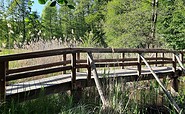
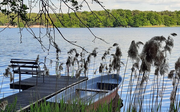
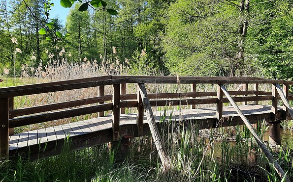
This tour leads through the region: Seenland Oder-Spree