Address
Bushaltestelle Bremsdorfer Mühle
Bremsdorfer Mühle
15890 Schlaubetal
Bremsdorfer Mühle
15890 Schlaubetal
Bushaltestelle Bremsdorfer Mühle
Bremsdorfer Mühle
15890 Schlaubetal
Bremsdorfer Mühle
15890 Schlaubetal
15890
Bremsdorf
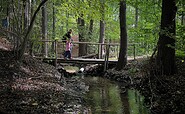
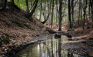
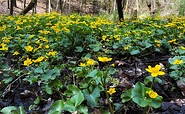
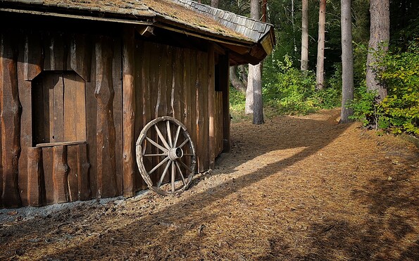
This tour leads through the region: Seenland Oder-Spree