Schlaubetal Hiking Trail - Stage 1 Müllrose to Kupferhammer

Hiking tours
Length: 10 km
0 Ratings of 5 (0)
0
0
0
0
0
How did you like your stay? You have already rated your stay.
Hiking tours
Length: 10 km
From €
Show availability & price

p.P. = per person, p.P./N = per person / night, p.E./N = per unit / night, EZ = Single room, DZ = double room, FeWo = holiday home, App. = apartment, Suite = suite, FR = Breakfast, HP = half board, VP = full board
 
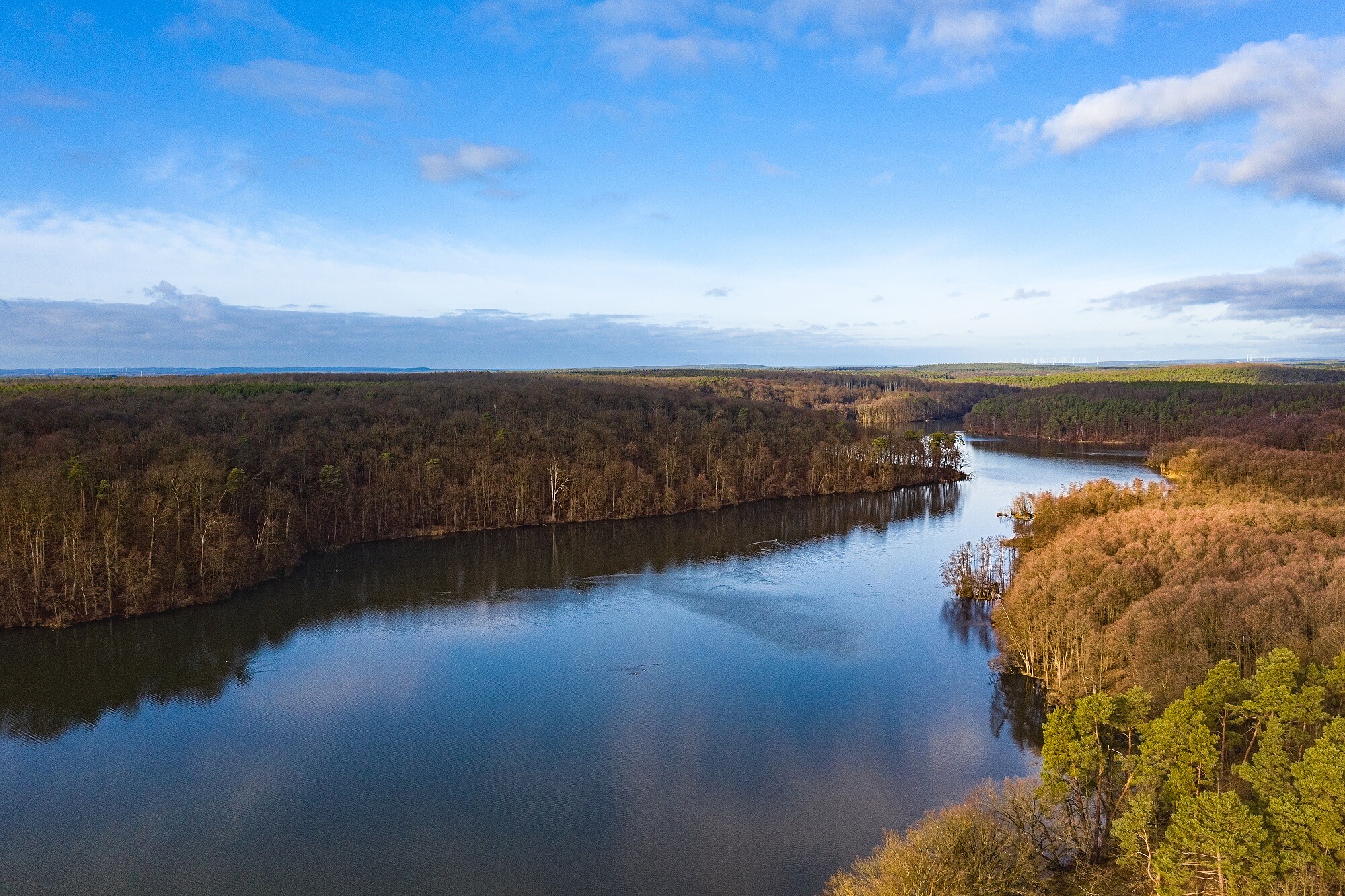
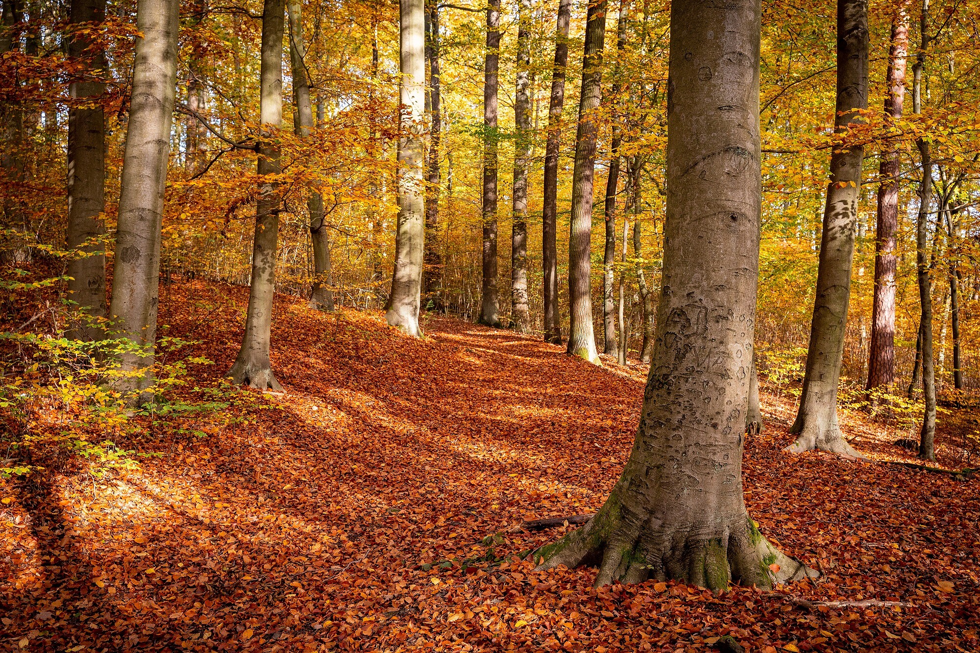
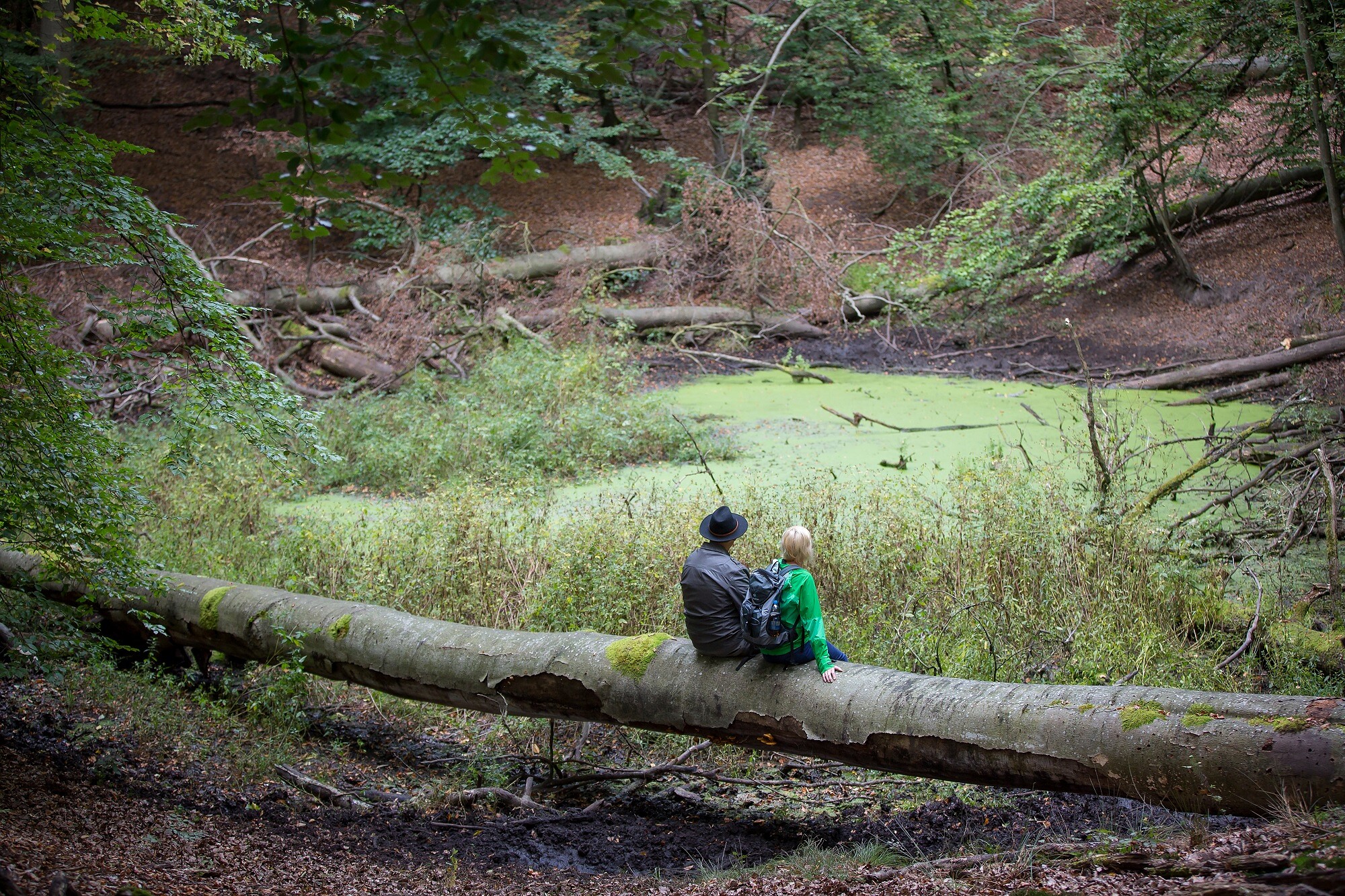
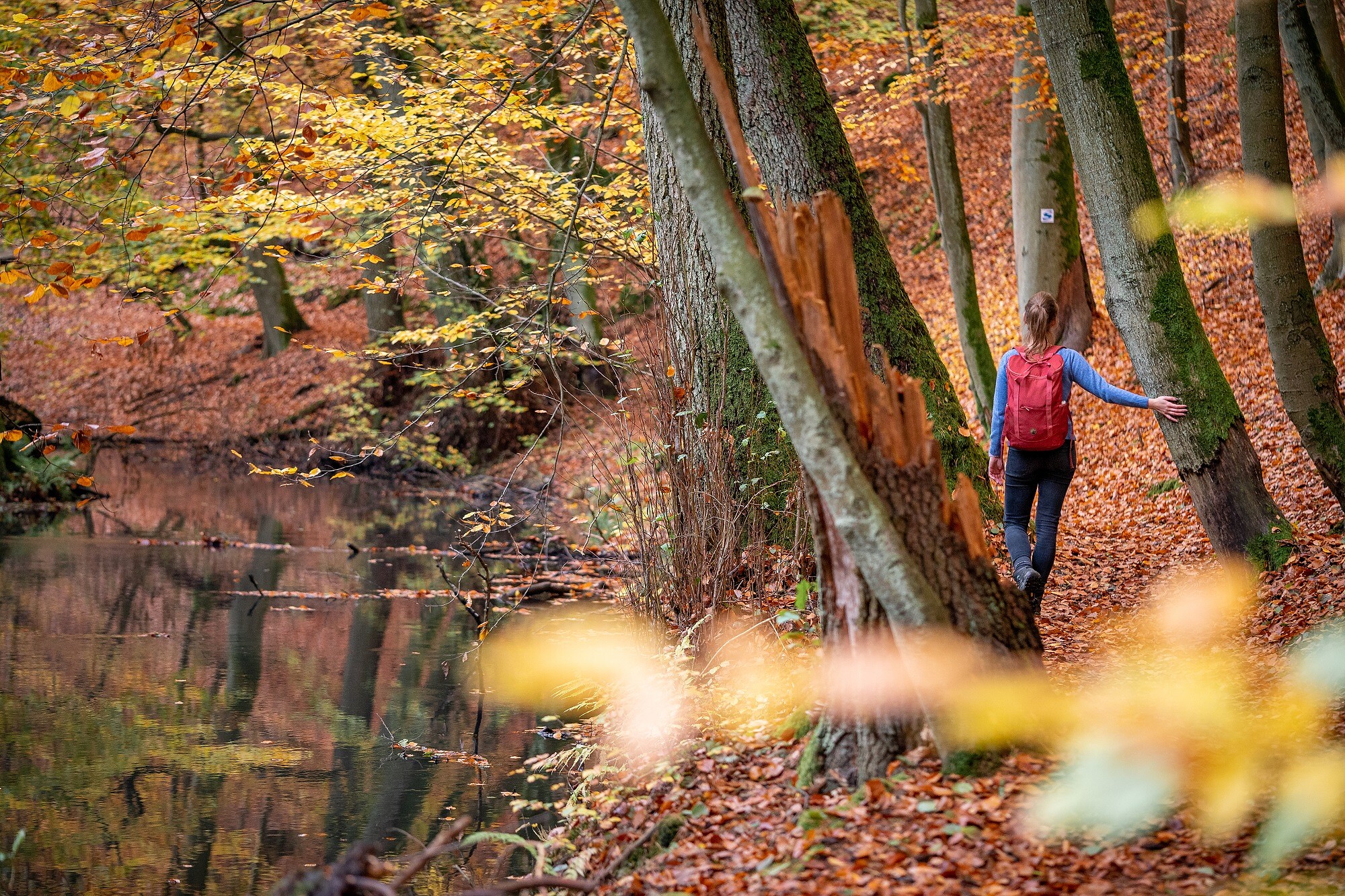
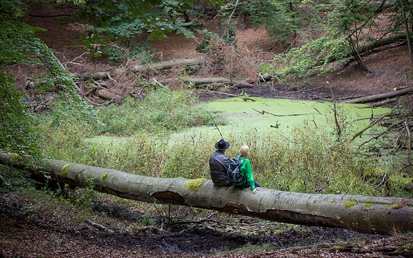
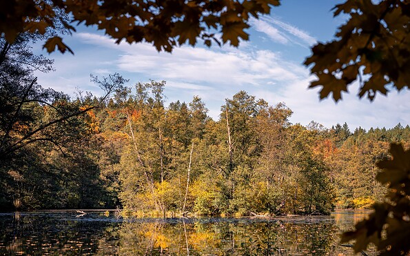
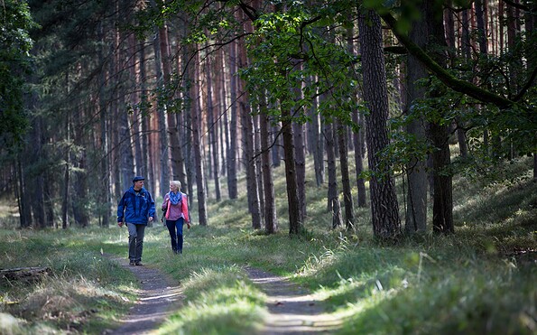
One of Brandenburg’s most impressive stream landscapes: The Schlaube accompanies the hiking trail through forests, meadows, and glacially shaped valleys.
Continue readingcollapse
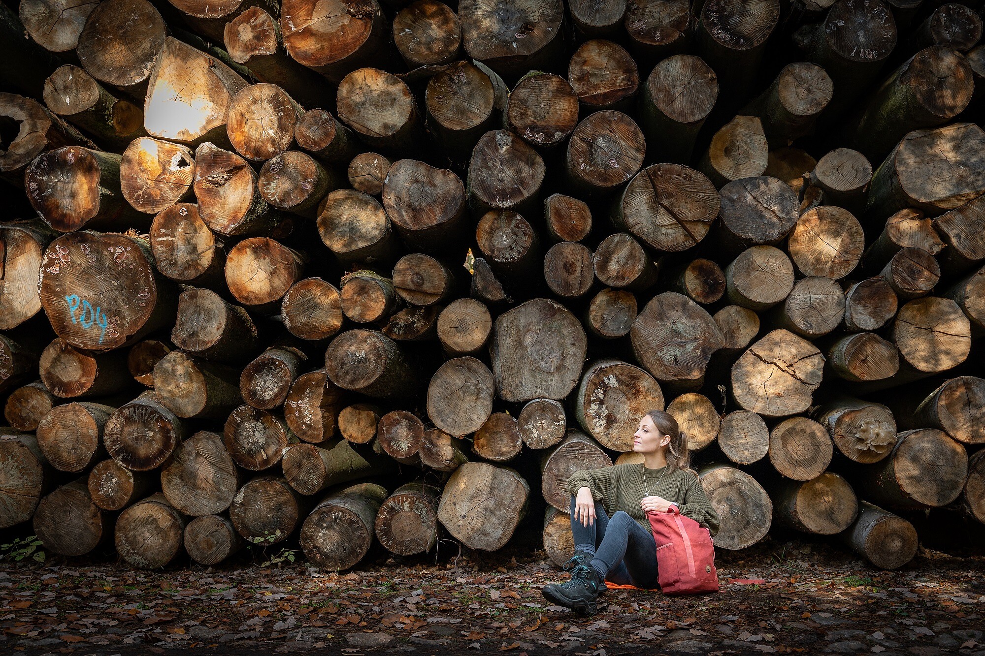
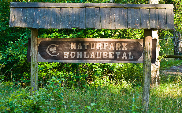
  • Logo Schlaubetal Hiking Trail , Foto: Florian Läufer, Lizenz: Seenland Oder-Spree

  • Schlaubetal Hiking Trail , Foto: TMB-Fotoarchiv/Steffen Lehmann, Lizenz: Tourismus-Marketing Brandenburg GmbH
  • Schlaubetal Hiking Trail , Foto: TMB-Fotoarchiv/Steffen Lehmann, Lizenz: Tourismus-Marketing Brandenburg GmbH
  • Schlaubetal Hiking Trail , Foto: Florian Läufer, Lizenz: Seenland Oder-Spree
  • Schlaubetal Hiking Trail , Foto: Florian Läufer, Lizenz: Seenland Oder-Spree
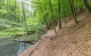
  • Schlaubetal Hiking Trail , Foto: Florian Läufer, Lizenz: Seenland Oder-Spree
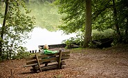
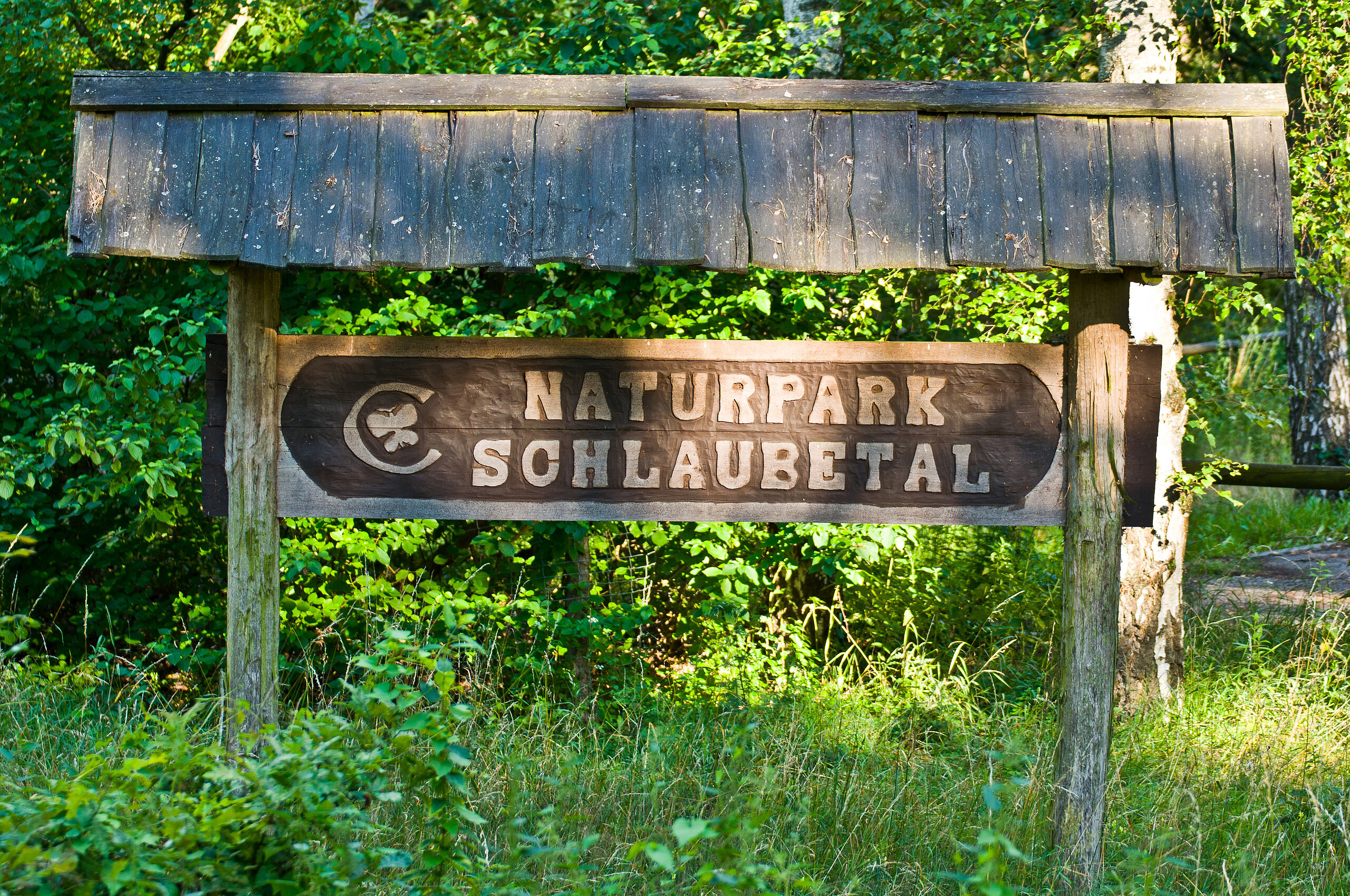
  • Nature park Schlaubetal, Foto: Tibor Rostek, Lizenz: Seenland Oder-Spree

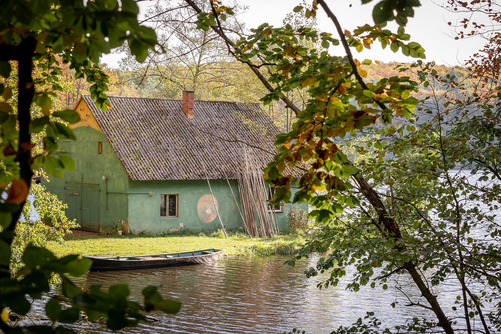
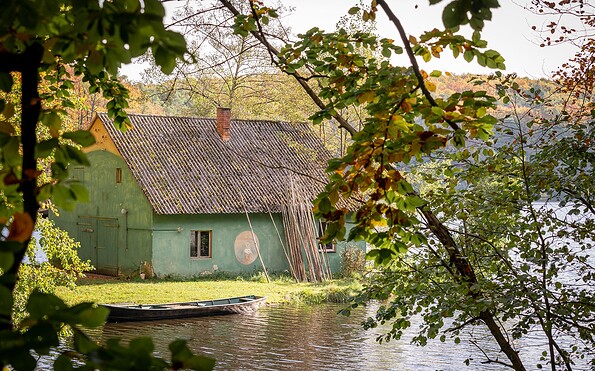
  • fishermens house at Schlaubetal Hiking Trail , Foto: Florian Läufer, Lizenz: Seenland Oder-Spree
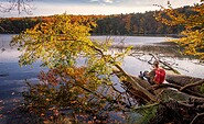
  • Schlaubetal Hiking Trail , Foto: Florian Läufer, Lizenz: Seenland Oder-Spree
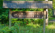
  • Schlaubetal Hiking Trail , Foto: Florian Läufer, Lizenz: Seenland Oder-Spree
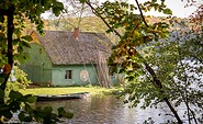
  • Nature park Schlaubetal, Foto: Florian Läufer, Lizenz: Seenland Oder-Spree
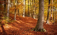
  • Schlaubetal Hiking Trail , Foto: Florian Läufer, Lizenz: Seenland Oder-Spree
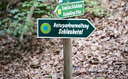
  • Nature park Schlaubetal, Foto: Tibor Rostek, Lizenz: Seenland Oder-Spree
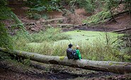
  • Schlaubetal Hiking Trail , Foto: Florian Läufer, Lizenz: Seenland Oder-Spree
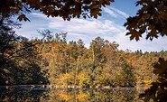
  • Ragower Mühle at Nature park Schlaubetal, Foto: TMB-Fotoarchiv/Heidi Walter, Lizenz: Tourismus-Marketing Brandenburg GmbH
  • Nature park Schlaubetal, Foto: Florian Läufer, Lizenz: Seenland Oder-Spree
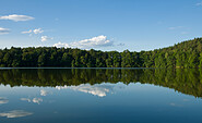
  • Schlaubetal Hiking Trail , Foto: Florian Läufer, Lizenz: Seenland Oder-Spree
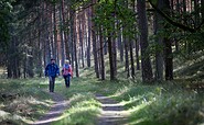
  • Lake Müllroser See Schlaubetal, Foto: Florian Läufer, Lizenz: Seenland Oder-Spree
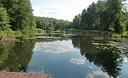
Start / End: Müllrose / Kupferhammer

Length / Duration: approx. 10 kilometers / 2.5 hours

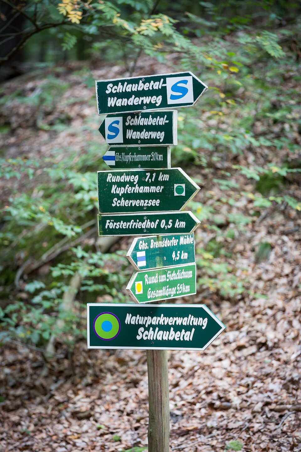
Trail marking: blue "S" on white background

Arrival / Departure:

Arrival: RE1 to Jacobsdorf, then bus A400 to Müllrose, Markt (May–October, weekends/holidays)

or RE1 to Frankfurt (Oder), then RB36 to Müllrose station

Departure: Bus A400 to Jacobsdorf, RE1 toward Berlin

Route description

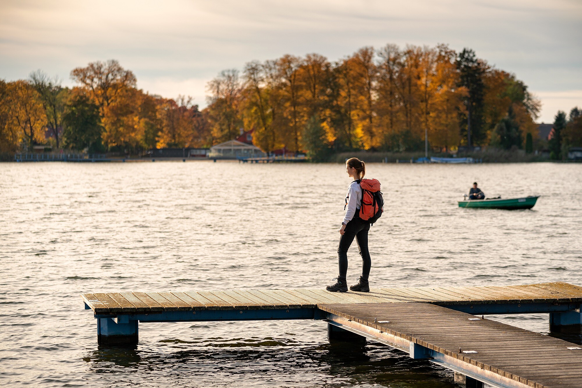
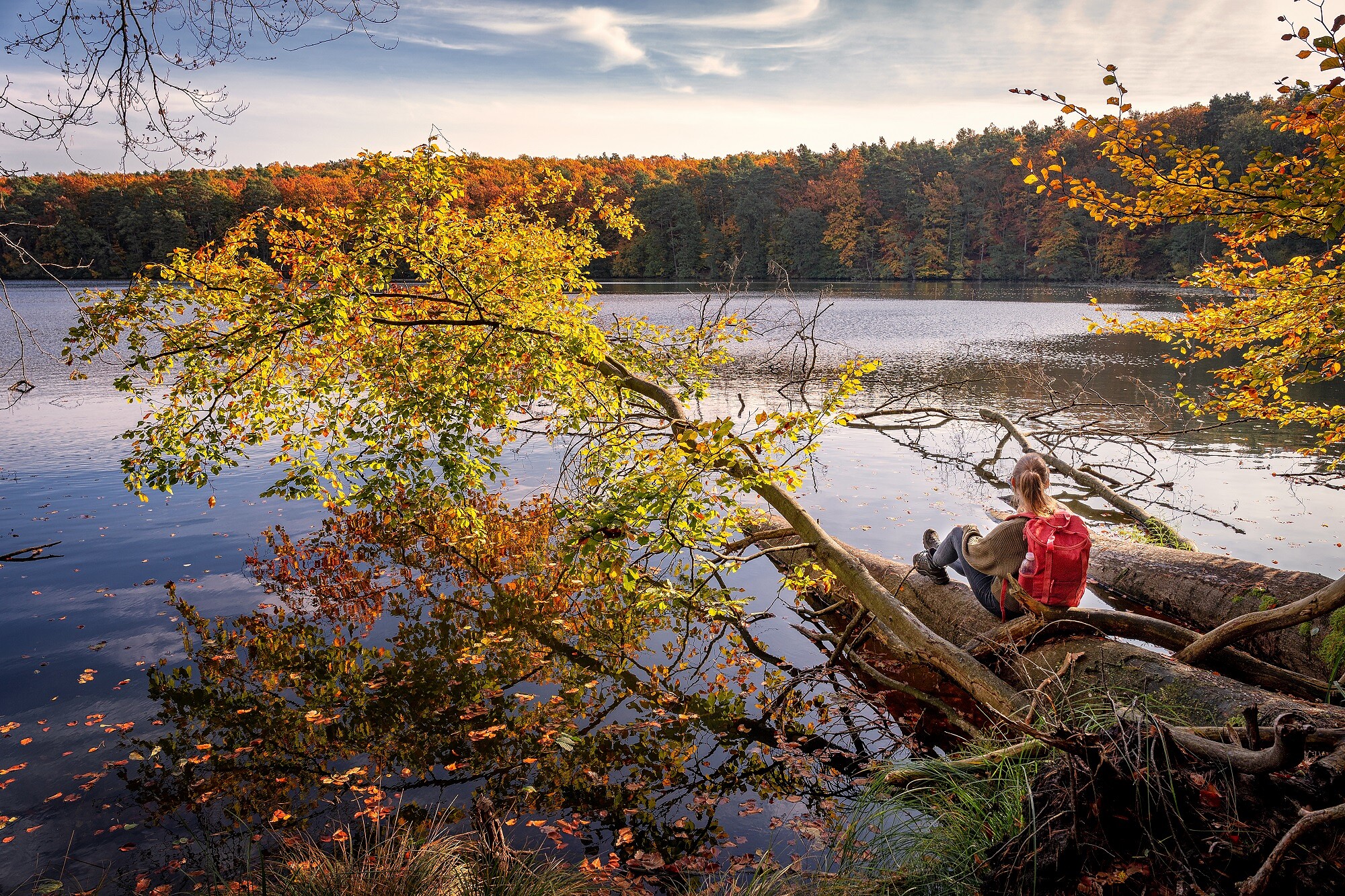
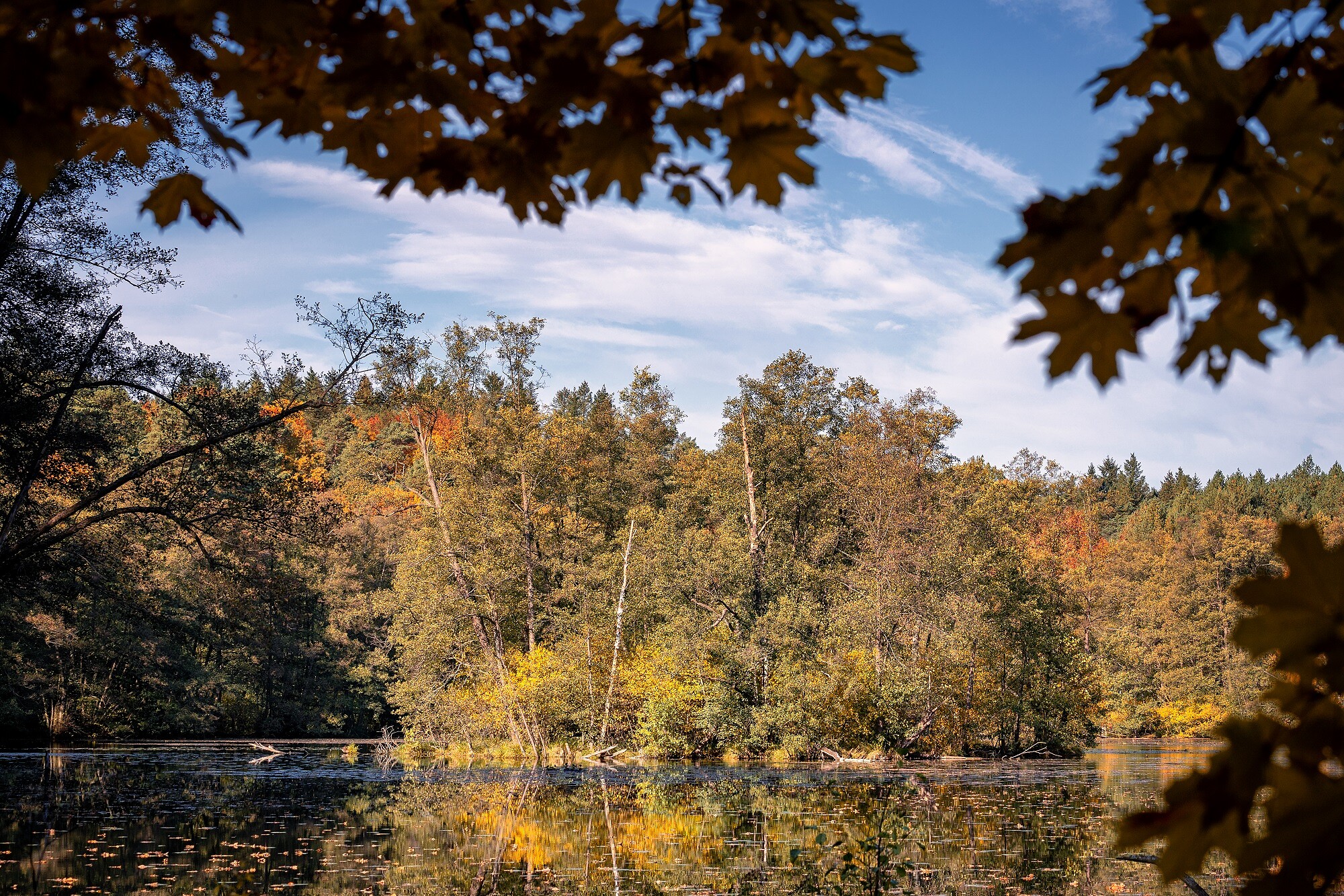
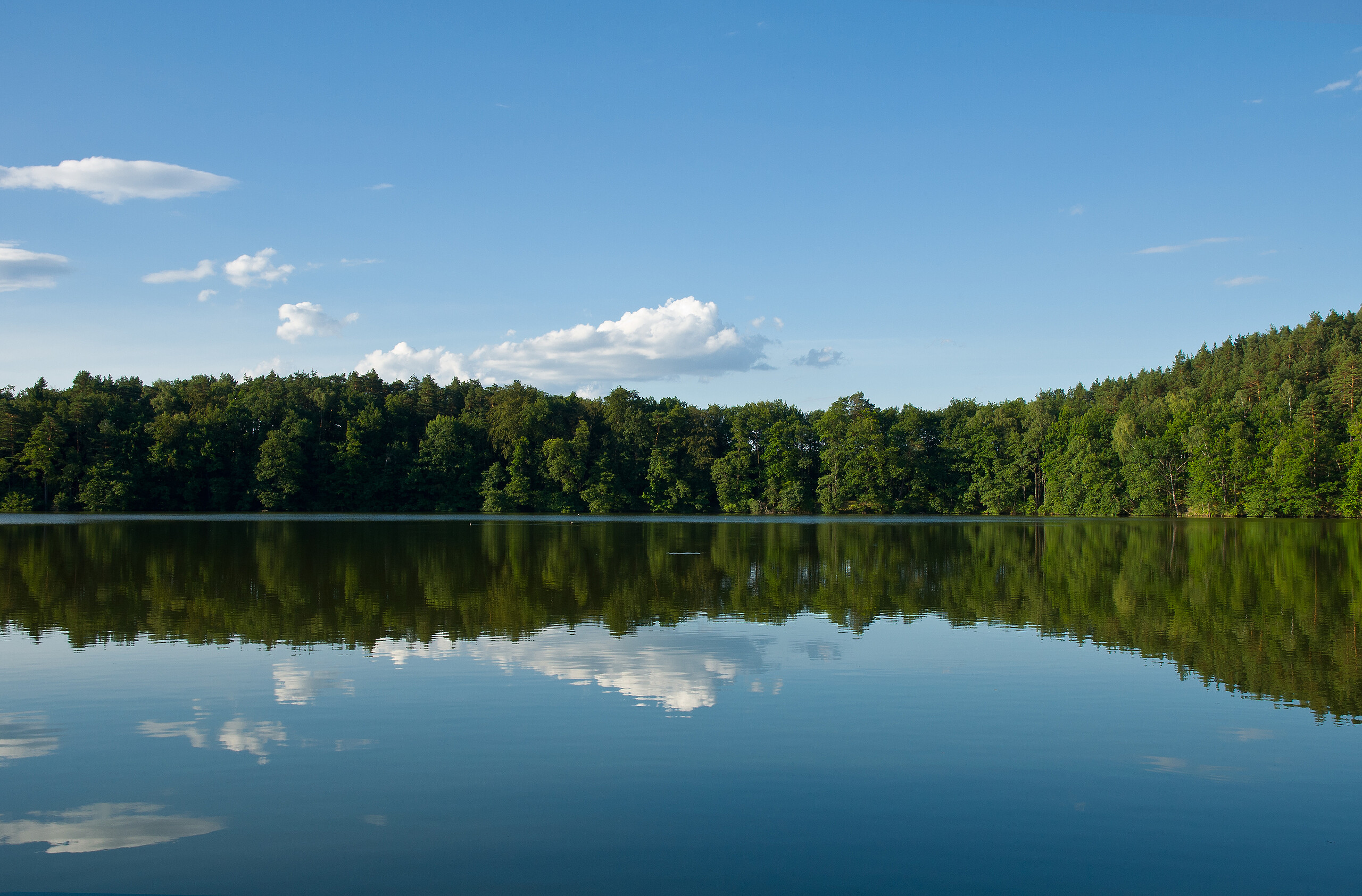
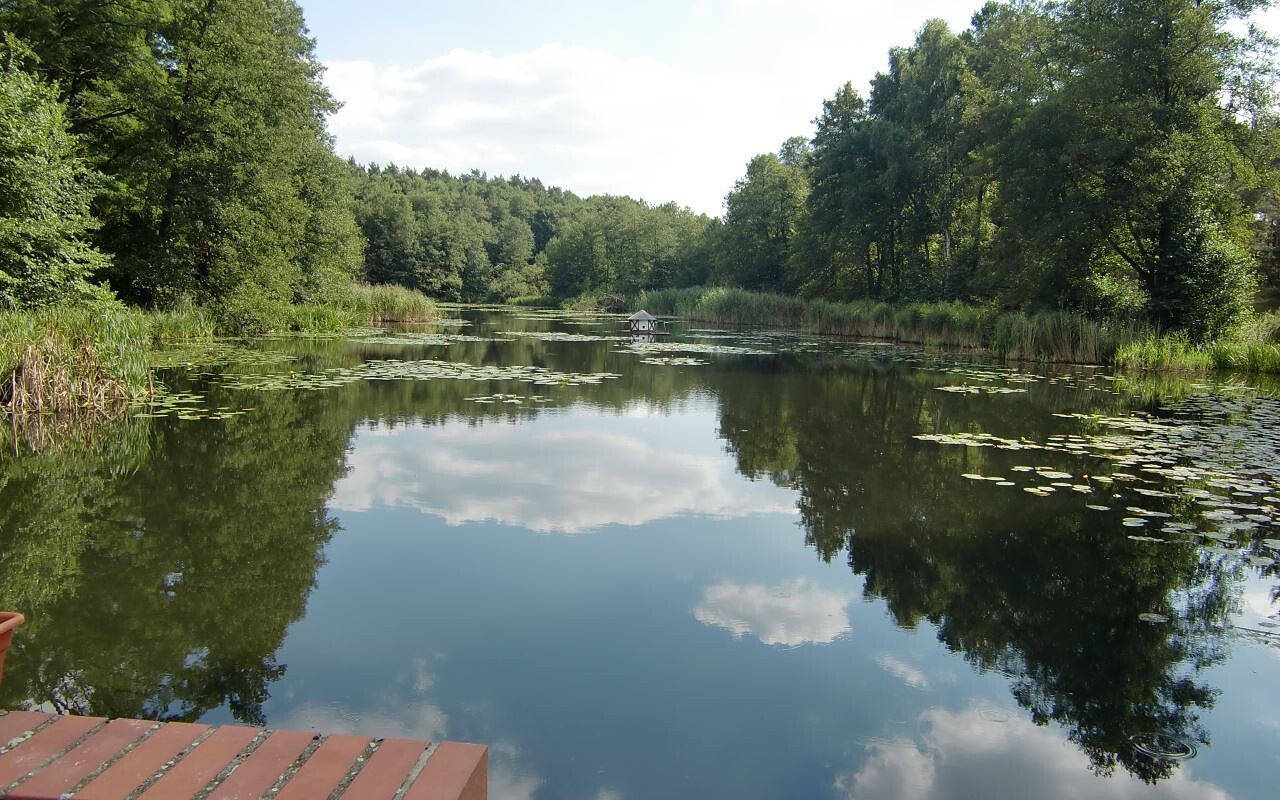
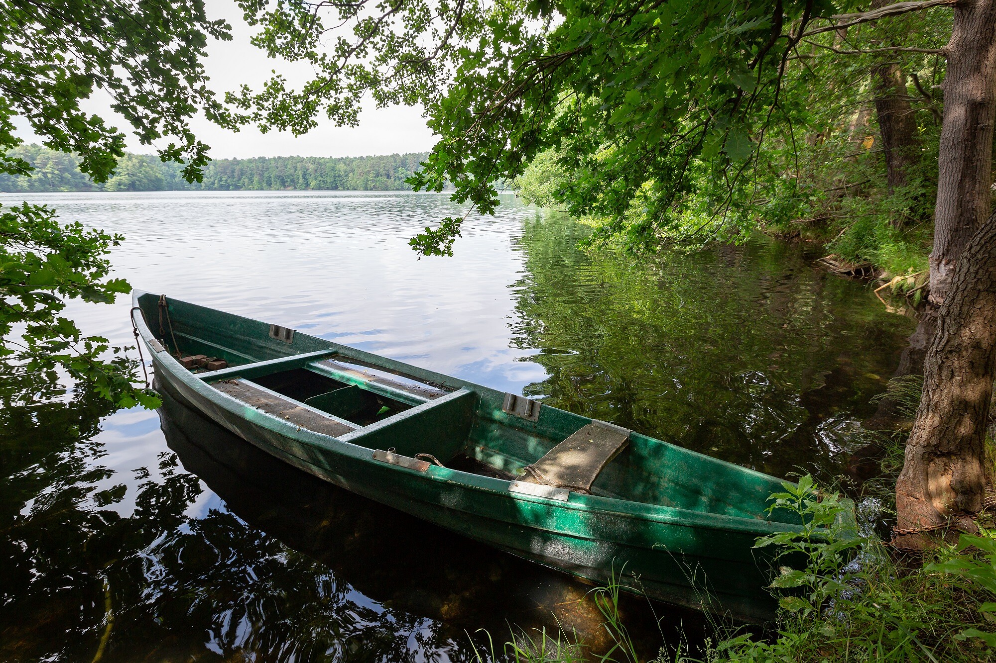
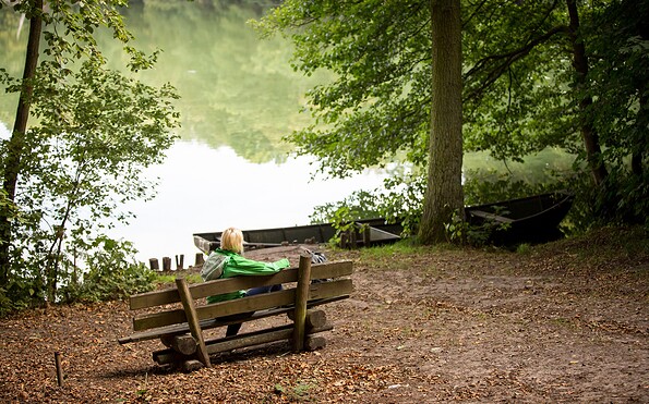
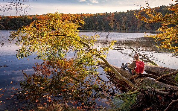
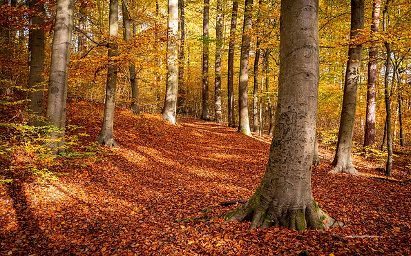
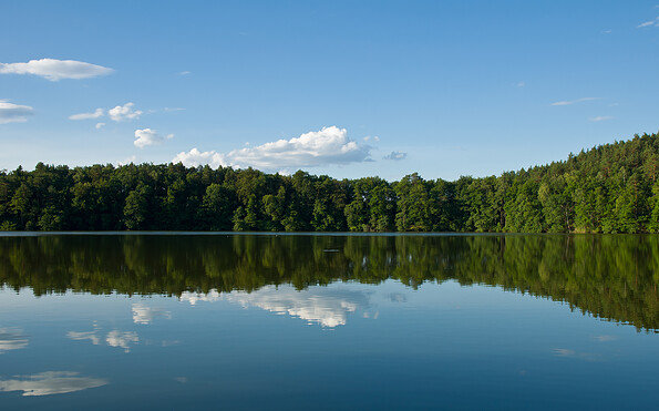
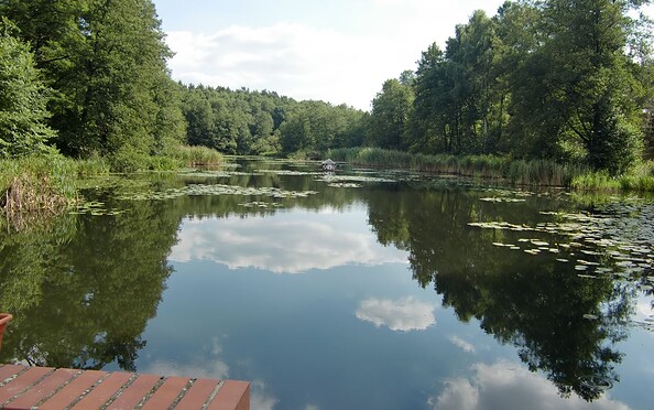
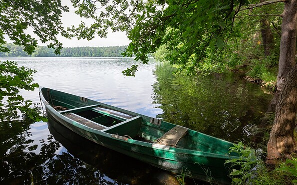
The tour begins in the historic town of Müllrose, overlooking Großer Müllroser See. The path follows the shoreline through pine forests and wet meadows to Lake Belenz, home to nesting waterbirds. Here, the sound of the Schlaube stream becomes audible for the first time.

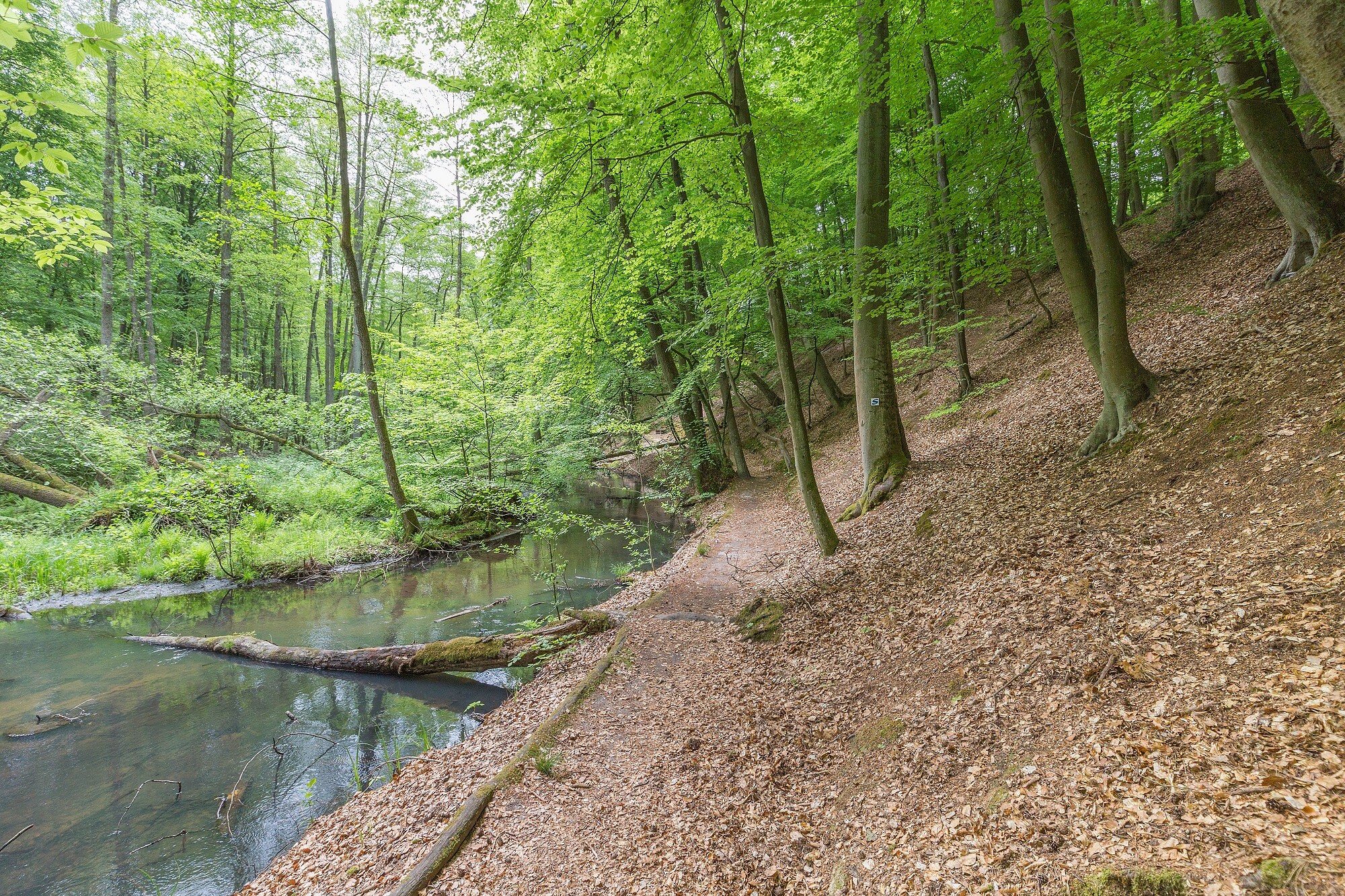
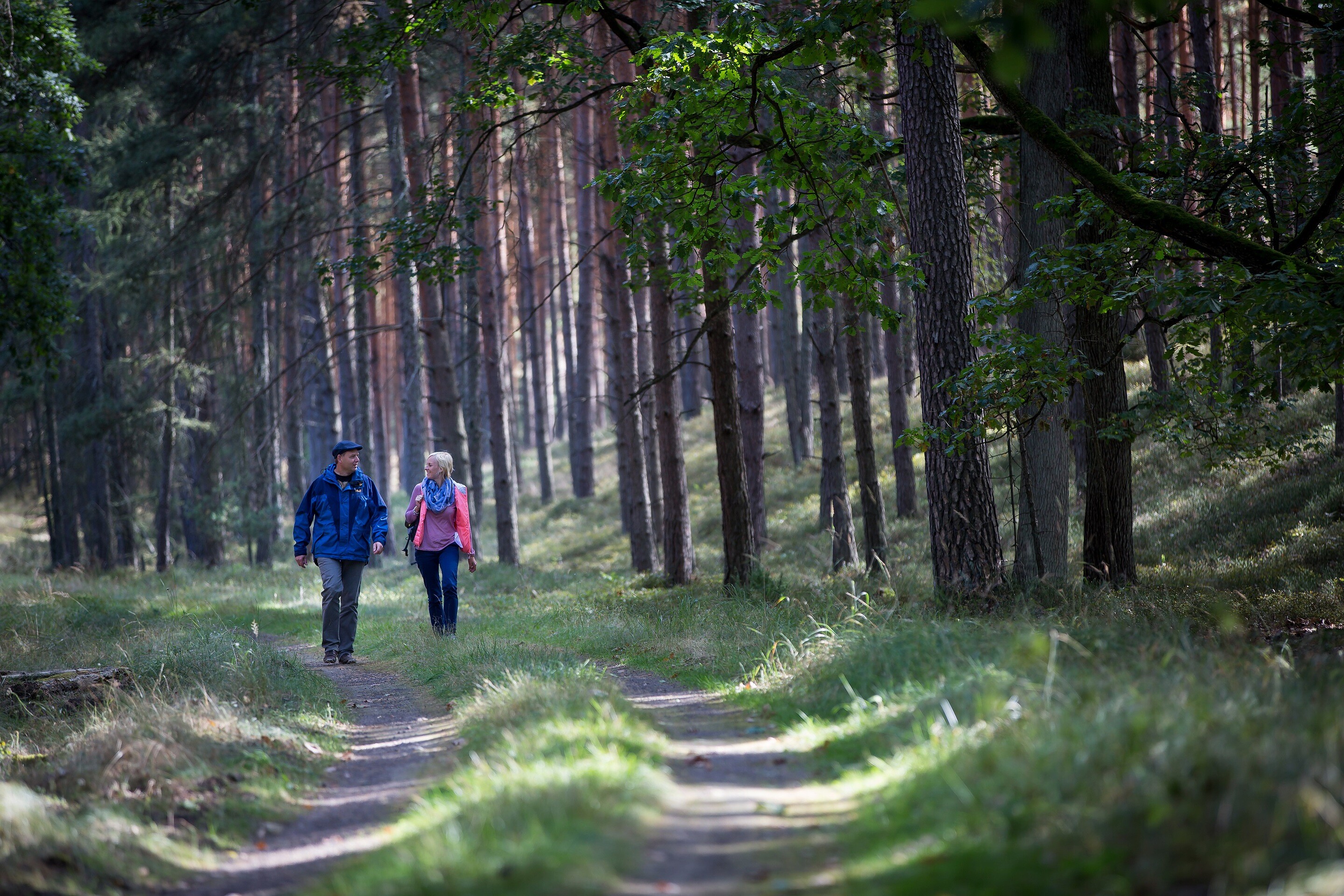
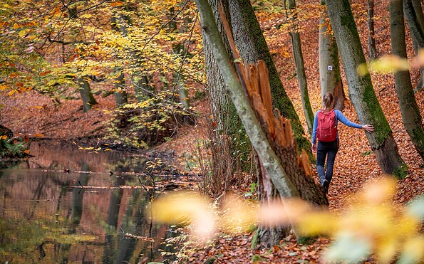
After a rest at Ragower Mühle, the trail continues through wooded ravines and moss-covered terrain. Detours to the abandoned Mittelmühle or the viewpoint “Mäanderblick” are worthwhile. The tour ends at Kupferhammer, accompanied by the rushing stream.

Dining options:
  • Restaurant Kaisermühle
  • Restaurant at Hotel “Haus Katharinensee”
  • Guesthouse “Ragower Mühle”
  • Schlaubetal Camping Schervenzsee

Packing tips:

  • Sun and insect protection
  • Water and possibly a picnic
  • Swimwear for breaks by the water
  • Binoculars for birdwatching

  • Flora Incognita app for plant identification


Maps / Literature:

Naturparadies Schlaubetal, 1:50,000, ISBN 978-3-89920-347-9

Wanderparadies Schlaubetal, ISBN 978-3-941085-78-7

Map: Wanderabenteuer Seenland Oder-Spree
Continue readingcollapse
 
One of Brandenburg’s most impressive stream landscapes: The Schlaube accompanies the hiking trail through forests, meadows, and glacially shaped valleys.
Continue readingcollapse
  • Logo Schlaubetal Hiking Trail , Foto: Florian Läufer, Lizenz: Seenland Oder-Spree
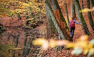
  • Schlaubetal Hiking Trail , Foto: TMB-Fotoarchiv/Steffen Lehmann, Lizenz: Tourismus-Marketing Brandenburg GmbH
  • Schlaubetal Hiking Trail , Foto: TMB-Fotoarchiv/Steffen Lehmann, Lizenz: Tourismus-Marketing Brandenburg GmbH
  • Schlaubetal Hiking Trail , Foto: Florian Läufer, Lizenz: Seenland Oder-Spree
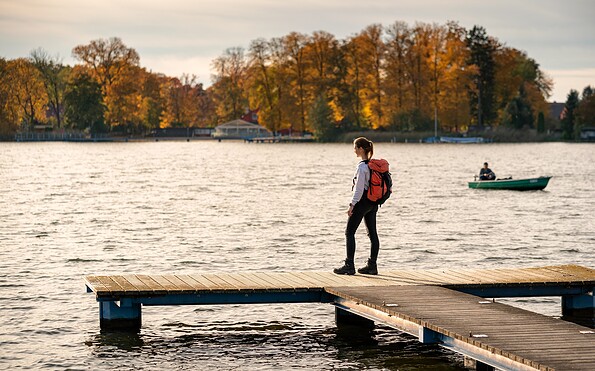
  • Schlaubetal Hiking Trail , Foto: Florian Läufer, Lizenz: Seenland Oder-Spree
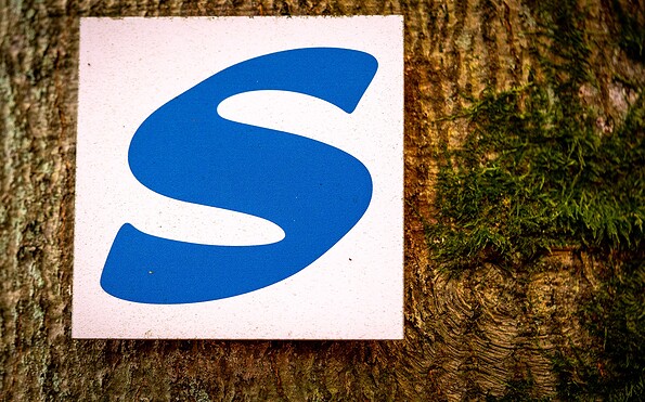
  • Schlaubetal Hiking Trail , Foto: Florian Läufer, Lizenz: Seenland Oder-Spree
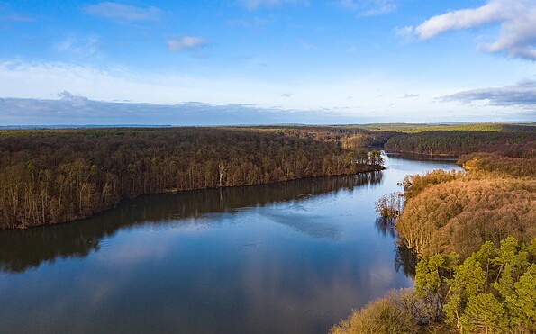
  • Nature park Schlaubetal, Foto: Tibor Rostek, Lizenz: Seenland Oder-Spree
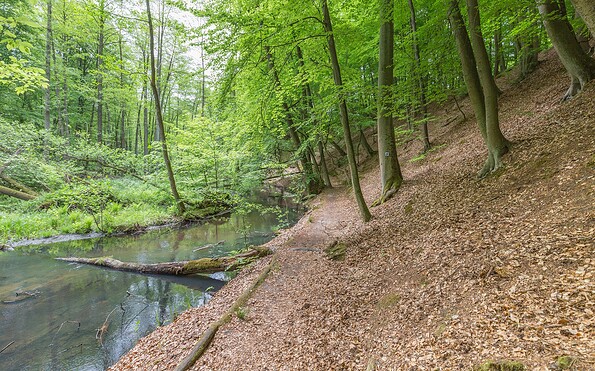
  • fishermens house at Schlaubetal Hiking Trail , Foto: Florian Läufer, Lizenz: Seenland Oder-Spree
  • Schlaubetal Hiking Trail , Foto: Florian Läufer, Lizenz: Seenland Oder-Spree
  • Schlaubetal Hiking Trail , Foto: Florian Läufer, Lizenz: Seenland Oder-Spree
  • Nature park Schlaubetal, Foto: Florian Läufer, Lizenz: Seenland Oder-Spree
  • Schlaubetal Hiking Trail , Foto: Florian Läufer, Lizenz: Seenland Oder-Spree
  • Nature park Schlaubetal, Foto: Tibor Rostek, Lizenz: Seenland Oder-Spree
  • Schlaubetal Hiking Trail , Foto: Florian Läufer, Lizenz: Seenland Oder-Spree
  • Ragower Mühle at Nature park Schlaubetal, Foto: TMB-Fotoarchiv/Heidi Walter, Lizenz: Tourismus-Marketing Brandenburg GmbH
  • Nature park Schlaubetal, Foto: Florian Läufer, Lizenz: Seenland Oder-Spree
  • Schlaubetal Hiking Trail , Foto: Florian Läufer, Lizenz: Seenland Oder-Spree
  • Lake Müllroser See Schlaubetal, Foto: Florian Läufer, Lizenz: Seenland Oder-Spree
Start / End: Müllrose / Kupferhammer

Length / Duration: approx. 10 kilometers / 2.5 hours

Trail marking: blue "S" on white background

Arrival / Departure:

Arrival: RE1 to Jacobsdorf, then bus A400 to Müllrose, Markt (May–October, weekends/holidays)

or RE1 to Frankfurt (Oder), then RB36 to Müllrose station

Departure: Bus A400 to Jacobsdorf, RE1 toward Berlin

Route description

The tour begins in the historic town of Müllrose, overlooking Großer Müllroser See. The path follows the shoreline through pine forests and wet meadows to Lake Belenz, home to nesting waterbirds. Here, the sound of the Schlaube stream becomes audible for the first time.

After a rest at Ragower Mühle, the trail continues through wooded ravines and moss-covered terrain. Detours to the abandoned Mittelmühle or the viewpoint “Mäanderblick” are worthwhile. The tour ends at Kupferhammer, accompanied by the rushing stream.

Dining options:
  • Restaurant Kaisermühle
  • Restaurant at Hotel “Haus Katharinensee”
  • Guesthouse “Ragower Mühle”
  • Schlaubetal Camping Schervenzsee

Packing tips:

  • Sun and insect protection
  • Water and possibly a picnic
  • Swimwear for breaks by the water
  • Binoculars for birdwatching

  • Flora Incognita app for plant identification


Maps / Literature:

Naturparadies Schlaubetal, 1:50,000, ISBN 978-3-89920-347-9

Wanderparadies Schlaubetal, ISBN 978-3-941085-78-7

Map: Wanderabenteuer Seenland Oder-Spree
Continue readingcollapse

Arrival planner

15299 Müllrose

Weather Today, 18. 8.

17 17
overcast clouds

  • Wednesday
    17 21
  • Thursday
    16 25

Tourist information

Tourismusverband Seenland Oder-Spree e.V.

Ulmenstraße 15
15526 Bad Saarow

Tel.: +49 (0) 33631-868100
Fax: +49 (0) 33631-868102

Weather Today, 18. 8.

17 17
overcast clouds

  • Wednesday
    17 21
  • Thursday
    16 25

All information, times and prices are regularly checked and updated. Nevertheless, we can not guarantee the accuracy of the data. We recommend that you inquire about the current status by phone / e-mail or via the provider's website before your visit.

Call the TMB holiday hotline at +49 (0)331-200 47 47 +49(0)331 2004747​ We are available for you via telephone: weekdays Mon – Fri 9 am – 1 pm and Oct. 31 from 9 am – 1 pm.
Online booking

Thank you for visiting www.brandenburg-tourism.com

This website has been developed with the latest technology. Unfortunately, you are using a browser that does not meet the latest technical requirements.

We therefore ask you to use an alternative browser (E.g. Google Chrome, Firefox or Edge) and we hope you enjoy browsing our website.

Logo www.brandenburg-tourism.com