Address
Bahnhof Falkenberg/Mark
Am Bahnhof
16259 Falkenberg/Mark
Am Bahnhof
16259 Falkenberg/Mark
Bahnhof Bad Freienwalde (Oder)
Am Bahnhof
16259 Bad Freienwalde
Am Bahnhof
16259 Bad Freienwalde
Bad Freienwalde Tourismus GmbH
Uchtenhagenstraße 3
16259 Bad Freienwalde
Uchtenhagenstraße 3
16259 Bad Freienwalde
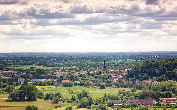
This tour leads through the region: Seenland Oder-Spree