Wendisch Rietz to Leibsch on the 66 lakes hiking trail (stage 16)

Hiking tours
Length: 27 km
0 Ratings of 5 (0)
0
0
0
0
0
How did you like your stay? You have already rated your stay.
Hiking tours
Length: 27 km
From €
Show availability & price

p.P. = per person, p.P./N = per person / night, p.E./N = per unit / night, EZ = Single room, DZ = double room, FeWo = holiday home, App. = apartment, Suite = suite, FR = Breakfast, HP = half board, VP = full board


The section from Wendisch Rietz to Leibsch takes in the remote woodland and lake landscape of the Glubig chain of lakes – small bodies of water, often accessible only on foot, with mostly uninhabited shores. Places to dream, dotted here and there with secluded spots for swimming. After a good two-thirds of the route, the forest gives way to meadows and fields. With a bit of luck, you might spot storks and white-tailed eagles circling above the Spreefließen. The destination is Leibsch, the gateway to the Spreewald. A hike for long summer days. If you’re looking for peace and quiet, this is the place for you.


Length: 26.7 km, duration: approx. 7 hours


Start: Wendisch Rietz

Goal: Leibsch (Alternatively, the stage can also be ended in Alt-Schadow, Neuendorf am See, or Hohenbrück)

Logo / route marking: Blue point on a white background

Arrival by public transport: From Berlin main station with the RE2 (Cottbus) to Königs Wusterhausen, then continue with the RB36 (Frankfurt (Oder)) to Wendisch Rietz (approx. 1.5 hours)

Departure public transport: From Leibsch with the bus 506 (Lübben) to Lübben, then continue with the RE2 (Nauen) to Berlin main station (approx. 2 hours)

Course: Wendisch Rietz, Glubigseenkette, Springsee, Grubensee, Godnasee, Wutscherogge, Neuendorf am See, Hohenbrück, Leibsch


Description of the route / useful information: With one last glance at Scharmützelsee, it’s time to bid farewell to the ‘Märkisches Meer’. To the south, the 66-Lakes Hiking Trail connects the Glubigseen lakes. Through varied woodland, the Kleiner and Großer Glubigsee, Springsee with its natural campsite, Melangsee and finally the Godnasee follow one after the other at a reasonable distance, with no access roads but small bathing spots situated secluded in the forest. The route continues past the Brasinski-Luch, a protected fen, to Neuendorfer See. In Neuendorf, you reach the northern edge of the Spreewald Biosphere Reserve. Through meadows and over bridges, the trail leads via Hohenbrück and Neu Lübbenau to Leibsch, the stage destination. There, the labyrinthine branches of the young River Spree converge. Tip for anyone wishing to stay longer: boat trips setting off on a discovery tour of the Lower Spreewald depart from two points in the village.


Sights:


  • Wendisch Rietz: Leisure park, Glubigseenkette, Kalkmoor
  • Neuendorf am See

  • Leibsch: lock and weir system

Road conditions / route expansion: predominantly unpaved roads

Maps / literature:

  • "66-Seen-Weg, Hikeline hiking guide", publisher: Esterbauer GmbH, edition: 3 (2019), ISBN: 978-3-85000-760-3, 11.90 euros
  • "66-Seen-Wanderung, Zu den Naturschönheiten rund um Berlin", publisher: Trescher Verlag, edition: 10. (2024), ISBN 978-3-89794-623-1, 16.95 euros


Continue readingcollapse
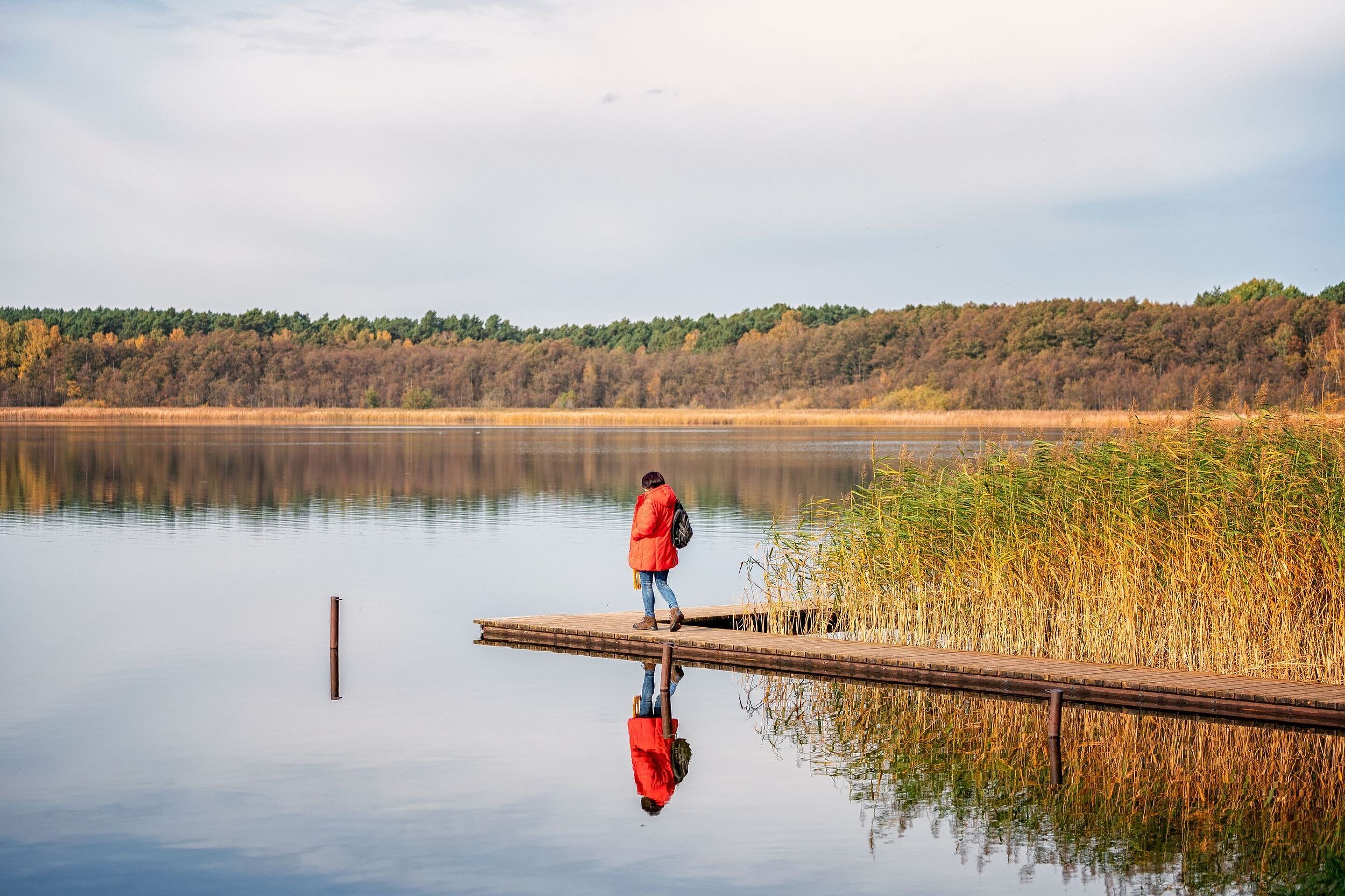
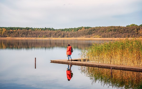
  • Grubensee, Foto: Florian Läufer, Lizenz: Seenland Oder-Spree
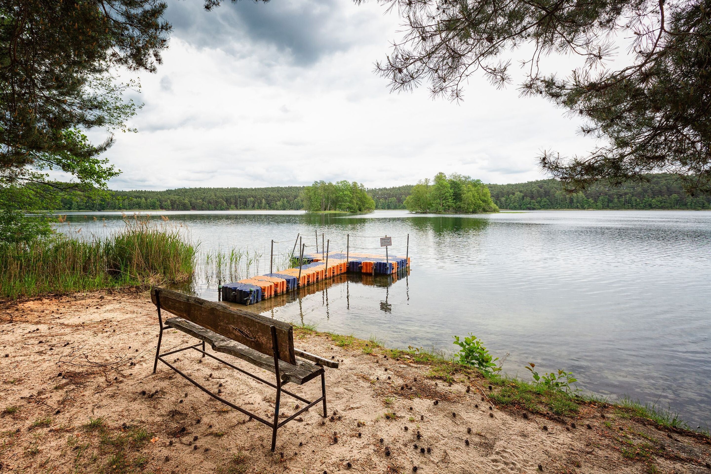
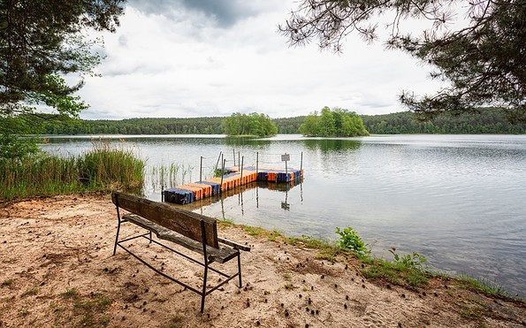
  • Kleiner Glubigsee, Foto: Florian Läufer, Lizenz: Seenland Oder-Spree
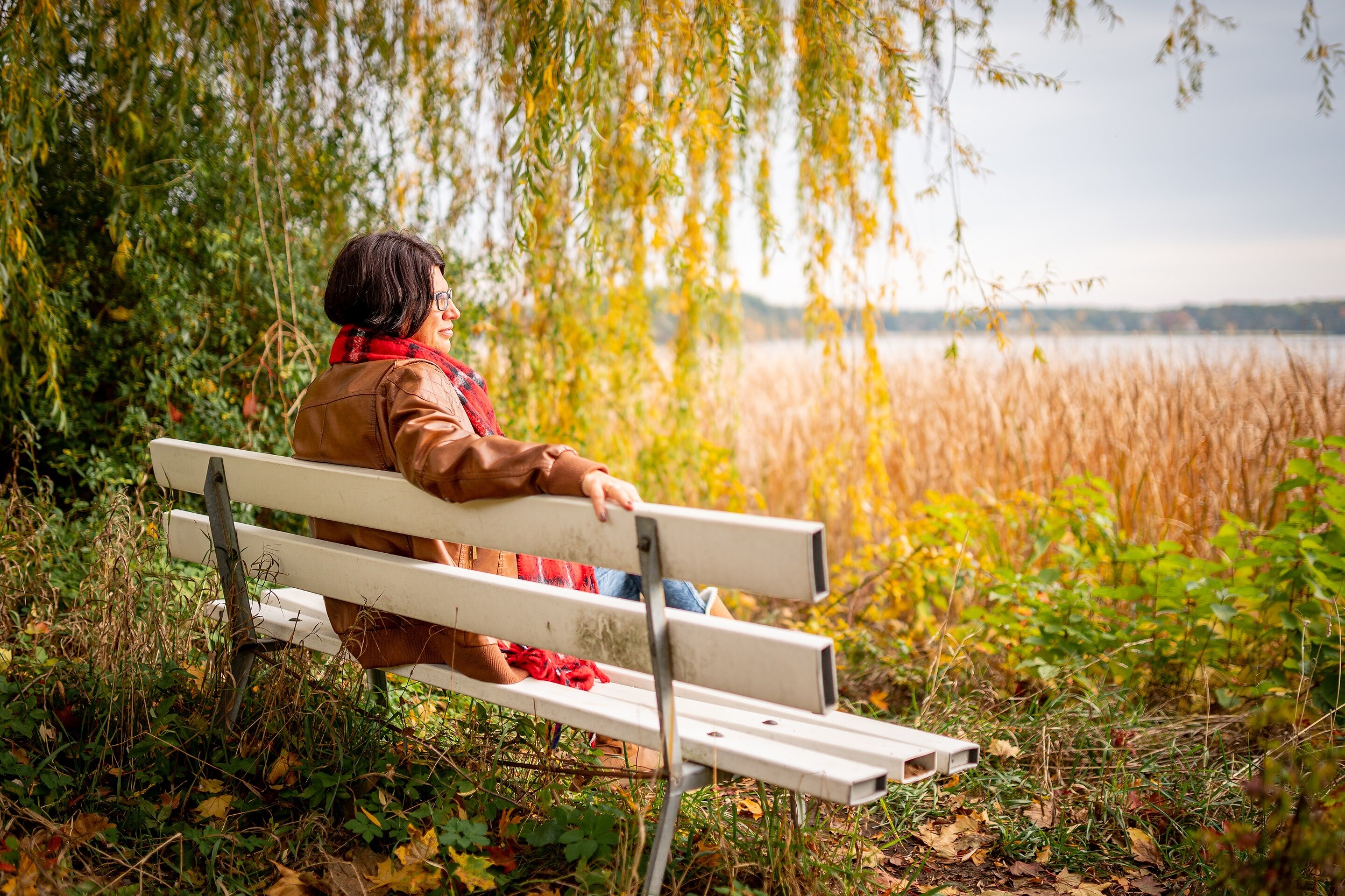
  • Break at the Scharmützelsee in Bad Saarow, Foto: Florian Läufer, Lizenz: Seenland Oder-Spree
  • Großer Glubigsee, Foto: Florian Läufer, Lizenz: Seenland Oder-Spree


The section from Wendisch Rietz to Leibsch takes in the remote woodland and lake landscape of the Glubig chain of lakes – small bodies of water, often accessible only on foot, with mostly uninhabited shores. Places to dream, dotted here and there with secluded spots for swimming. After a good two-thirds of the route, the forest gives way to meadows and fields. With a bit of luck, you might spot storks and white-tailed eagles circling above the Spreefließen. The destination is Leibsch, the gateway to the Spreewald. A hike for long summer days. If you’re looking for peace and quiet, this is the place for you.


Length: 26.7 km, duration: approx. 7 hours


Start: Wendisch Rietz

Goal: Leibsch (Alternatively, the stage can also be ended in Alt-Schadow, Neuendorf am See, or Hohenbrück)

Logo / route marking: Blue point on a white background

Arrival by public transport: From Berlin main station with the RE2 (Cottbus) to Königs Wusterhausen, then continue with the RB36 (Frankfurt (Oder)) to Wendisch Rietz (approx. 1.5 hours)

Departure public transport: From Leibsch with the bus 506 (Lübben) to Lübben, then continue with the RE2 (Nauen) to Berlin main station (approx. 2 hours)

Course: Wendisch Rietz, Glubigseenkette, Springsee, Grubensee, Godnasee, Wutscherogge, Neuendorf am See, Hohenbrück, Leibsch


Description of the route / useful information: With one last glance at Scharmützelsee, it’s time to bid farewell to the ‘Märkisches Meer’. To the south, the 66-Lakes Hiking Trail connects the Glubigseen lakes. Through varied woodland, the Kleiner and Großer Glubigsee, Springsee with its natural campsite, Melangsee and finally the Godnasee follow one after the other at a reasonable distance, with no access roads but small bathing spots situated secluded in the forest. The route continues past the Brasinski-Luch, a protected fen, to Neuendorfer See. In Neuendorf, you reach the northern edge of the Spreewald Biosphere Reserve. Through meadows and over bridges, the trail leads via Hohenbrück and Neu Lübbenau to Leibsch, the stage destination. There, the labyrinthine branches of the young River Spree converge. Tip for anyone wishing to stay longer: boat trips setting off on a discovery tour of the Lower Spreewald depart from two points in the village.


Sights:


  • Wendisch Rietz: Leisure park, Glubigseenkette, Kalkmoor
  • Neuendorf am See

  • Leibsch: lock and weir system

Road conditions / route expansion: predominantly unpaved roads

Maps / literature:

  • "66-Seen-Weg, Hikeline hiking guide", publisher: Esterbauer GmbH, edition: 3 (2019), ISBN: 978-3-85000-760-3, 11.90 euros
  • "66-Seen-Wanderung, Zu den Naturschönheiten rund um Berlin", publisher: Trescher Verlag, edition: 10. (2024), ISBN 978-3-89794-623-1, 16.95 euros


Continue readingcollapse
  • Grubensee, Foto: Florian Läufer, Lizenz: Seenland Oder-Spree
  • Kleiner Glubigsee, Foto: Florian Läufer, Lizenz: Seenland Oder-Spree
  • Break at the Scharmützelsee in Bad Saarow, Foto: Florian Läufer, Lizenz: Seenland Oder-Spree
  • Großer Glubigsee, Foto: Florian Läufer, Lizenz: Seenland Oder-Spree

Arrival planner

Beeskower Chaussee

15864 Wendisch Rietz

Weather Today, 18. 8.

16 20
overcast clouds

  • Wednesday
    15 19
  • Thursday
    13 25

Tourist information

Tourismusverband Seenland Oder-Spree e.V.

Ulmenstraße 15
15526 Bad Saarow

Tel.: +49 (0) 33631-868100
Fax: +49 (0) 33631-868102

Weather Today, 18. 8.

16 20
overcast clouds

  • Wednesday
    15 19
  • Thursday
    13 25

All information, times and prices are regularly checked and updated. Nevertheless, we can not guarantee the accuracy of the data. We recommend that you inquire about the current status by phone / e-mail or via the provider's website before your visit.

Call the TMB holiday hotline at +49 (0)331-200 47 47 +49(0)331 2004747​ We are available for you via telephone: weekdays Mon – Fri 9 am – 1 pm and Oct. 31 from 9 am – 1 pm.
Online booking

Thank you for visiting www.brandenburg-tourism.com

This website has been developed with the latest technology. Unfortunately, you are using a browser that does not meet the latest technical requirements.

We therefore ask you to use an alternative browser (E.g. Google Chrome, Firefox or Edge) and we hope you enjoy browsing our website.

Logo www.brandenburg-tourism.com